On your next road trip north, break up the drive with these 5 leg-stretchers
Road trips make me antsy. As a hiker and runner, I build in as many stops as my buddies will tolerate on the northward drive from L.A. (destination: Morro Bay).
Here are five leg-stretchers that will break up the boredom.
Your ultimate guide to planning the best summer road trip »
Wendy Trail in Newbury Park

A 15-minute detour from U.S. 101 takes you into the grasslands and meadows of the Santa Monica Mountains National Recreation Area.
Walk a few flat miles on this trail and youâll come to the Satwiwa Native American Indian Culture Center, where kids can play in the outdoor wikiup or view artifacts inside.
Itâs a good place to burn off some energy before youâre back on the open road.
How: far Itâs about 48 miles from downtown Los Angeles. Take the Wendy Drive exit off U.S. 101 North to its end at Potrero Road and park; no fees.
Info: Santa Monica Mountains
El Moro Elfin Forest Natural Area in Los Osos
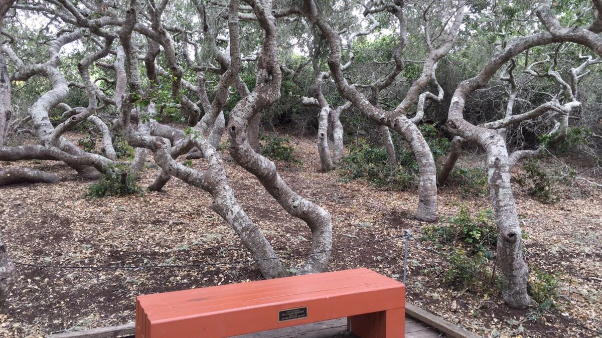
This is an easy walk of sheer coastal beauty, from the silver lupine and sage that line the trail to the wide-angle views of the estuary and Morro Rock in the distance.
The easy boardwalk loop, less than a mile long, takes you to 200-year-old coast live oaks stunted by this coastal dune habitat (hence the âelfinâ name). Birders should bring their binoculars.
How: Itâs about 155 miles from the Santa Monica Mountains stop. Find Santa Ysabel Boulevard in Los Osos and turn on to 11th through 17th streets for access to the reserve.
Info: El Moro Elfin Forest
Cerro Alto Trail in Los Padres National Forest
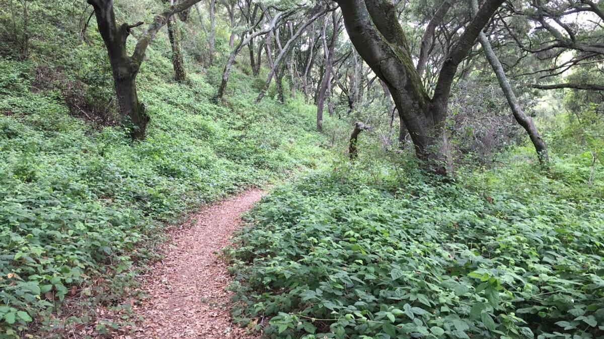
This spot is midway between Atascadero and Morro Bay. Take a break from the road by walking into a shady oak grove in the first quarter-mile of this trail.
There are blackberry bushes in the underbrush and a sweet little creek with a wooden footbridge.
Youâll feel miles away from the road and, as you climb, the oaks give way to a ridge studded with manzanita. Here the views of San Luis Obispo Countyâs hill country unfold.

You can continue on for two more miles or so to the top. (Yes, it gets steep.)
How far: This is 13 miles from the Elfin Forest. Trail begins off California 41 at the Cerro Alto Campground; $10 day-use fee.
Valencia Peak in Montaña de Oro State Park, Los Osos
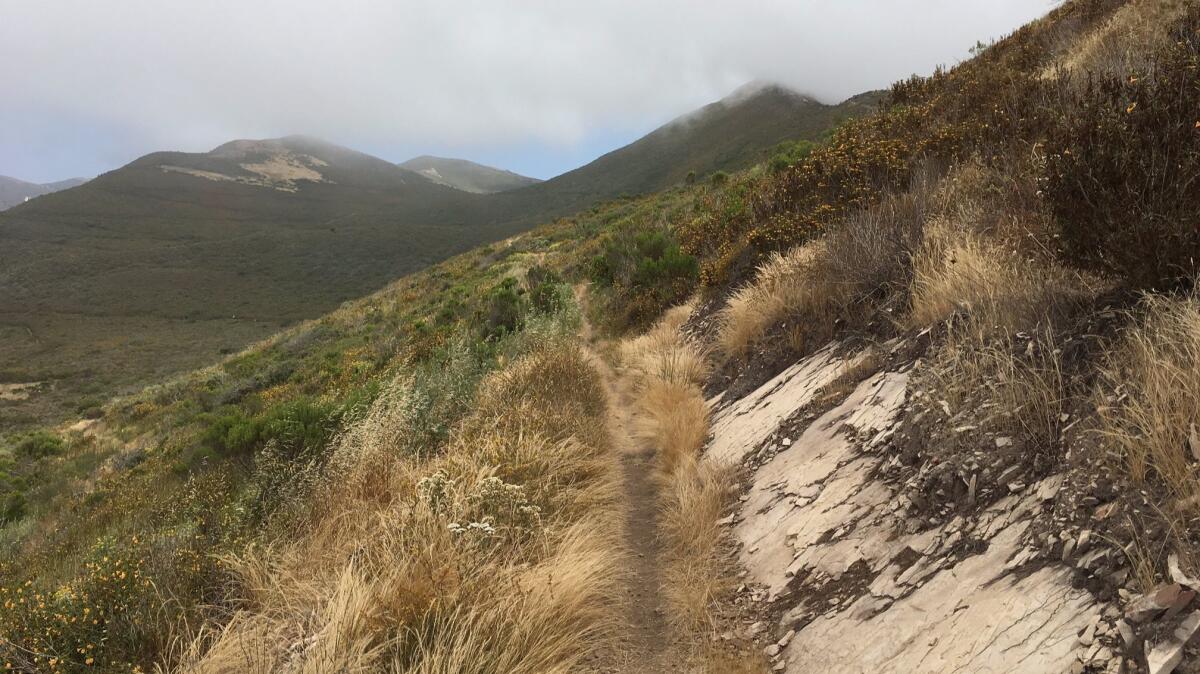
There are so many places to see in this state park â the dramatic bluffs and coves of the California coast up close -- but Valencia Peak takes you above it all.
Itâs a tough trek (about 4½ miles round trip) to the top of the more than 1,300-foot summit along a rocky two-mile trail.
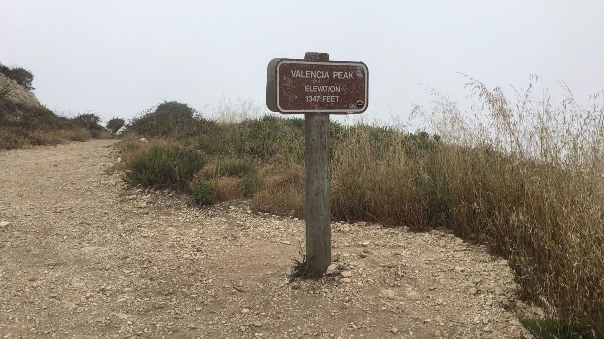
The payoff? 360-degree views of the surf and beaches below â unless itâs fogged in.
How far: Itâs about eight miles from the Cerro Alto Trail. Trail starts near the parking area south of Spoonerâs Cove.
Info: Montaña de Oro State Park
Embarcadero in Morro Bay
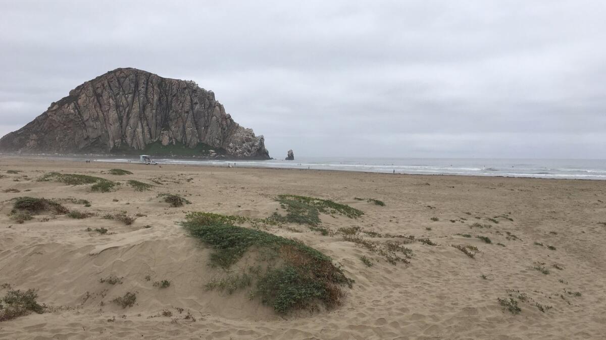
Youâve arrived! Kick off your shoes and head for the dunes at the spot where Atascadero Road turns into the Embarcadero.
A slog through the deep sand will feel like a foot massage, and you can check out the sand verbena and beach primrose that cling to the sandy hills.
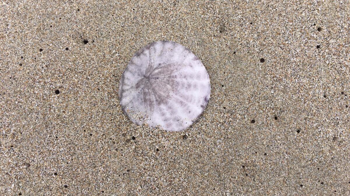
Once through the dunes, you can walk the hard-packed beach in either direction where youâll catch great vistas of the back side of Morro Rock.
How far: Itâs about 13 miles from Valencia Peak trailhead. Take Pacheco Valley Road, Los Osos Valley Road and Bay Boulevard to meet up with Cabrillo Highway and into Morro Bay. Parking along the Embarcadero is free.
Sign up for The Wild
Weâll help you find the best places to hike, bike and run, as well as the perfect silent spots for meditation and yoga.
You may occasionally receive promotional content from the Los Angeles Times.


