Want to hike Point Reyes? Try this four-day backpacking trip
- Share via
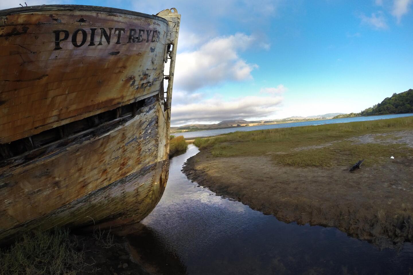
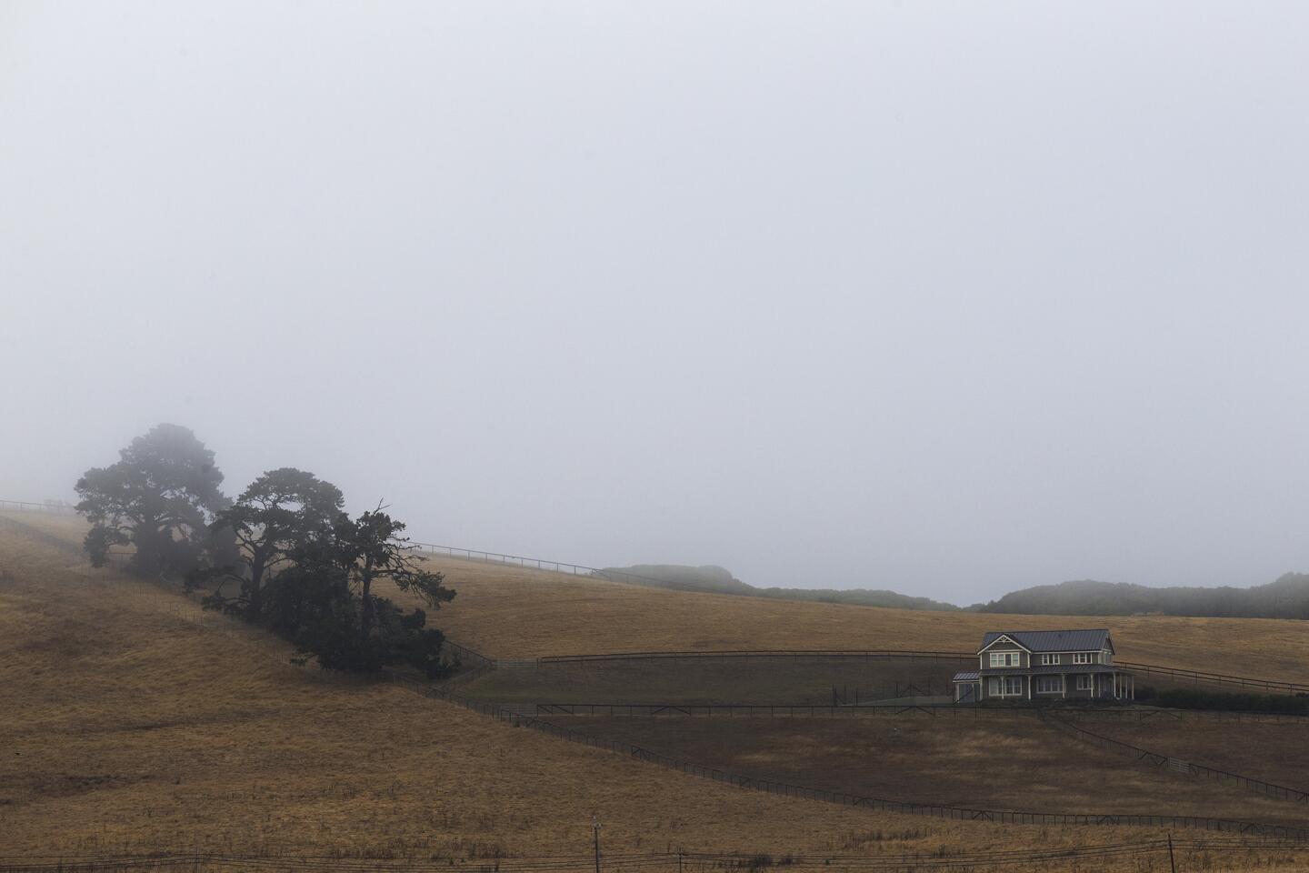
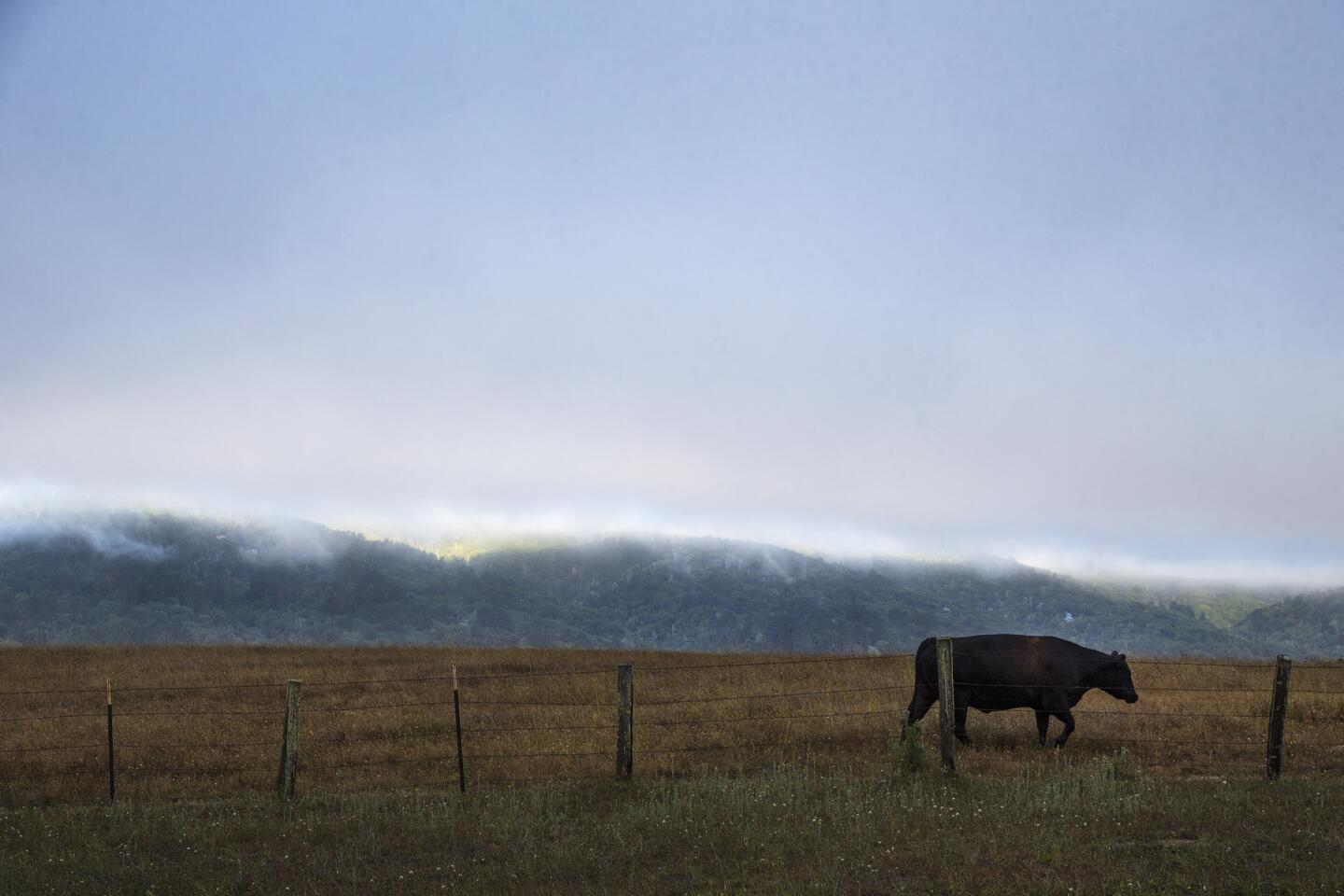
In the late 16th century, British explorer Sir Francis Drake is thought to have stopped at Point Reyes during a round-the-world journey. The ship’s chaplain wrote a description of the landscape and complained about “the stinking fogges” that shrouded the headlands in summer.
That hasn’t changed.
For the record:
4:30 p.m. Sept. 7, 2016This story incorrectly says bicycles are allowed on the route. Bicycles have limited access to the backpacking loop and campgrounds inside the parkland.
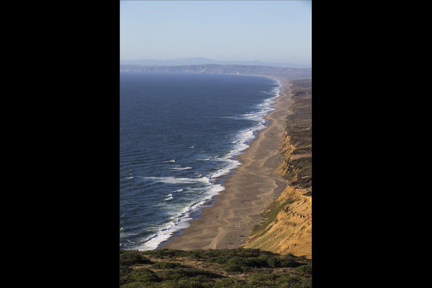
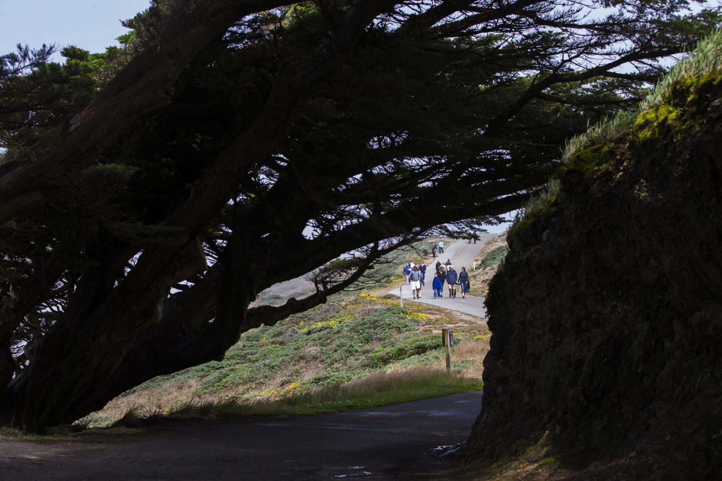
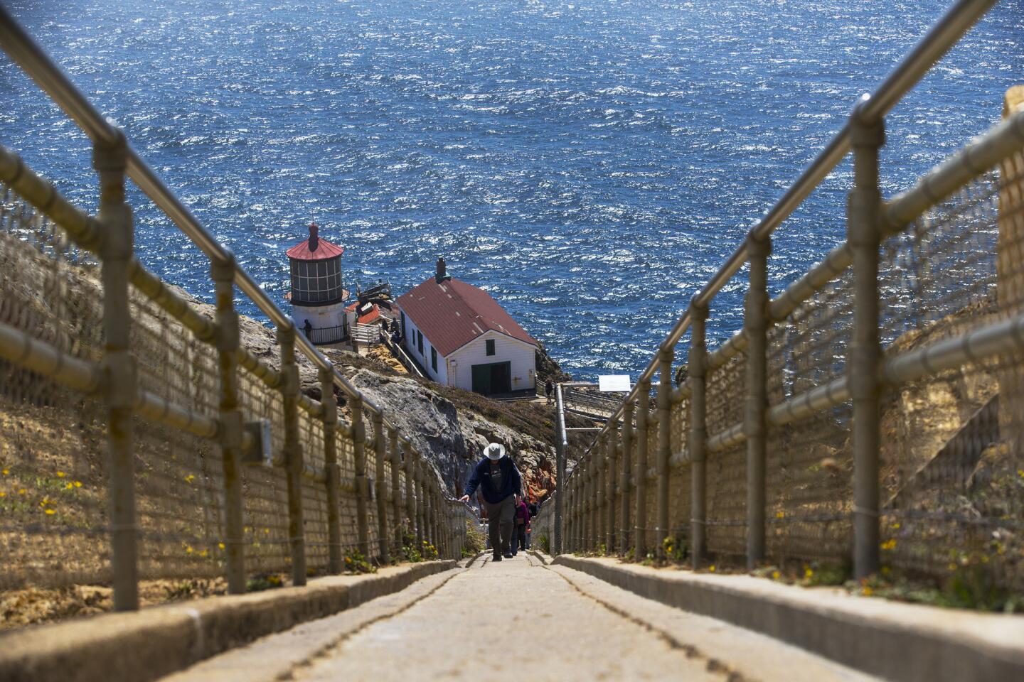
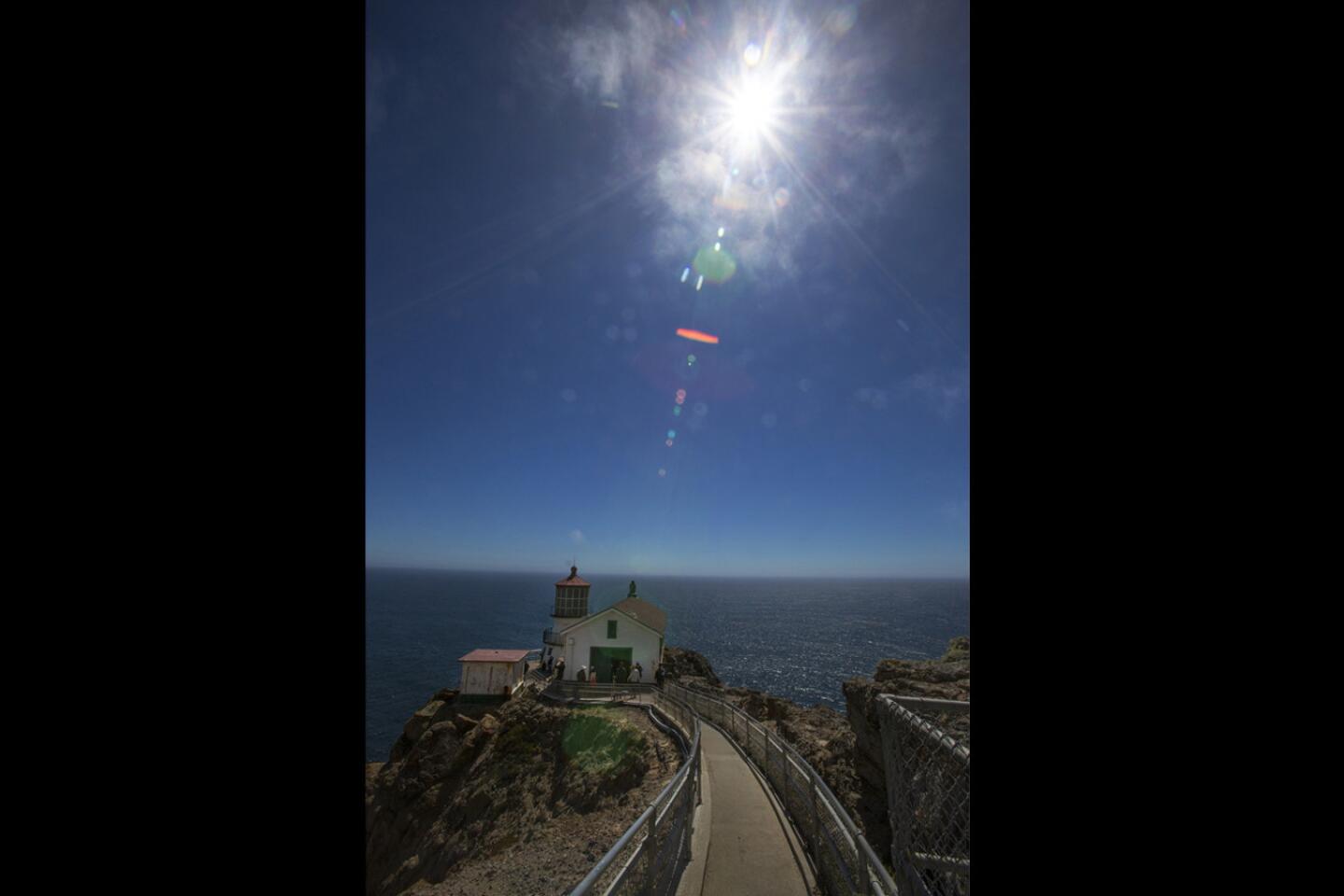
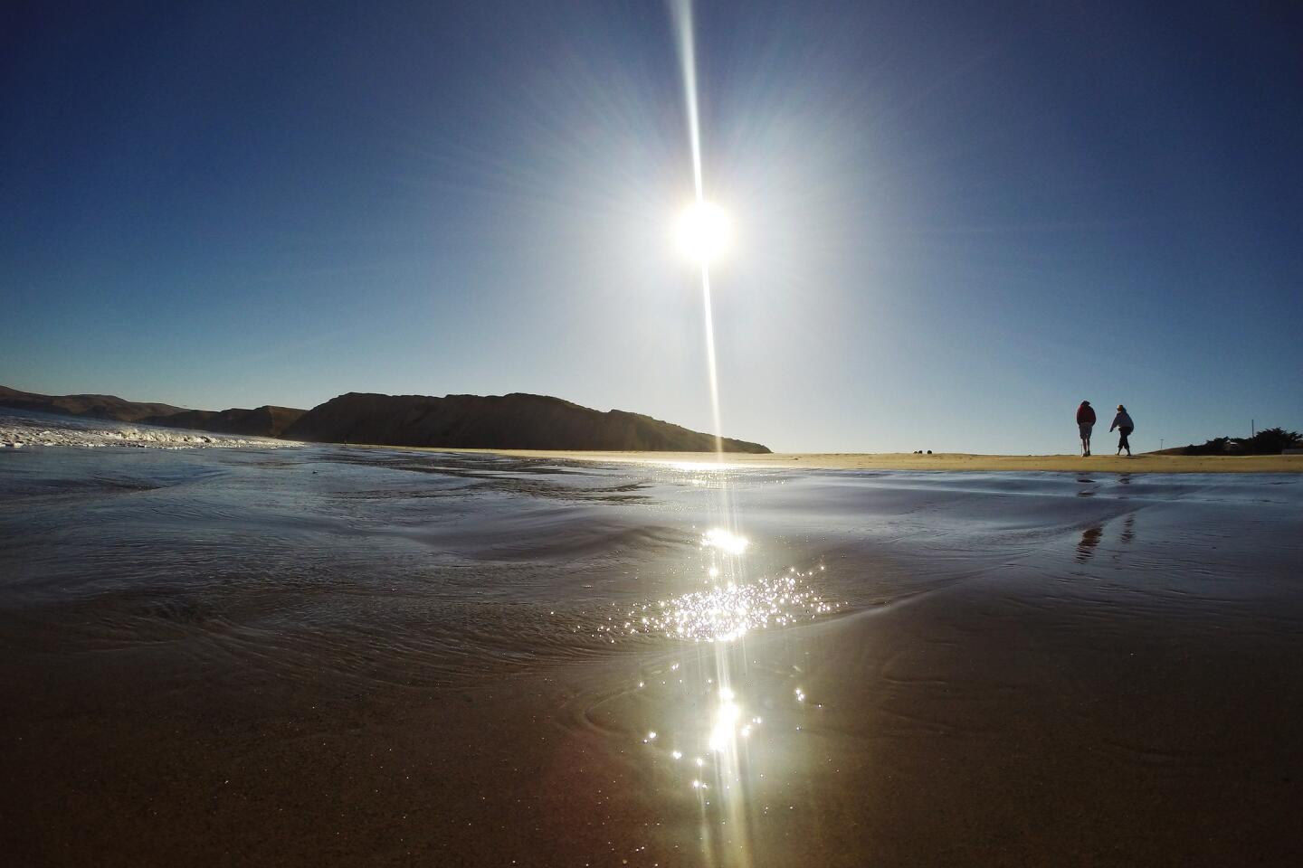
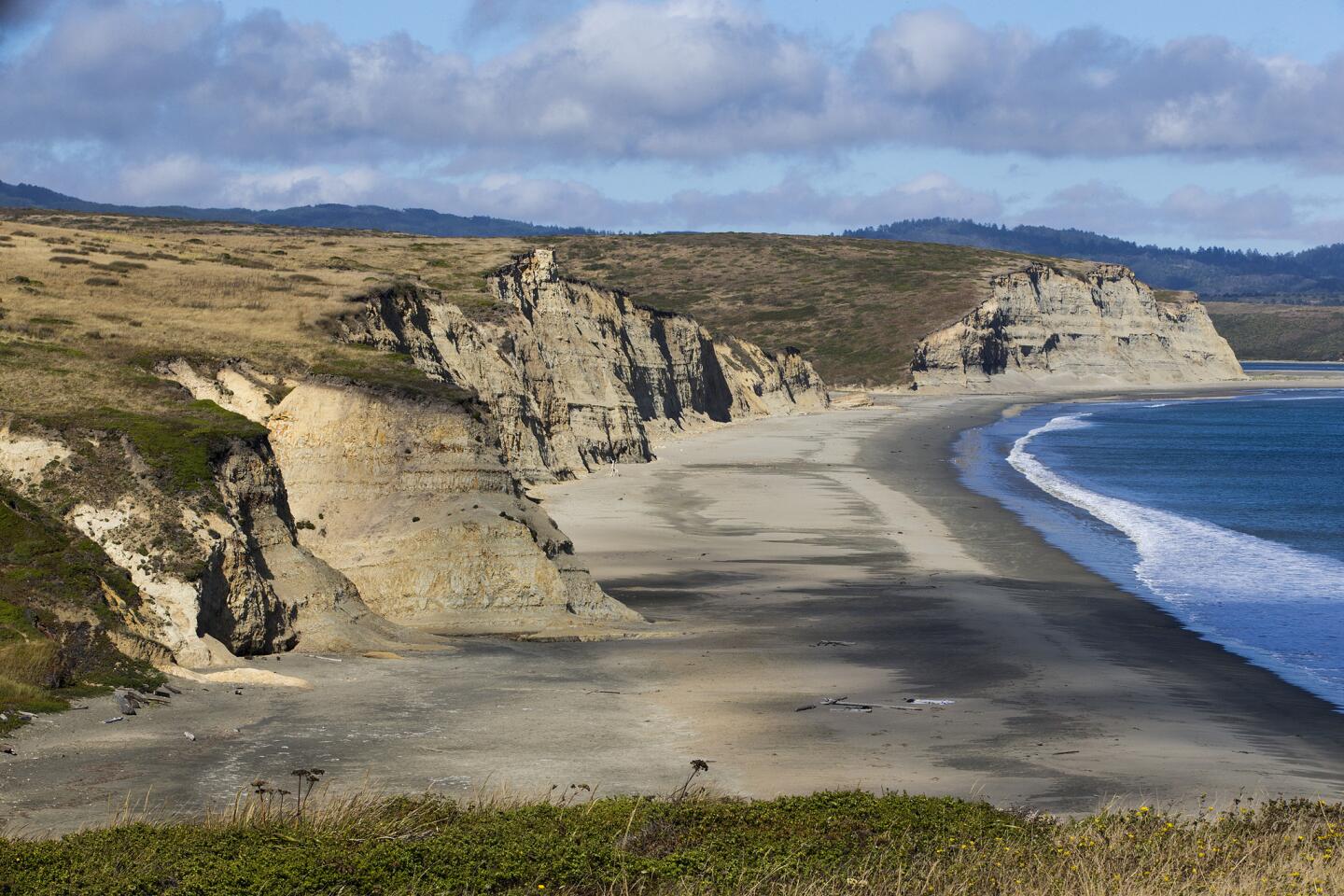
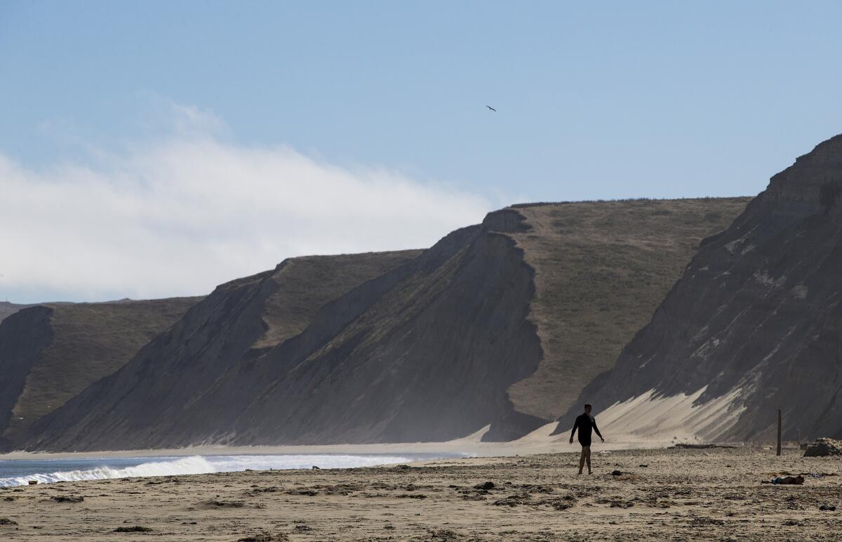
The fog, the hulking headlands and the craggy cliffs define this stunning slice of California’s coast. Point Reyes National Seashore is not really on the way to anywhere; you must seek it out off Highway 1 in mellow Marin County about 30 miles northwest of San Francisco.
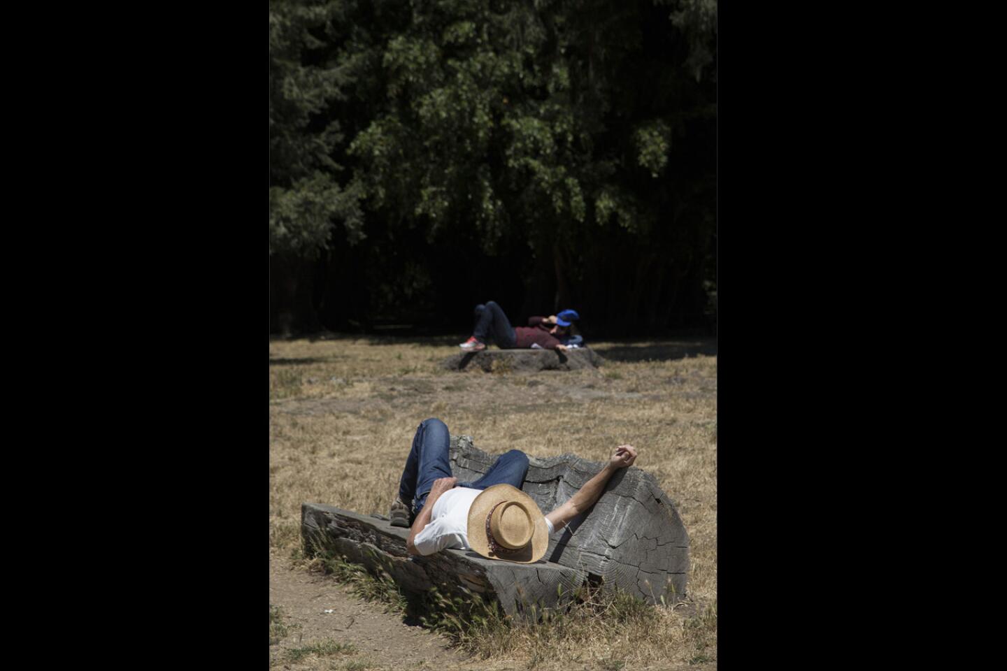
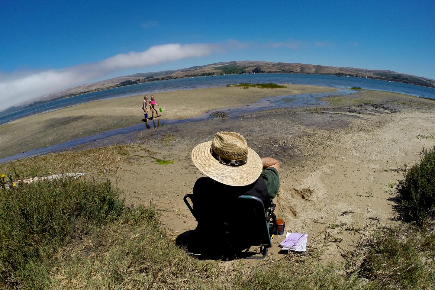
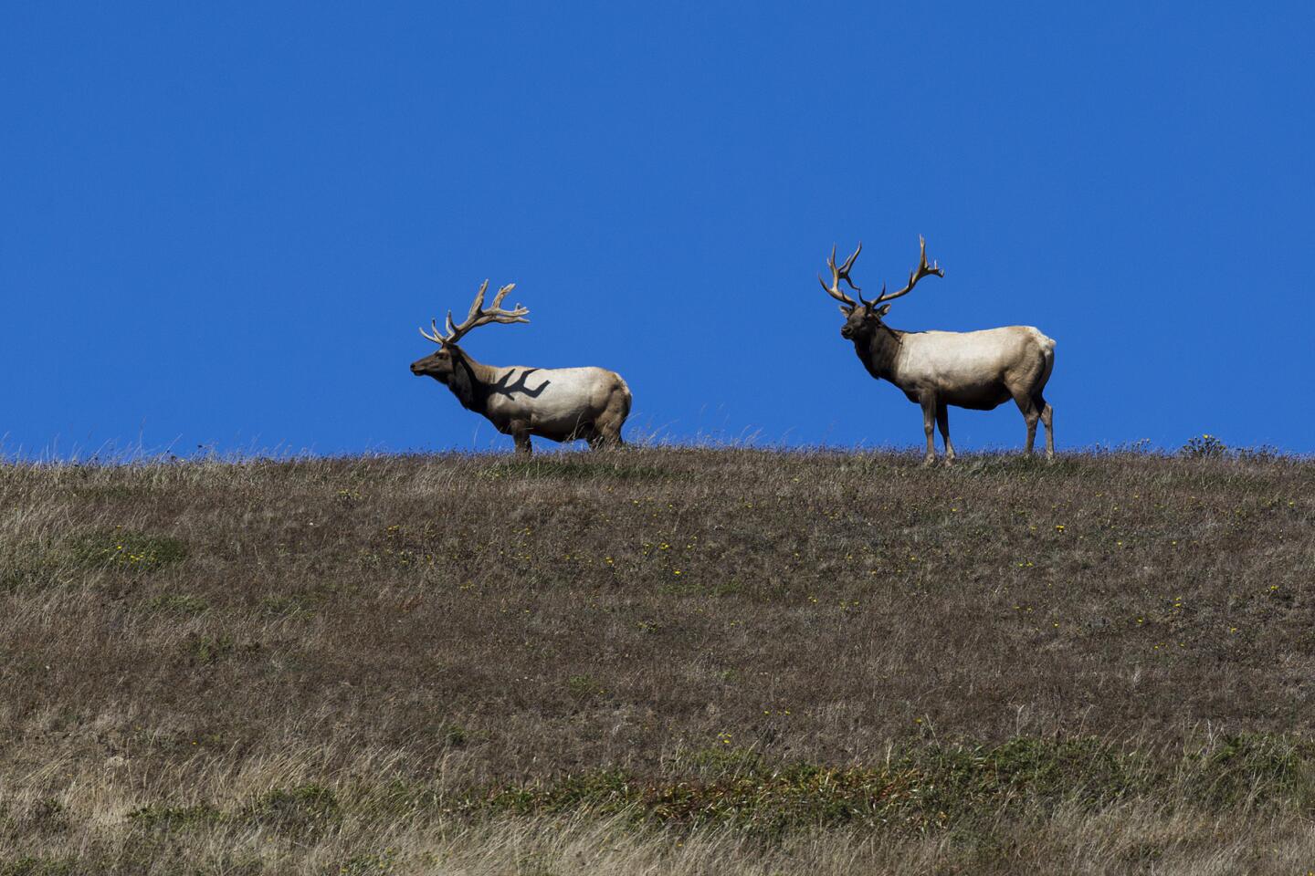
The national seashore designation can be a bit confusing. True, the beaches along Drakes Bay are a drawing card for visitors, but equally beautiful meadows and fir-tree-filled woods can be found in the interior.
A four-day backpacking trip from the park’s eastern boundary provides plenty of time to experience it all — and slip far away from paved roads.
For the first night, you can’t beat Sky Camp, an inland campground that overlooks the bay and the headlands. The sweeping views below camp provide a teaser of what’s to come.
The easy trail from the Bear Valley Visitor Center takes you along a deeply shaded path lined with towering Douglas firs and a smattering of oaks. You come to 11 campsites tucked neatly into the flank of Mt. Wittenberg, the park’s high point at 1,407 feet.
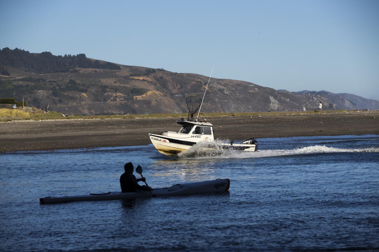
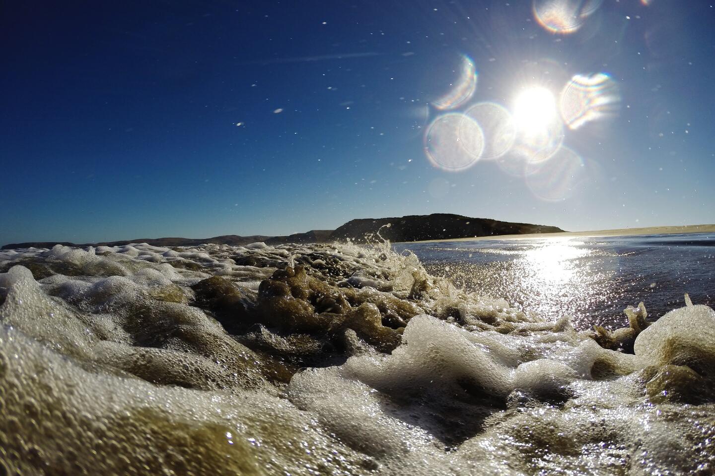
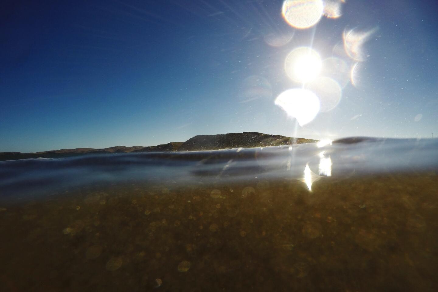
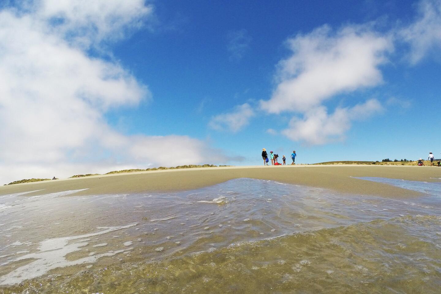
On day two, head toward the water and bed down at Coast Camp, a flat, beachy campground that can be foggy and windy but is oh-so-close to the waters that Drake emerged from four centuries ago. From here, it’s an easy walk to popular Limantour Beach, where bush lupine bloom in springtime.
Spend two more days on foot, staying a night in the woodsy, wind-protected Glen Camp in the interior of the park and another at Wildcat Camp, a meadow near southeastern beaches and Alamere Falls, a rock-pounding cascade that flows from the cliffs to the shore.
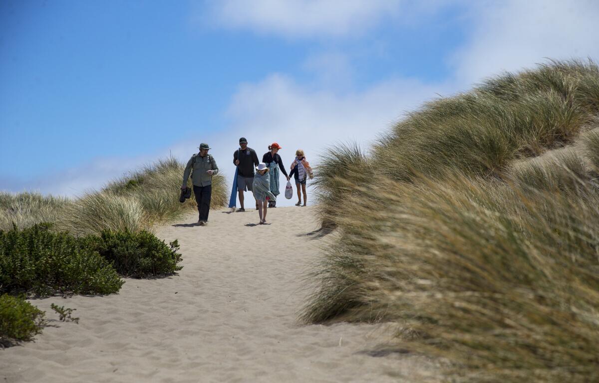
One thing you won’t see during your walkabout: Arch Rock, a onetime natural landmark that used to be a popular hiking destination and picnic spot. The formation was buried in rubble last year after a bluff collapsed, killing a hiker who was on the overlook.
By the end of four nights, you will have hiked 6 to 10 miles a day, depending on your routes and the number of side trips you take. The terrain is gentle, the views sublime.
Visitors are allowed to bicycle on this backpacking loop. It’s strictly regulated, and you need permits to stay at the $20-a-night camps.
The maximum stay is four nights, which you can spend at one or two camps, or try to hit all four. Each campground has a vault-style toilet and water spigot. You can read a description and see pictures of the sites at www.lat.ms/ptreyescampgrounds.
The Bear Valley Visitor Center is a good starting point for your backpacking trip (to trim miles you can start at Limantour Road) and then map your route. Go to www.lat.ms/permits to learn how to reserve backcountry permits.
Short on time? The National Park Service recommends several day hikes, some only two or three hours, that vary in mileage. Go to www.lat.ms/dayhikes.
Follow our adventures: Facebook | Twitter | Pinterest
MORE NATIONAL PARKS
Discover our desert national parks and rediscover yourself. You can start with Joshua Tree
10 adventures to pursue in San Francisco’s Golden Gate National Recreation Area
Think you know the Statue of Liberty? Think again
More to Read
Sign up for The Wild
We’ll help you find the best places to hike, bike and run, as well as the perfect silent spots for meditation and yoga.
You may occasionally receive promotional content from the Los Angeles Times.

