Last yearŌĆÖs U.S. weather showed extremes in precipitation

WASHINGTON ŌĆö Last year was marked by extremes in precipitation around the country, with unusually wet weather east of the Rockies and drought worsening in the West, particularly California, according to the National Oceanic and Atmospheric Administration.
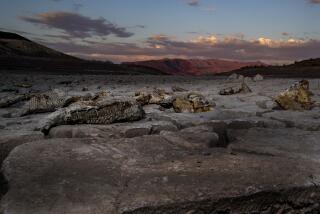
In its annual State of the Climate report, NOAA said California had its driest year on record in 2013, after receiving only 32.8% of its average annual precipitation. But the drought that extended over 61% of the country in January shrank to only 31% by December.
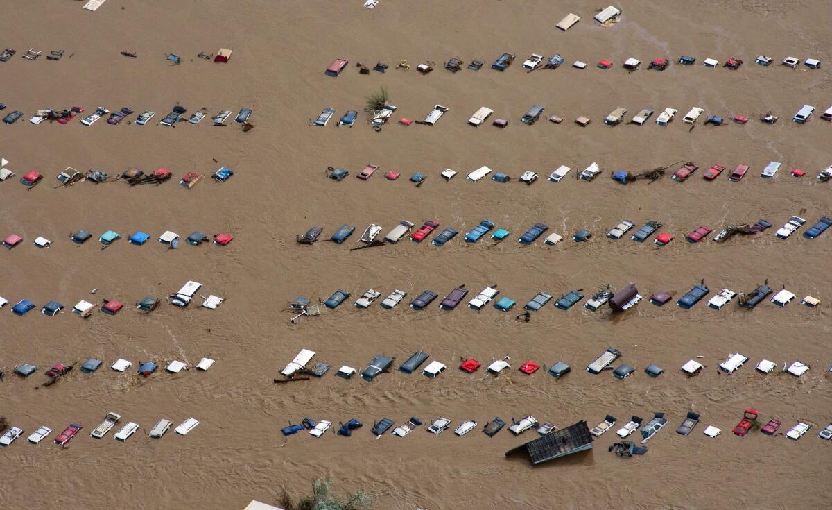
Increased precipitation east of the Rockies helped shrink the droughtŌĆÖs footprint. In the northern Plains, Midwest and Southeast, 10 states had very wet years compared with their annual average rainfall, with North Dakota and Michigan experiencing their wettest years on record. Overall, the country averaged 31.17 inches of rain, 2.03 inches more than the average for the 20th century.
The record drought in California and sharply increased precipitation in Alaska might be related, said Jake Crouch, climate scientist with NOAAŌĆÖs National Climatic Data Center. Higher sea surface temperatures in the North Pacific created a ridge of air over the West Coast that blocked precipitation from California and pushed storms and moisture into Alaska, Crouch said.
Last yearŌĆÖs national average temperature was warmer than average but not by much. In 2013, the mean temperature for the lower 48 states was 52.4 degrees Fahrenheit, 0.3 degrees higher than the 20th century average. But 2013 was cooler than 2012, which was the hottest year on record in the contiguous United States with a mean temperature of 55.3 degrees.
Seven extreme weather events last year caused damage in excess of $1 billion, including the Rim Fire in California, compared with 14 such events in 2011 and 11 in 2012. Seven is an average number of extreme weather events, NOAA said.
Since the 1990s, most years have seen a higher-than-average number of extreme weather events, making last year something of an exception, NOAA said.
Deke Arndt, chief of the climate monitoring branch at the National Climatic Data Center, described 2013 as a ŌĆ£relatively quiet year.ŌĆØ But he cautioned against drawing conclusions about climate change.
ŌĆ£This is one year in one country,ŌĆØ Arndt said. Assessing the cumulative effects of climate change, he said, ŌĆ£is a marathon, not a sprint.ŌĆØ
Arndt said that NOAAŌĆÖs monitoring suggests there will be more extreme weather. ŌĆ£We should expect to see more big heat, with stronger and longer-lasting heat waves,ŌĆØ he said. ŌĆ£There will be more big rain, with the biggest events getting bigger.ŌĆ” And there will be fewer big cold events.ŌĆØ
Since 1895, when national temperature records began, the contiguous United States has gotten warmer, with an increase in average temperatures of about 0.13 degrees every decade. The country has gotten wetter, too, with precipitation growing by 0.17 inches per decade.
ALSO:
Aircraft carrier Ronald Reagan to move to Japan next year
Oklahoma same-sex marriage ban struck down by federal judge
Roswell school shooting suspect, 12, may have warned of attack online
Twitter: @neelaeast
More to Read
Sign up for Essential California
The most important California stories and recommendations in your inbox every morning.
You may occasionally receive promotional content from the Los Angeles Times.


