April showers expected to linger through the weekend
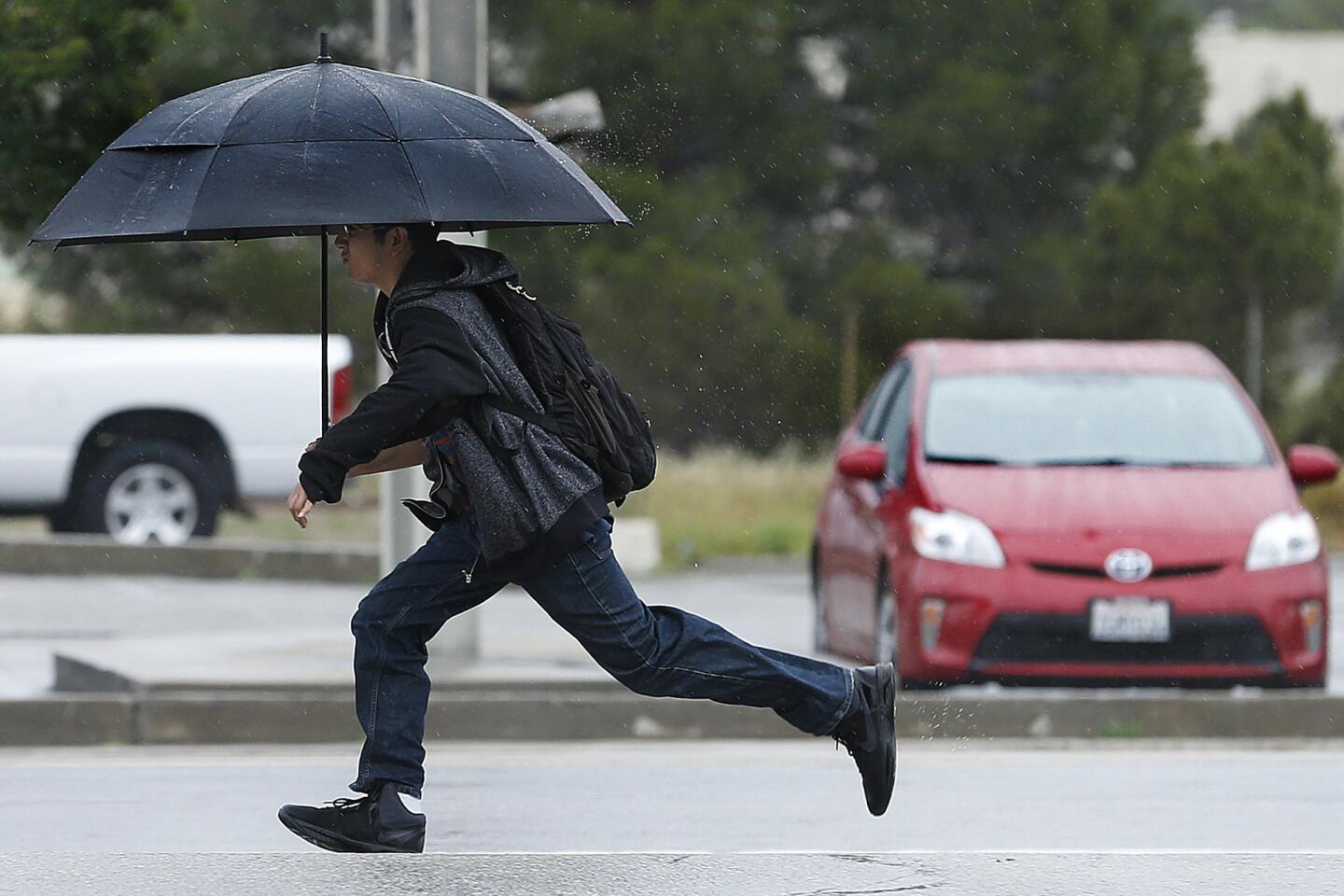
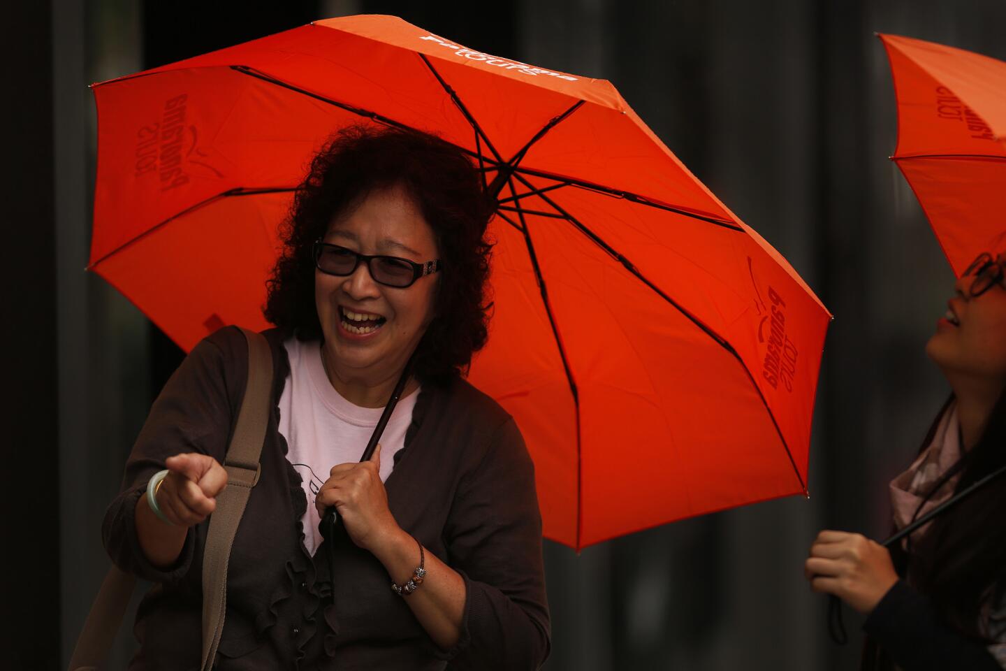
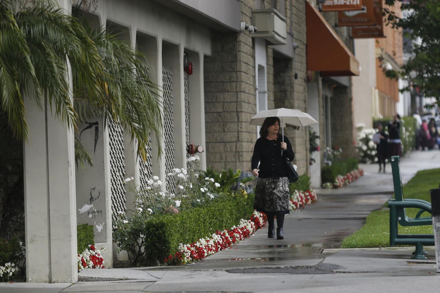
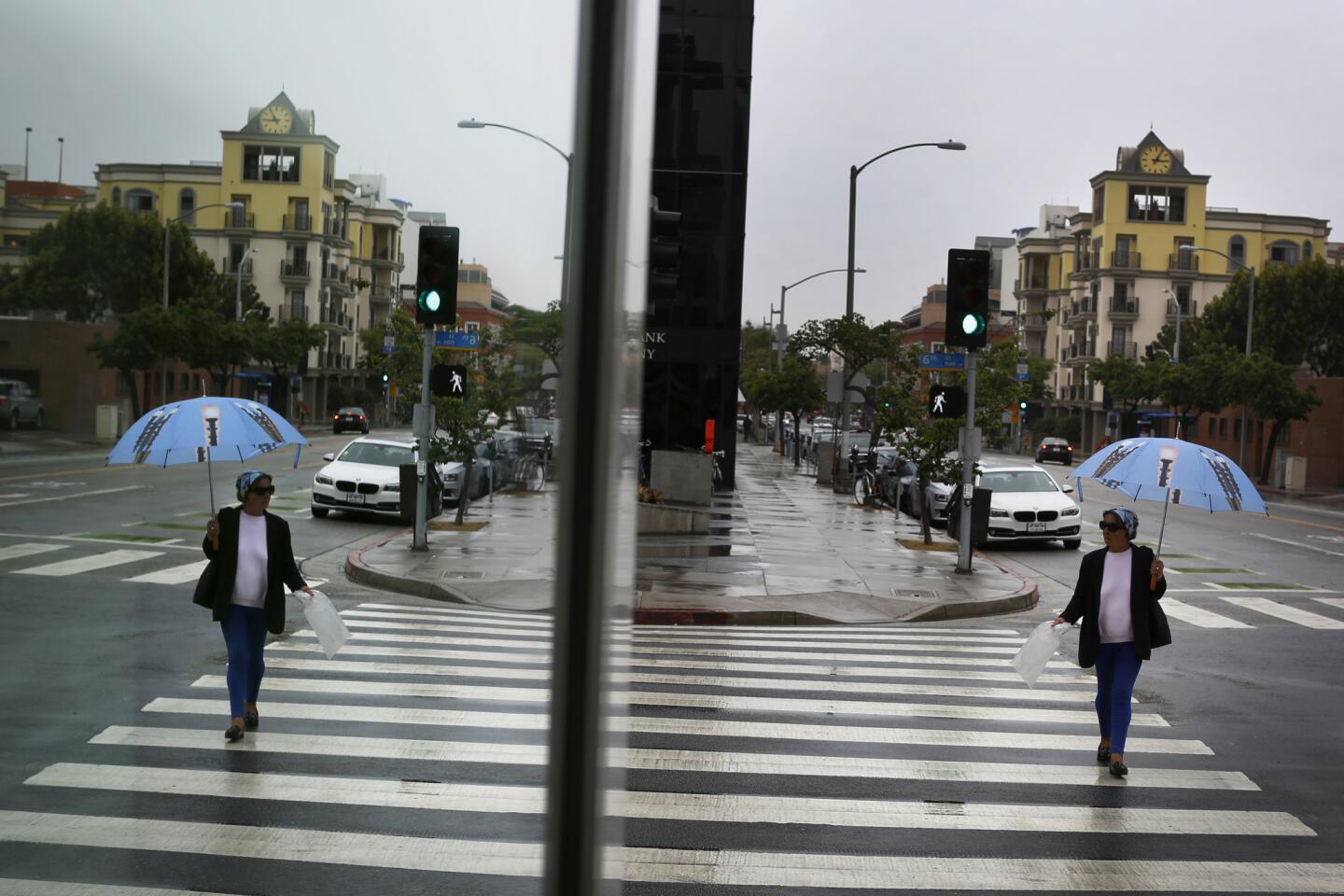
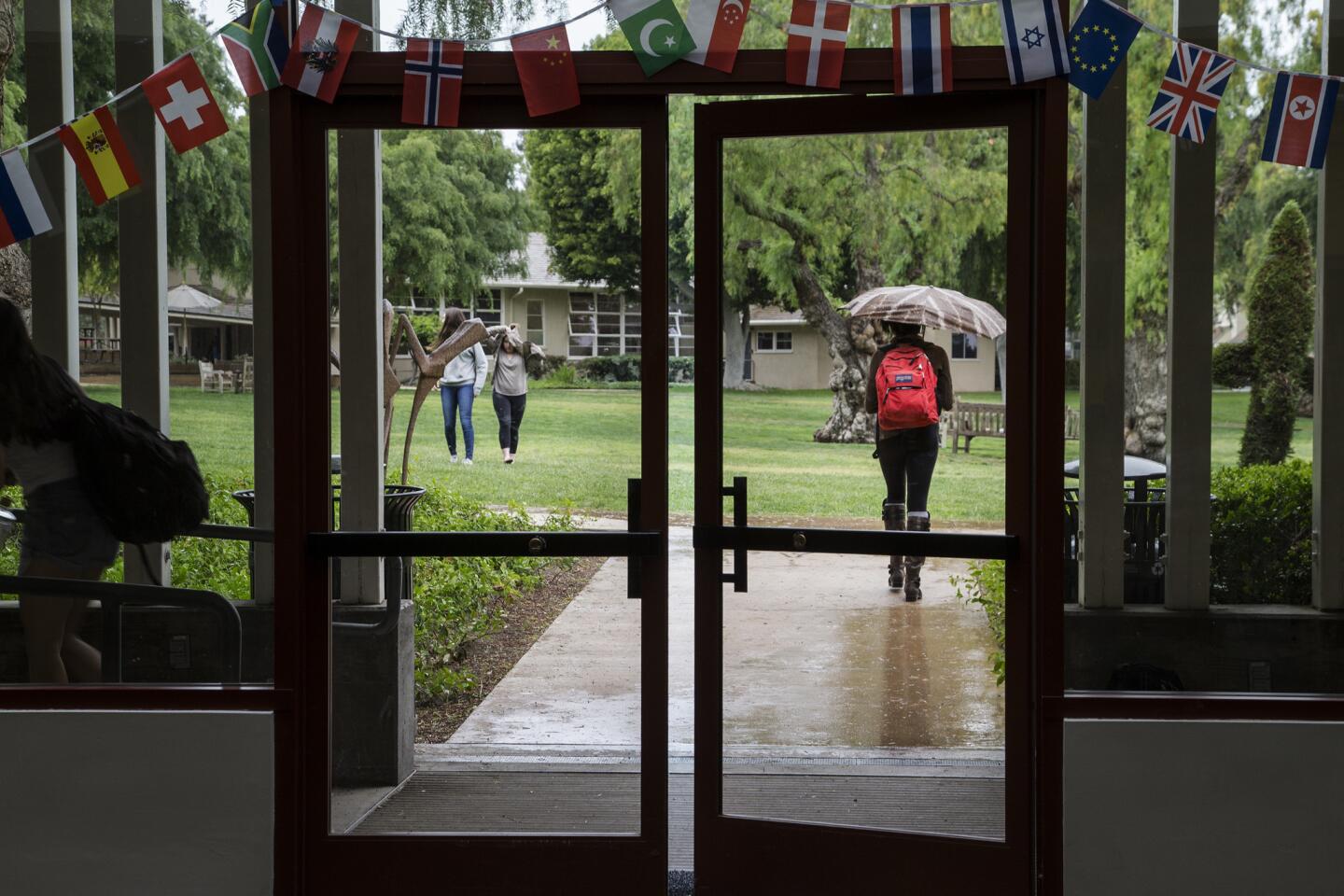
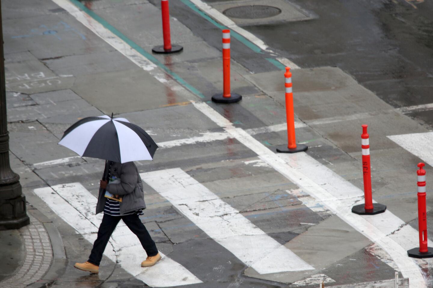
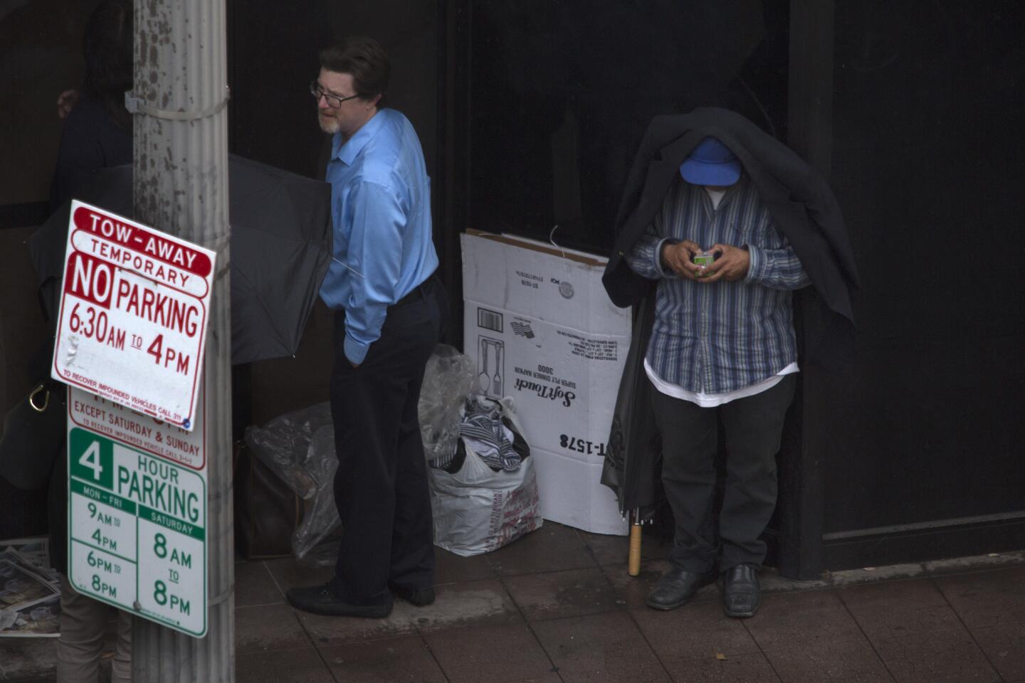
An April storm moving over Southern California is expected to bring rain and a chance of thunderstorms to much of the parched state this weekend, forecasters said Saturday.
The slight chance of thunderstorms was enough to elicit a flash-flood watch for the burn areas of Los Angeles and Ventura counties, where concentrated, heavy rain could generate mud and debris flows.
Authorities warned of possible flooding on some roads as traffic accidents piled up Saturday afternoon.
ŌĆ£The guts of the storm will be this afternoon into early evening,ŌĆØ said Bonnie Bartling, a weather specialist with the National Weather ServiceŌĆÖs Oxnard office. ŌĆ£These arenŌĆÖt huge storms ŌĆ” but itŌĆÖll be just enough to bring out the weeds that we love.ŌĆØ
SaturdayŌĆÖs storm is the latest in a recent string this week and is expected to linger into Sunday. Forecasters say another storm is expected to follow on its heels Monday. Tuesday and Wednesday should be dry, though rain could return on Thursday, Bartling said.
The current cold Pacific weather system could dump about half an inch of rain on the coast and valley areas and as much as 1.5 inches in the foothills and the mountains, Bartling said.
Cold air is stirring up the possibility of thunderstorms Saturday afternoon and evening, she added. If they generate precipitation at a rate of one-half inch per hour, mud and debris could loosen in parts of the county that were scorched by wildfires in recent years. The flash-flood watch for burn areas will remain in effect through Sunday.
See more of our top stories on Facebook >>
As of Saturday afternoon, the Los Angeles Fire Department had responded to about 30 crashes, said spokeswoman Margaret Stewart.
Though she could not detail exactly how those statistics compared with a dry day, she said the department ŌĆ£always sees an increaseŌĆØ in traffic problems when it rains.
ŌĆ£Any time the roads are wet, we get more traffic collisions,ŌĆØ Stewart said. ŌĆ£People fail to adjust their driving habits accordingly.ŌĆØ
The same weather system moving inland across Southern California was sending wet weather to parts of the San Joaquin Valley and Sacramento.
MercedŌĆÖs airport got more than 2 inches of rain Friday into Saturday, said Scott Rowe, a meteorologist at the NWS Hanford Station. A flood advisory for much of the San Joaquin Valley and the Sierra foothills ran through noon Saturday.
Farther north, light rain was falling over Sacramento, NWS forecaster Karl Swanberg said. As much as half an inch was expected to fall there, he said.
Although April is known for its showers, forecasters said the chance of rain diminishes quickly by the middle of May.
By one measurement popular among water-watchers, California stood at about 120% of the average precipitation Saturday. Based on those recordings, the state already has received enough rain in the northern Sierra to remain at above-normal levels throughout the rest of the water year.
Twitter: @ByMattStevens
ALSO
Search underway for diver reported missing off Palos Verdes
Man found shot to death inside South L.A. laundromat, police say
Man arrested in rock-climbing marriage proposal says he did it for love
More to Read
Sign up for Essential California
The most important California stories and recommendations in your inbox every morning.
You may occasionally receive promotional content from the Los Angeles Times.

