Reporting from TRUCKEE, Calif. ŌĆö The third and latest storm to hit the state within a week is expected to inundate rivers in Northern California and flood parts of Napa Valley wine country, while also blanketing the frigid Sierra Nevada in heavy snowfall, according to state officials.
The storm, which is expected to last through Thursday, could dump up to 7 feet of snow across the Sierra, greatly bolstering the stateŌĆÖs snow-water supply. Mountain snowpack on Tuesday measured 135% of the seasonal average, according to the California Department of Water Resources.
On Monday, it was at 126% of its average for this time of year.
A few big storms alone wonŌĆÖt end CaliforniaŌĆÖs six-year drought. However, the appearance this year of a ŌĆ£Pineapple ExpressŌĆØ ŌĆö a type of atmospheric river originating in the tropics ŌĆö is making a welcome dent in CaliforniaŌĆÖs water deficit.
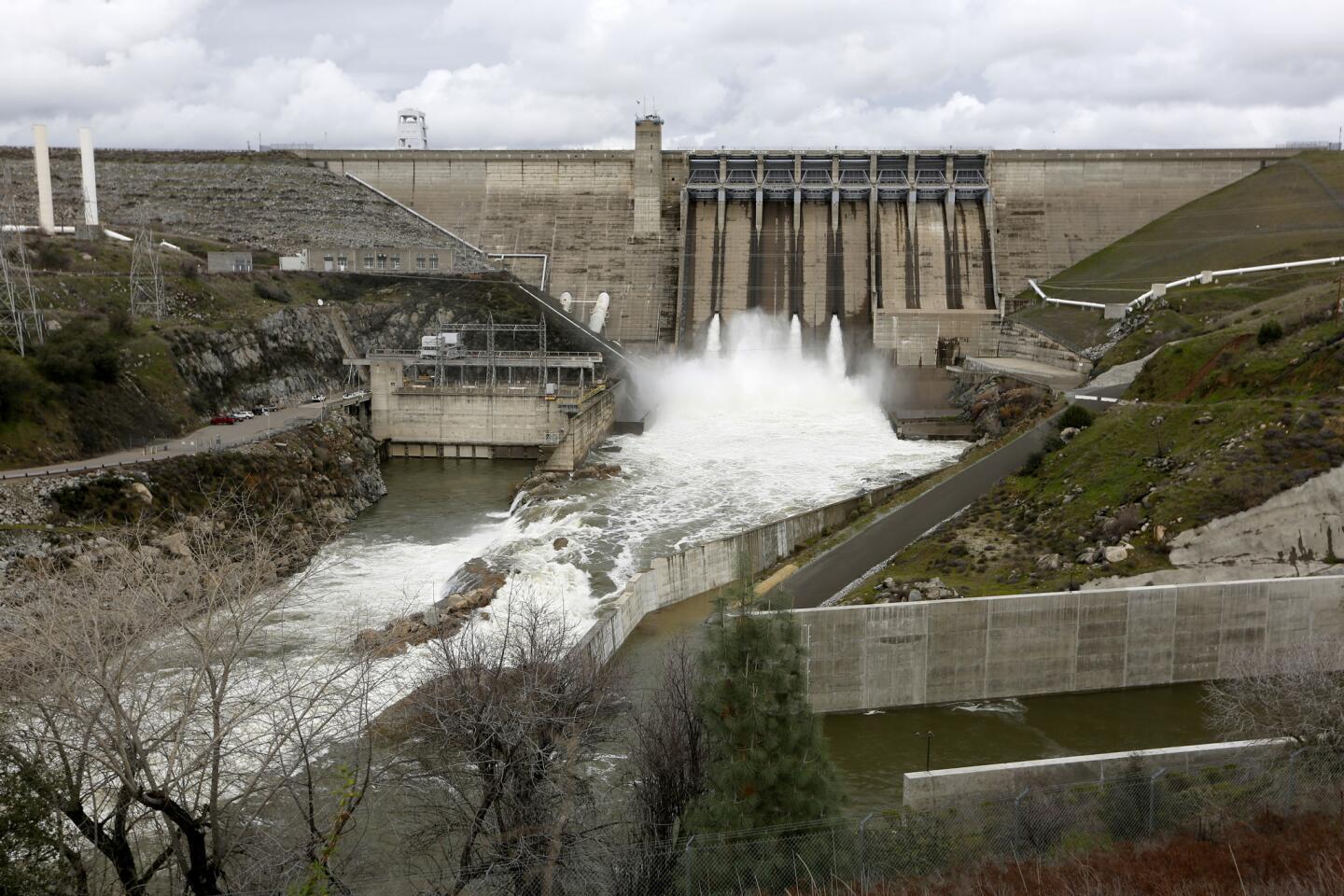
Officials released water from the Folsom Lake reservoir and several others as a flood-control measure Monday.
For the first time in 11 years, the floodgates of the Sacramento River also were opened, releasing a wall of water downstream into the Yolo Bypass, one of several drainage areas designed to catch floodwater. The National Weather Service warned farmers in that region to move farming equipment and livestock out of the way.
The impending storm is expected to usher in several feet of snow in higher elevations and inches of rain in the foothills and valleys. By the end of the week, the total for the year could already be up to 20 feet. That means a generous addition to the Sierra Nevada snowpack, a precious water supply that California cities and farms rely on when it melts in the spring and summer.
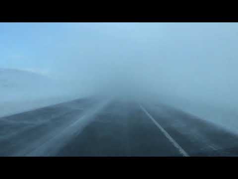
Whiteout conditions caused by blowing snow on U.S.┬Ā395 near Convict Lake, Calif., Monday afternoon. (Brian van der Brug / Los Angeles Times)
ŌĆ£We havenŌĆÖt seen an event of this magnitude in at least a decade,ŌĆØ state climatologist Mike Anderson said.
The storms over the weekend were relatively warm, meaning snow fell only at high elevations. Some of that snow melted fairly quickly, creating raging rivers ŌĆö and flooding ŌĆö across the region.
But the latest storm will be colder, allowing more of the snow to stick. ThatŌĆÖs good news for the stateŌĆÖs water-collection system, which relies on snow remaining in the Sierra Nevada into the spring.
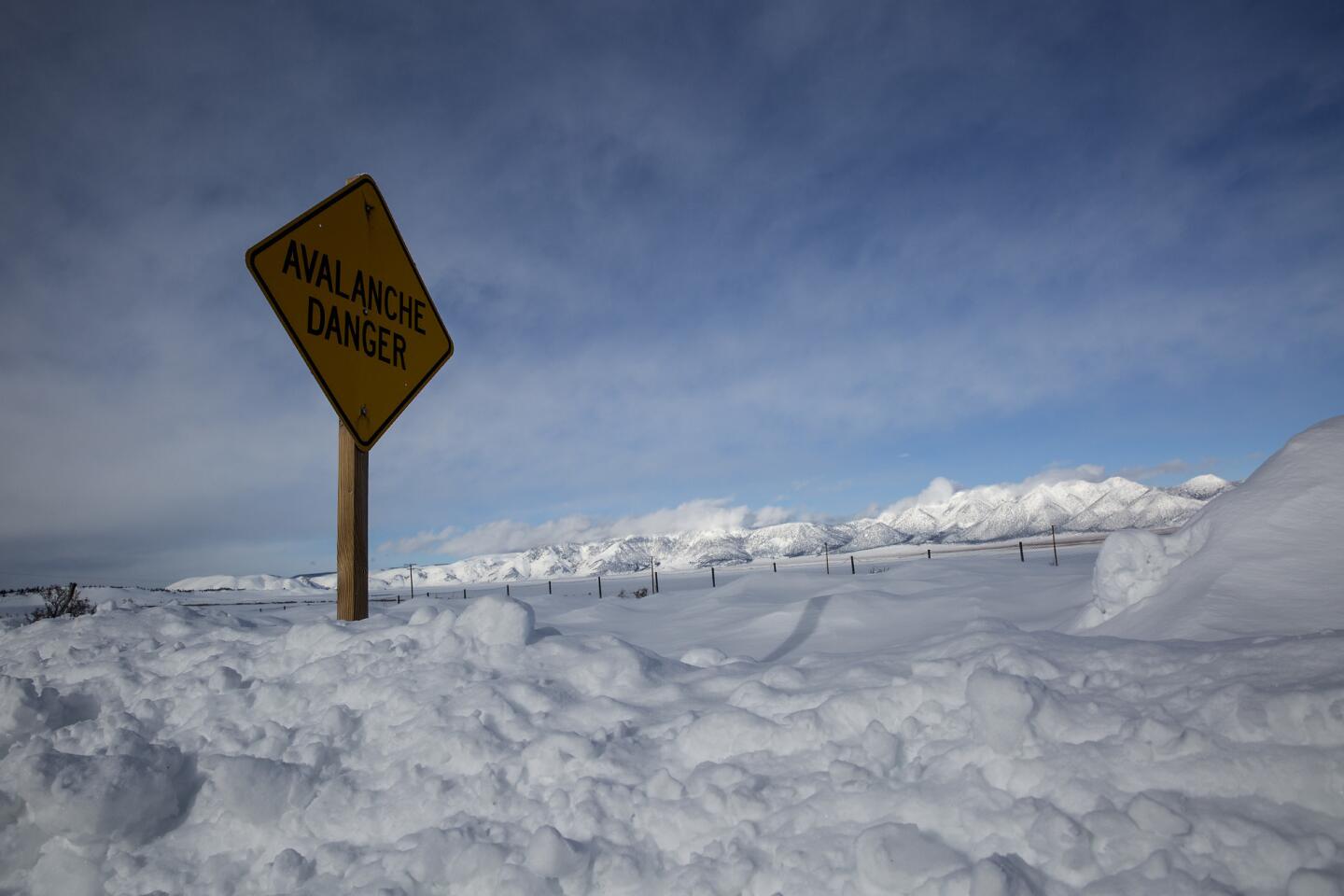
The colder storms bring with them the threat of blizzard and whiteout conditions, as well as avalanches. The NWS issued a blizzard warning Tuesday, and heavy snow closed Interstate 80 and U.S. 395.
Forecasters warned of wind gusts topping 150 mph, drifting snow and zero visibility at high elevations.
There also were fears of more flooding, with new warnings issued for the Napa and Russian rivers.
ŌĆ£ItŌĆÖs not over yet,ŌĆØ said Alex Hoon, a meteorologist in the National Weather ServiceŌĆÖs Reno station.
Many Northern California communities are still reeling from rainfall that left tens of thousands of households without power, cut off main transportation arteries, stranded motorists and felled trees, including a giant sequoia that served as a tunnel in Calaveras County.
Residents along the Napa River in St. Helena have been warned the river could flood by Tuesday afternoon, washing out crops and eroding land.
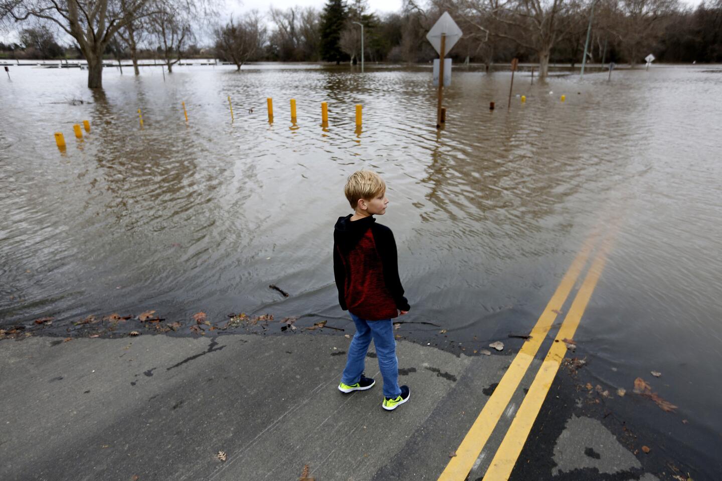
In the Sacramento Valley, rain and melting snow continue to fill the Sacramento river, and forecasters warn that the waterway will flood a county park by Tuesday afternoon. Water levels are expected to begin receding by early Wednesday.
The risk and timing of flooding along state rivers is a matter of topography.
A relatively narrow waterway like the Russian River, which snakes between steep mountains and hillsides that shed rainfall quickly, poses a greater risk of immediate flooding, according to Anderson, the state climatologist. Forecasters anticipate that the Russian River likely will flood again Wednesday, affecting hundreds of residents in Guerneville.
The Sacramento River, however ŌĆö which is bigger and draws water from forests up to 100 miles away ŌĆö rises more slowly in times of heavy rain.
ŌĆ£It takes three days for water from Shasta to get down to Sacramento,ŌĆØ Anderson said. ŌĆ£So even after we get past the storm, we want to manage the flood space because itŌĆÖs going to take a few days for it to get through the system.ŌĆØ
Workers have been monitoring the stateŌĆÖs rivers around the clock since the weekend and will continue to do so until possibly Friday, said Doug Carlson, a spokesman for the state Department of Water Resources.
ŌĆ£WeŌĆÖre not going to take our foot off the pedal here,ŌĆØ he said.
The Union Pacific Railroad at Norden was washed out by rain Sunday night, cutting off Amtrak passenger and freight trains into and out of California. A Union Pacific spokesman said the railroad expected to have the line reopened by Monday evening.
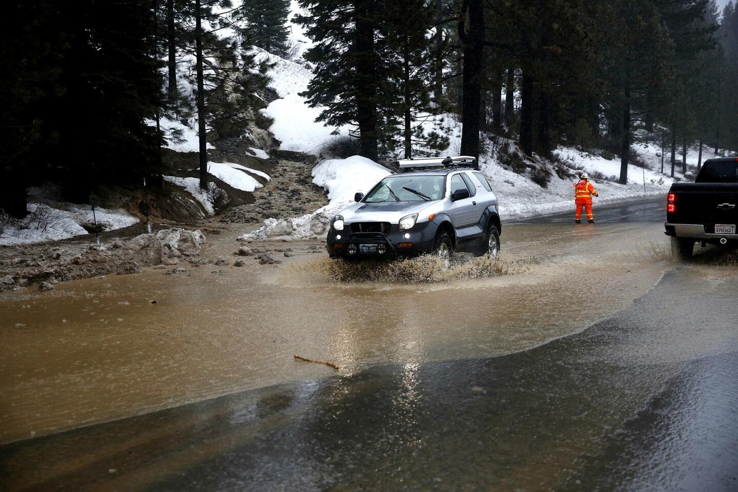
Interstate 80 reopened Monday morning heading east, but westbound drivers attempting to enter California were stopped at the border. Those who could show they had business in Truckee were allowed through, but for the rest, the remnants of a giant mudslide from Sunday evening kept the road closed.
Heavy-machinery operators had made progress overnight, said California Highway Patrol Officer Peter Mann, but water cascading off the Donner Summit slope was the next problem.
ŌĆ£We have a river on the interstate,ŌĆØ Mann said.
Other key highways including Interstate 280, U.S. 395 and U.S. 101 were closed for periods because of hazardous conditions, such as mudslides.
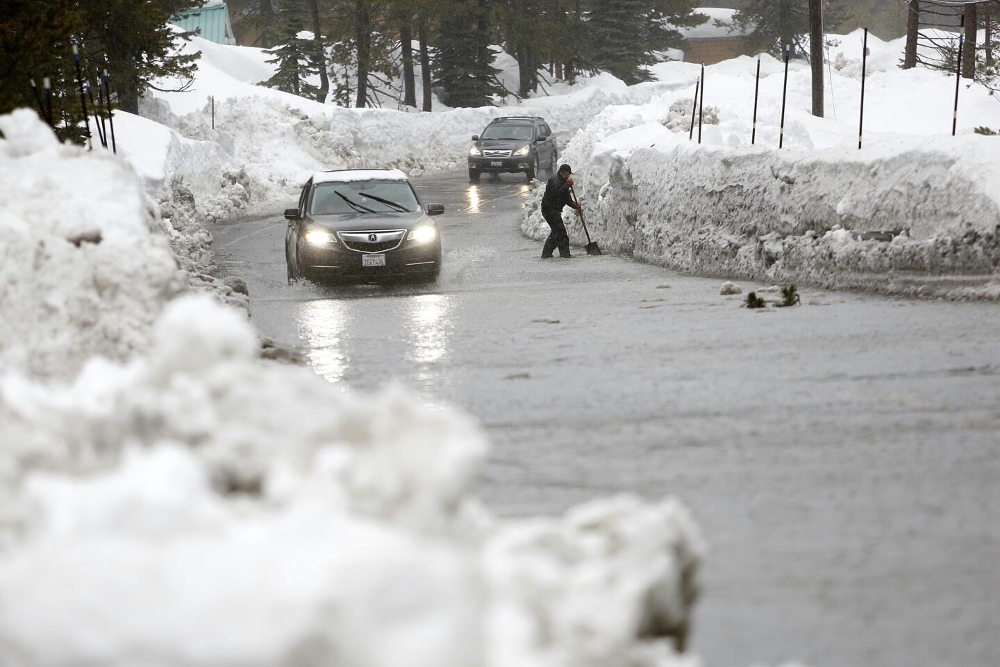
Residents in the ski town of Mammoth Lakes spent the weekend rushing to fill sandbags to protect their homes amid gusty winds, thunder and lightning. Still, the slush that filled their streets seeped into their homes and garages.
Sonoma County officials issued voluntary evacuation orders to hundreds of households near swollen rivers. Picnic tables on campgrounds were submerged after the Truckee River overflowed.
Ten homes in the Carmel Valley were flooded late Sunday after a river swelled from the heavy rain, authorities said.
In Nevada, Gov. Brian Sandoval declared a state of emergency.
1/67
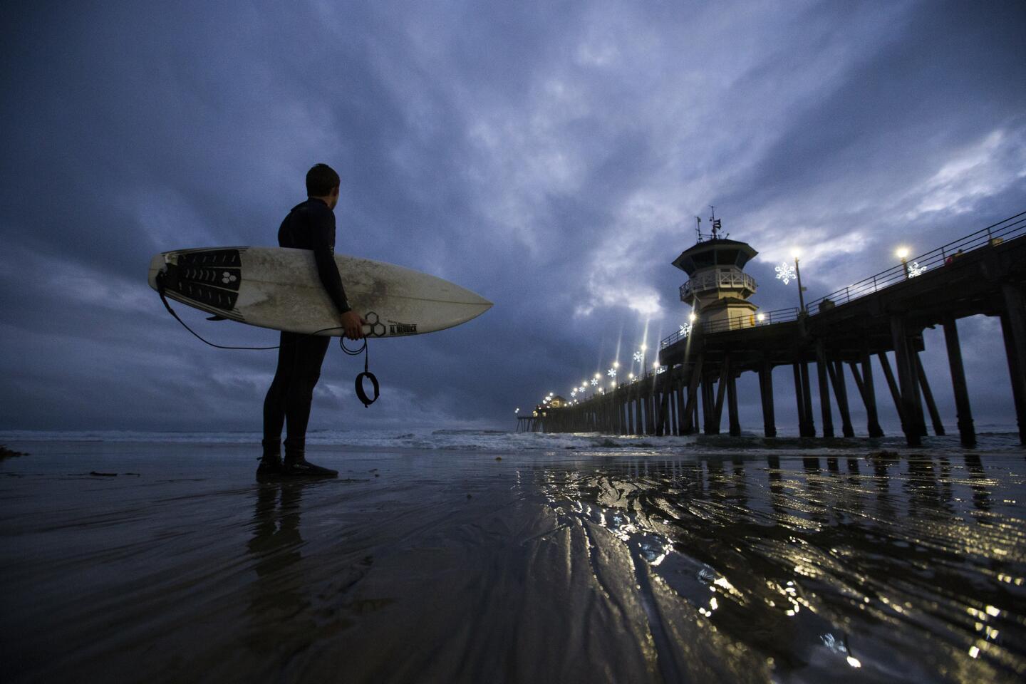
Surfer and Huntington Beach lifeguard Jachin Hamborg watches the dramatic sky and waves after surfing following his lifeguarding shift at dusk at the Huntington Beach pier.
(Allen J. Schaben / Los Angeles Times) 2/67
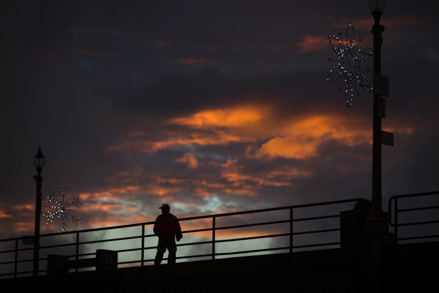
A man is silhouetted against a dramatic sky at sunset while walking on the Huntington Beach pier.
(Allen J. Schaben / Los Angeles Times) 3/67
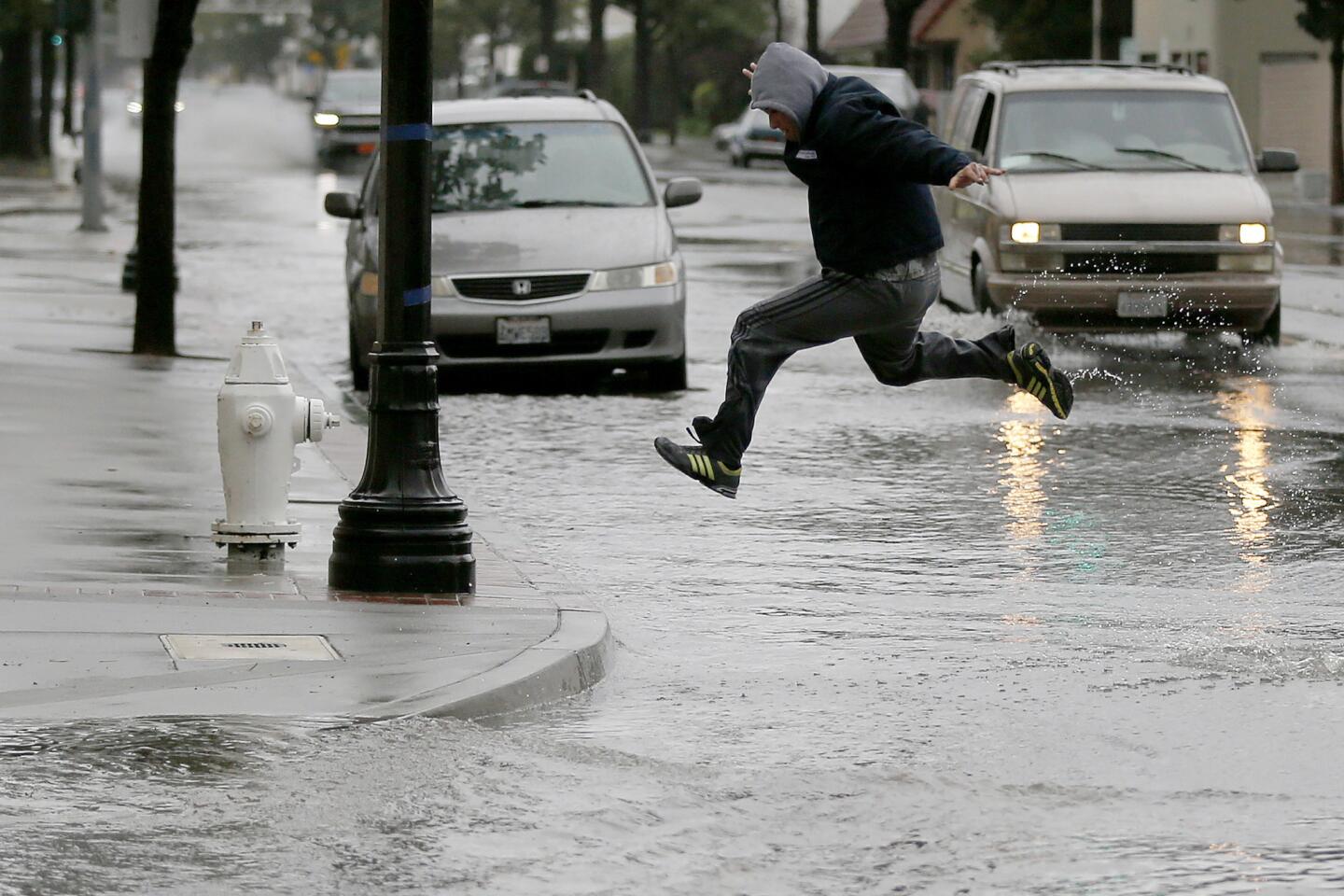
A pedestrian takes to flight crossing 4th Street in Santa Ana after heavy rain flooded the area.
(Allen J. Schaben / Los Angeles Times) 4/67
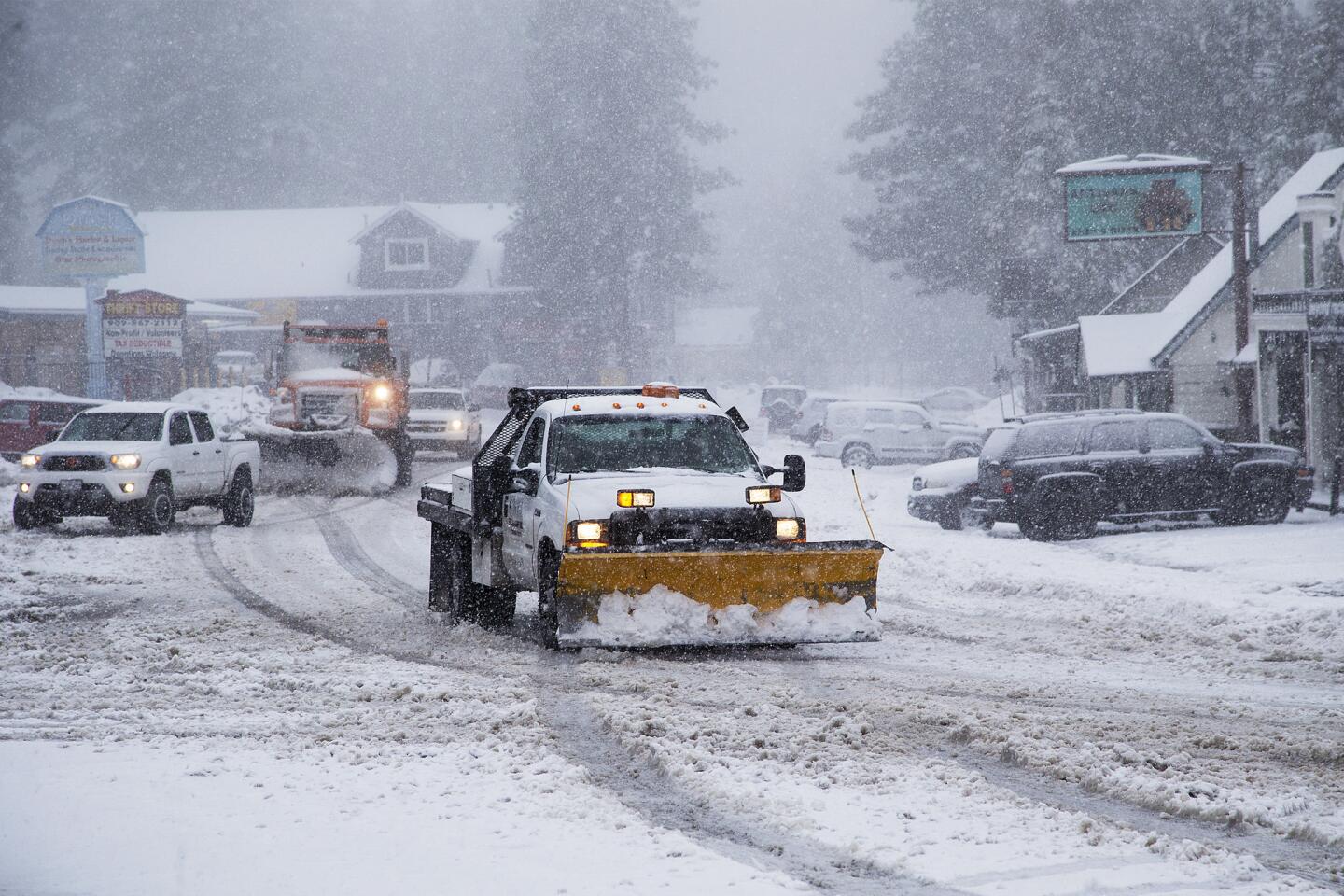
Snowplows clear Highway 18 during a storm on Jan. 12, 2017, in Running Springs.
(Gina Ferazzi / Los Angeles Times) 5/67
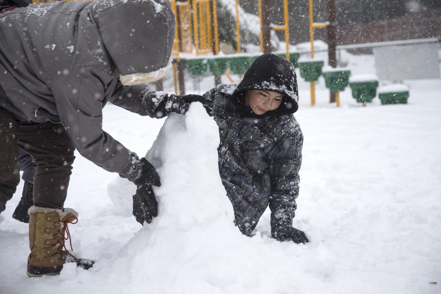
Jessica Pompa and Albert Arroyo make a snowman at Firehouse Park in Running Springs.
(Gina Ferazzi / Los Angeles Times) 6/67
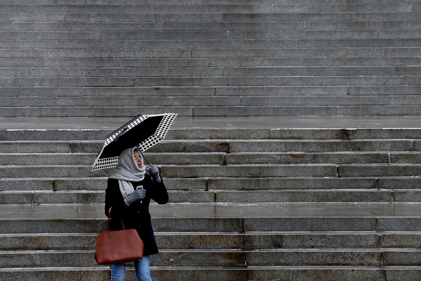
Michelle Graves keeps an eye on the sky as she waits to cross Spring Street in downtown Los Angeles.
(Luis Sinco / Los Angeles Times) 7/67
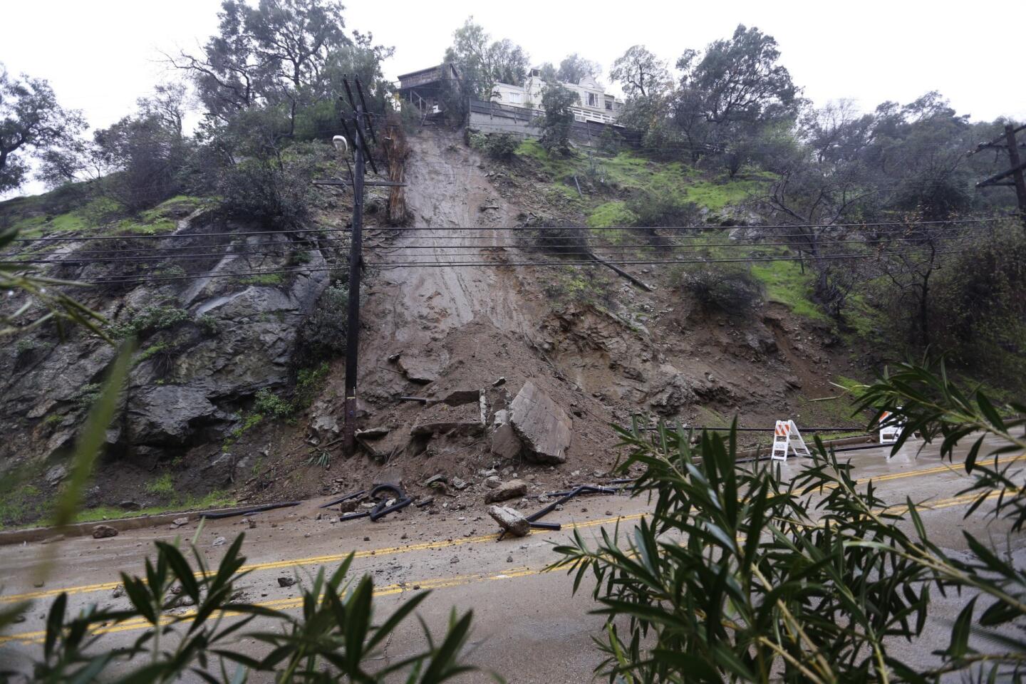
Laurel Canyon Boulevard remained closed in both directions Thursday morning in the Hollywood Hills after part of a homeŌĆÖs concrete foundation tumbled down a hillside after a round of rainfall.
(Al Seib / Los Angeles Times) 8/67
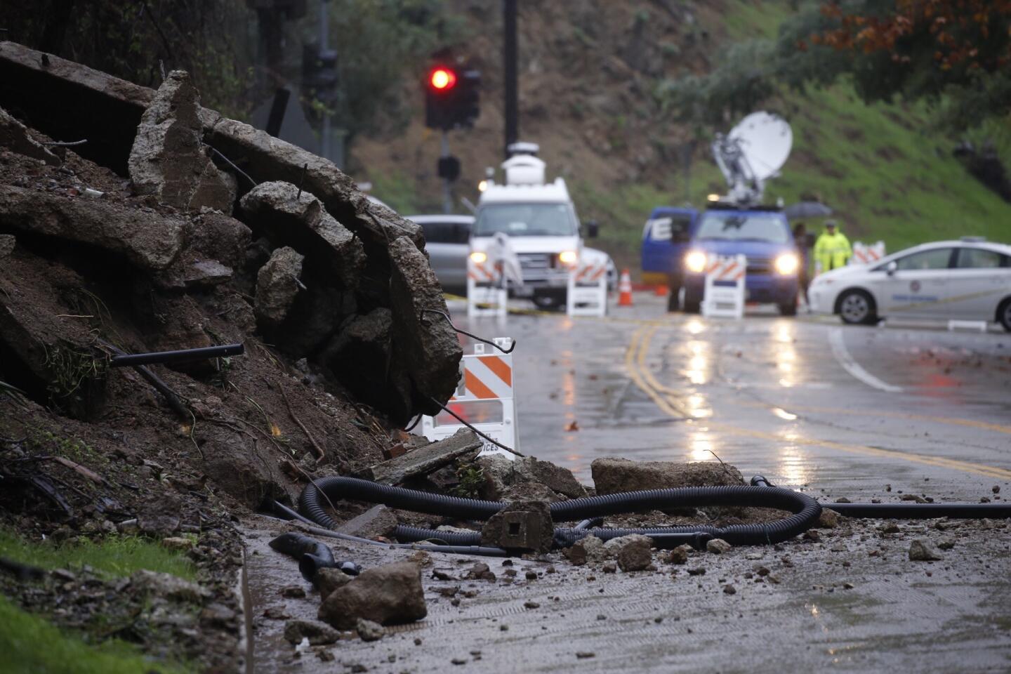
News crews gather on Laurel Canyon Blvd, which remained closed in both directions Thursday morning in the Hollywood Hills when part of a homeŌĆÖs concrete foundation tumbled down a hillside after a round of rainfall.
(Al Seib / Los Angeles Times) 9/67
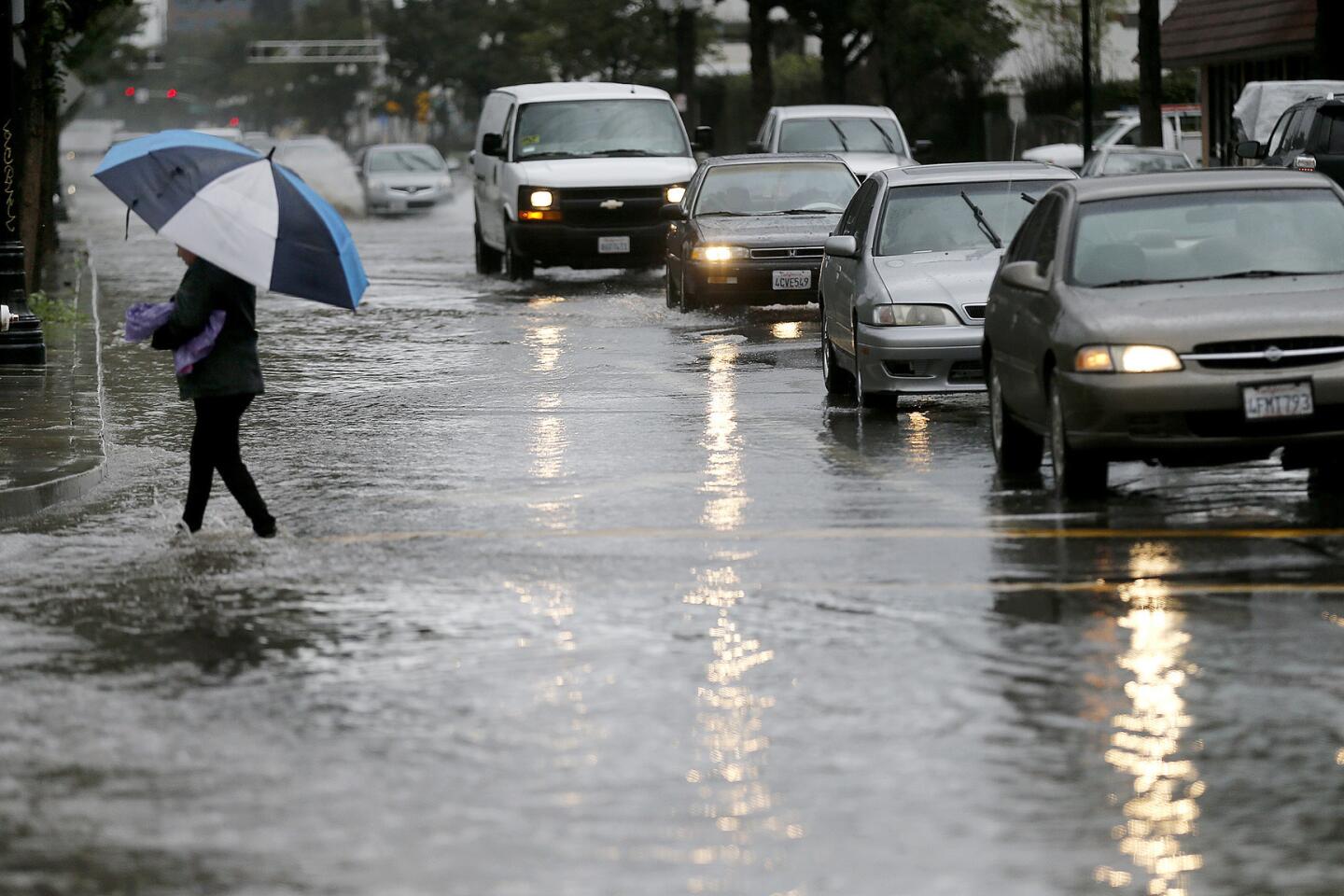
A pedestrian wades through a flooded 4th Street in Santa Ana.
(Allen J. Schaben / Los Angeles Times) 10/67
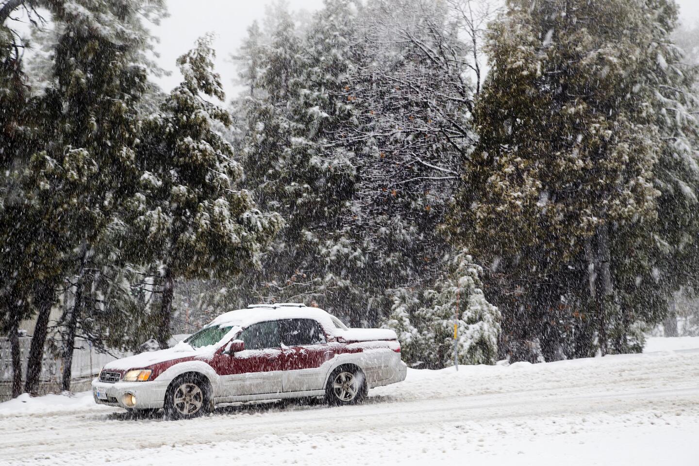
Traffic moved slowly on a snowy Highway 18 in the Running Springs area.
(Gina Ferazzi / Los Angeles Times) 11/67
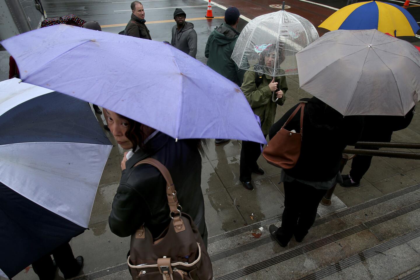
Members of a film crew shelter under umbrellas as the rain comes down in front of L.A. City Hall.
(Luis Sinco / Los Angeles Times) 12/67
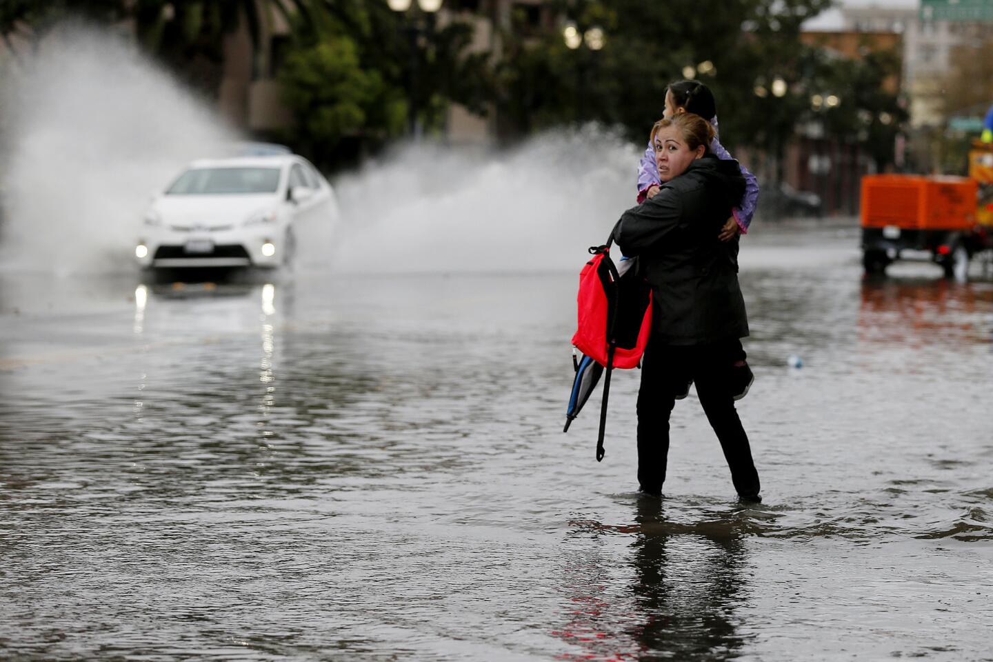
A pedestrian wades through a flooded 4th Street in Santa Ana carrying her daughter.
(Allen J. Schaben / Los Angeles Times) 13/67
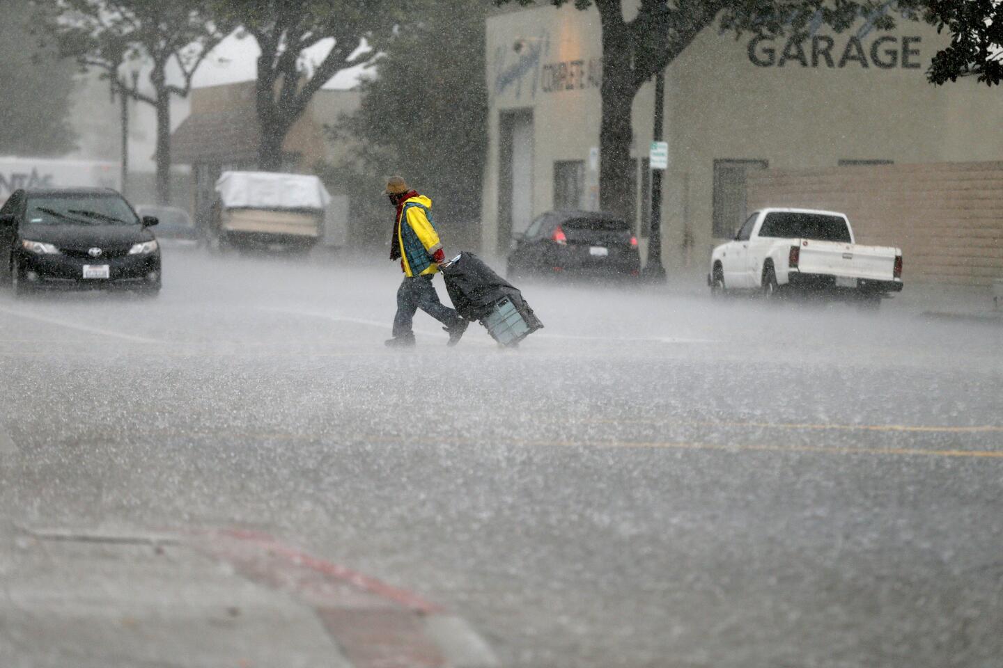
A man crossing the street gets caught in a heavy burst of rain on 4th Street in Santa Ana.
(Allen J. Schaben / Los Angeles Times) 14/67
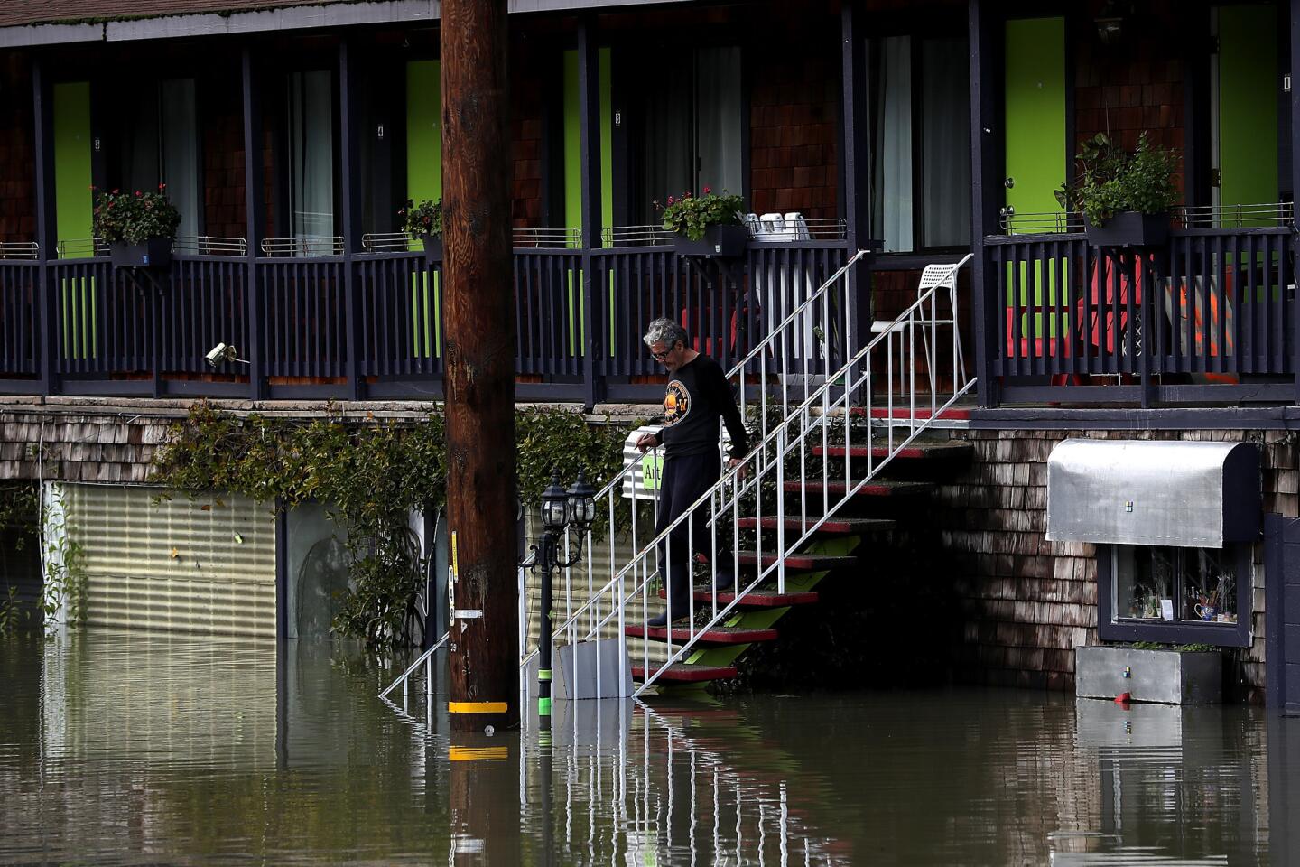
A Guernville resident walks down steps toward the foodwater surrounding his home.
(Justin Sullivan / Getty Images) 15/67
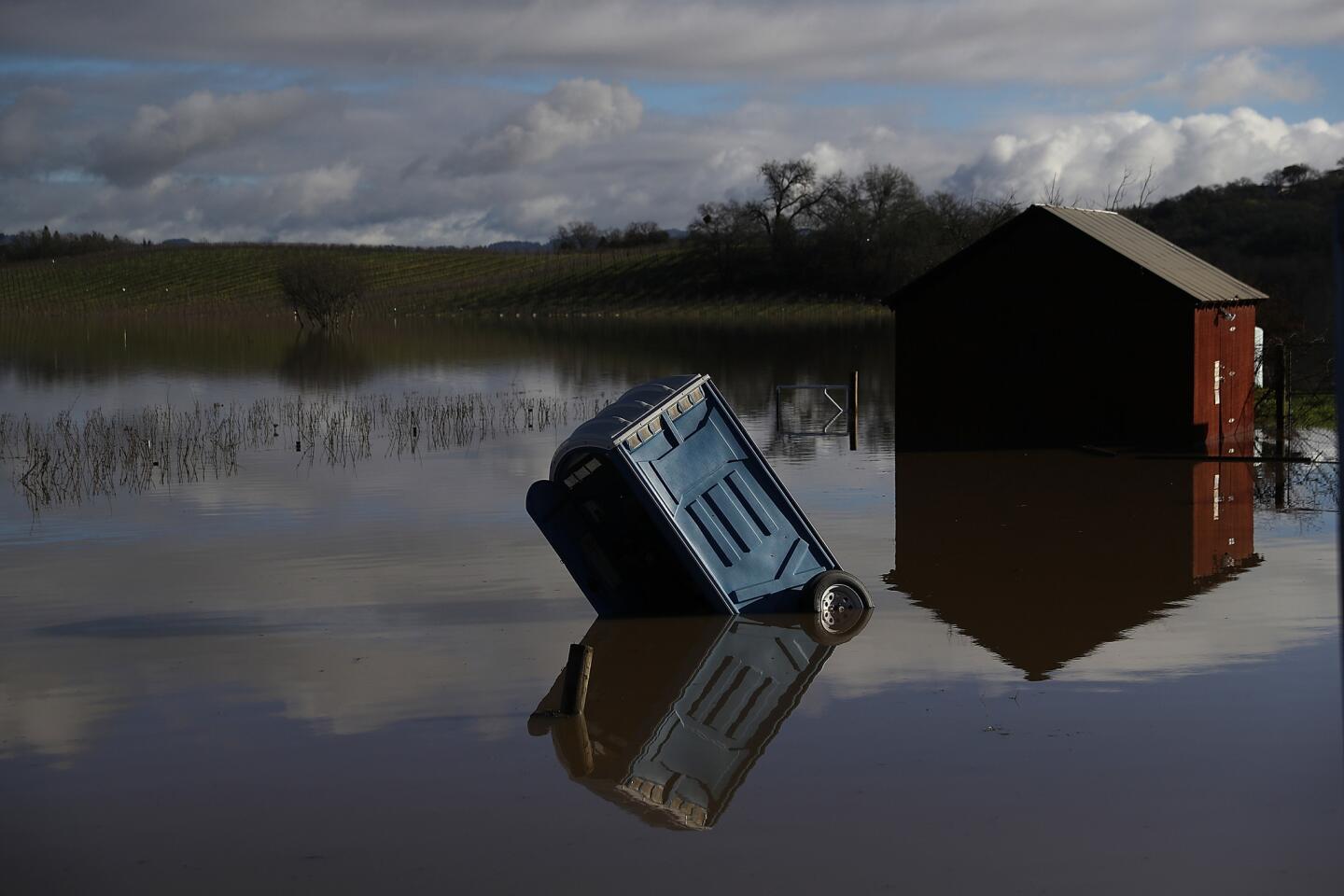
A portable toilet is submerged in floodwaters at a vineyard in Forestville. (Justin Sullivan / Getty Images)
16/67
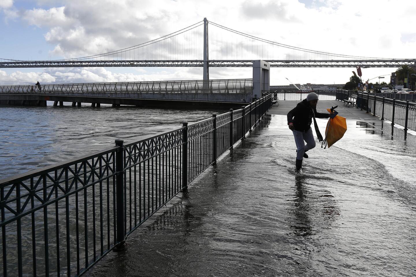
A woman walks through water from a king tide that flooded onto the Embarcadero in San Francisco on Wednesday.
(Jeff Chiu / Associated Press) 17/67
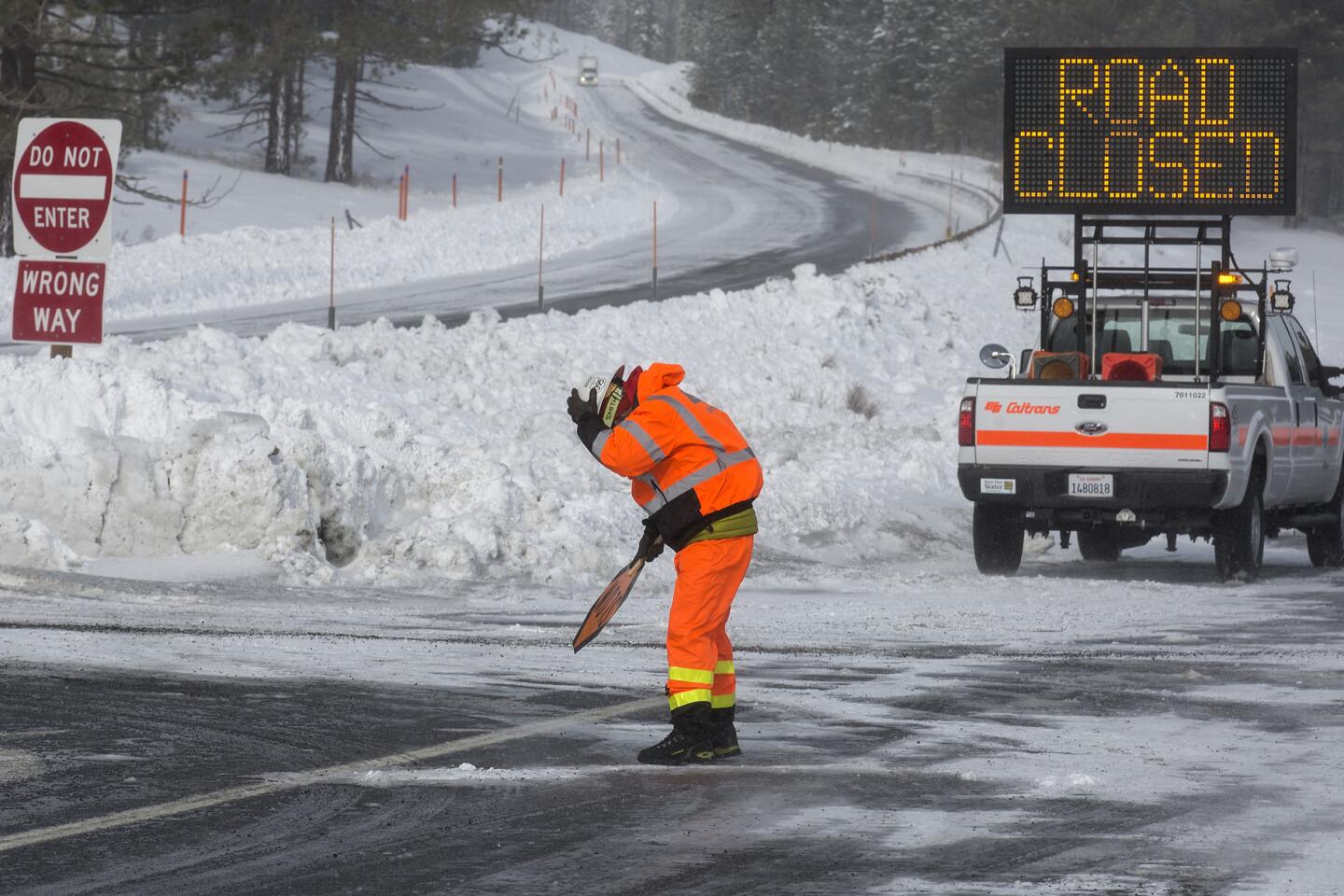
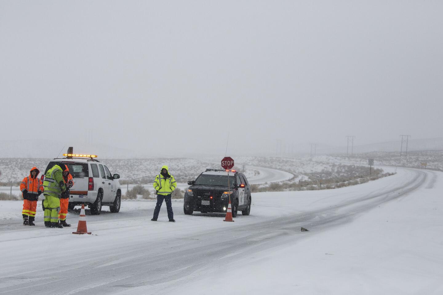
Caltrans worker Brad Larson is whipped by high winds on Tuesday as he mans a checkpoint closing all northbound traffic at U.S. 395 and State Route 203 near Mammoth Lakes.
(Brian van der Brug / Los Angeles Times) 18/67
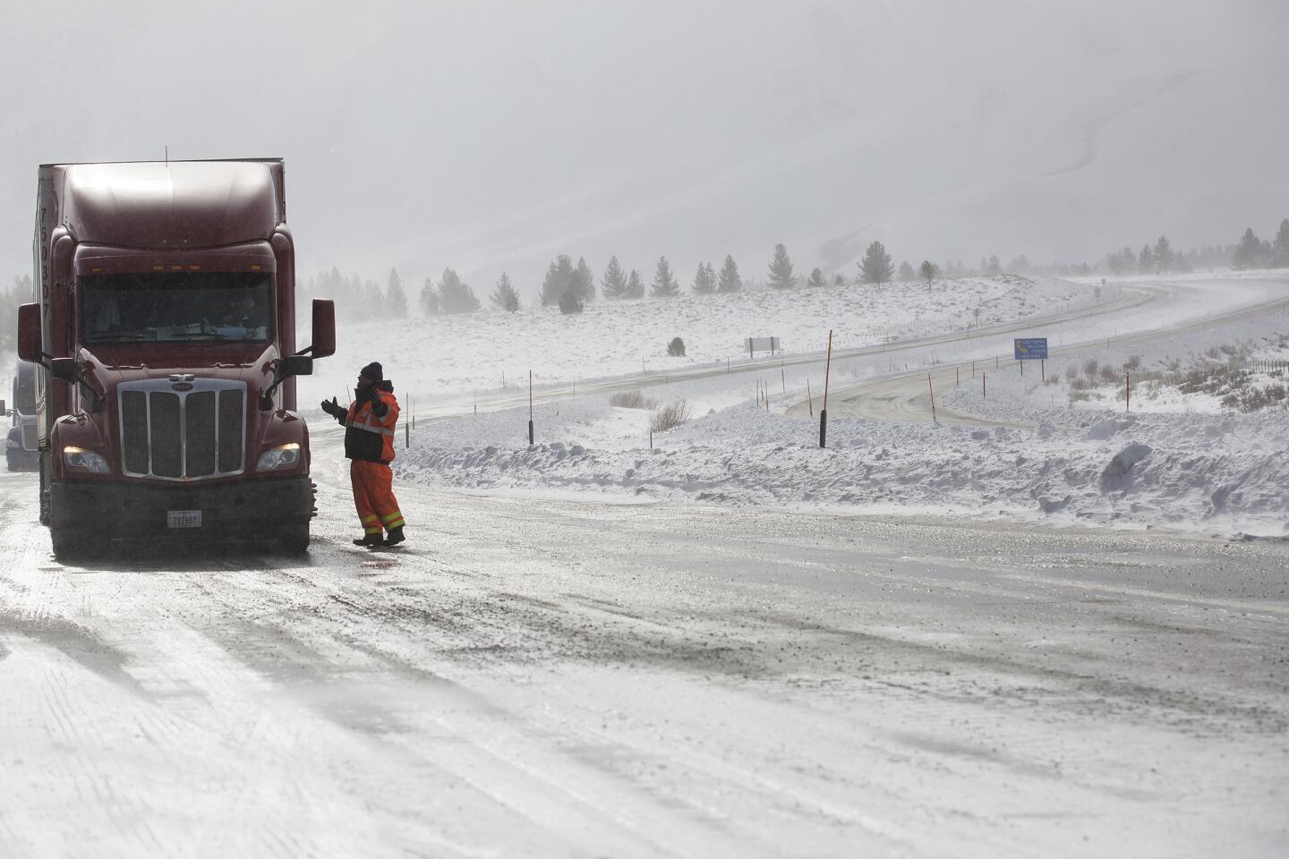
Caltrans worker Mark Reistetter tells a Reno-bound truck driver his options at a checkpoint closing all northbound traffic at U.S. 395 and State Route 203 near Mammoth Lakes.
(Brian van der Brug / Los Angeles Times) 19/67
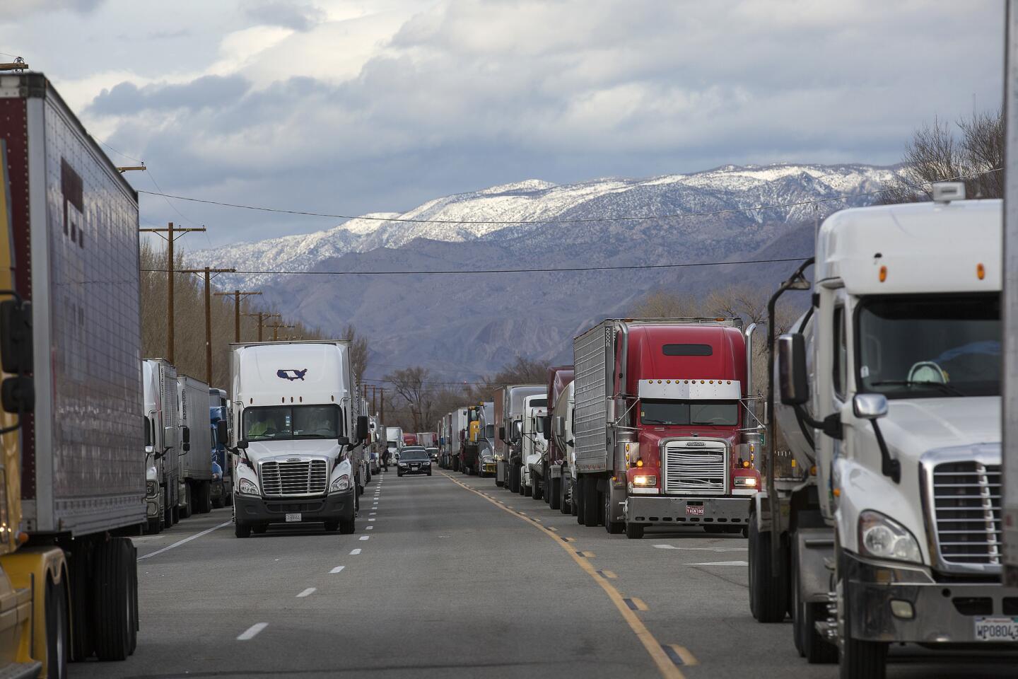
More than 100 trucks line Main Street in Lone Pine on Tuesday, stranded as U.S. 395 closed to high-profile vehicles in both directions because of high winds.
(Brian van der Brug / Los Angeles Times) 20/67
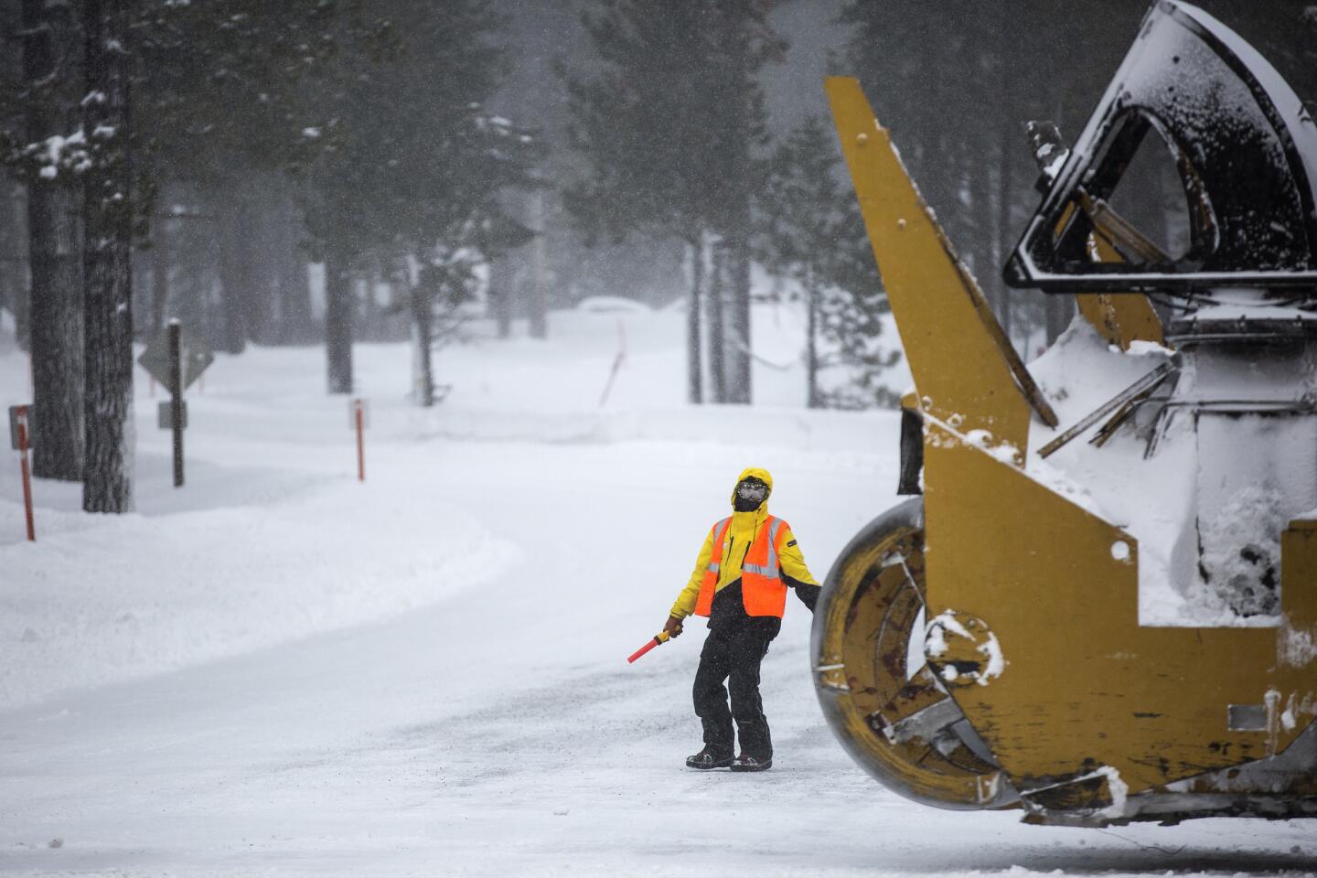
A Mammoth Mountain employee directing traffic is dwarfed by a snow removal vehicle on Minaret Road leading to the Mammoth Mountain ski area in Mammoth Lakes.
(Brian van der Brug / Los Angeles Times) 21/67
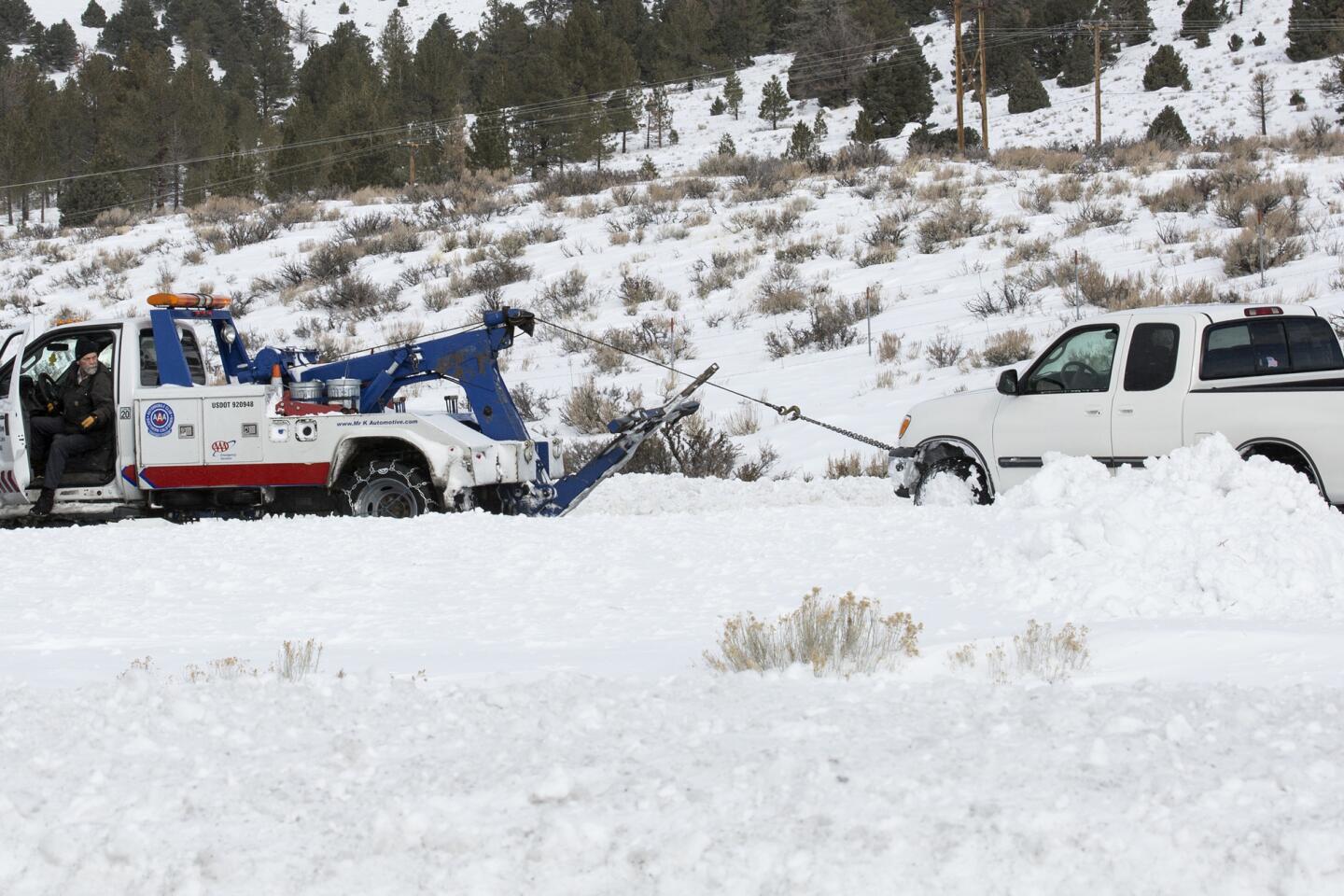
A tow truck driver pulls a pickup truck out of a snowbank in the median of U.S. 395 near Mammoth Lakes.
(Brian van der Brug / Los Angeles Times) 22/67
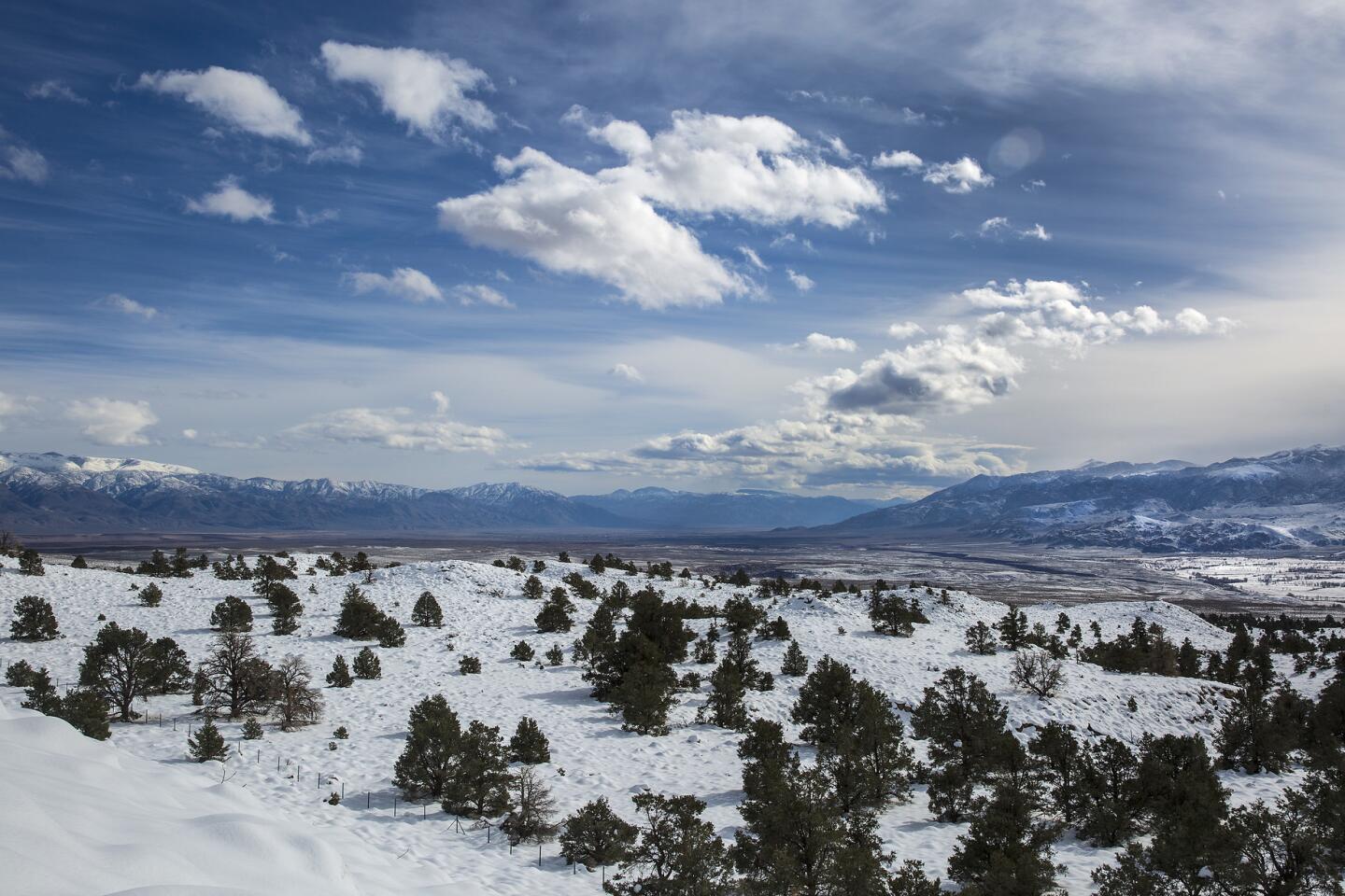
Clouds drift over the Owens Valley in a view from above Round Valley near Bishop.
(Brian van der Brug / Los Angeles Times) 23/67
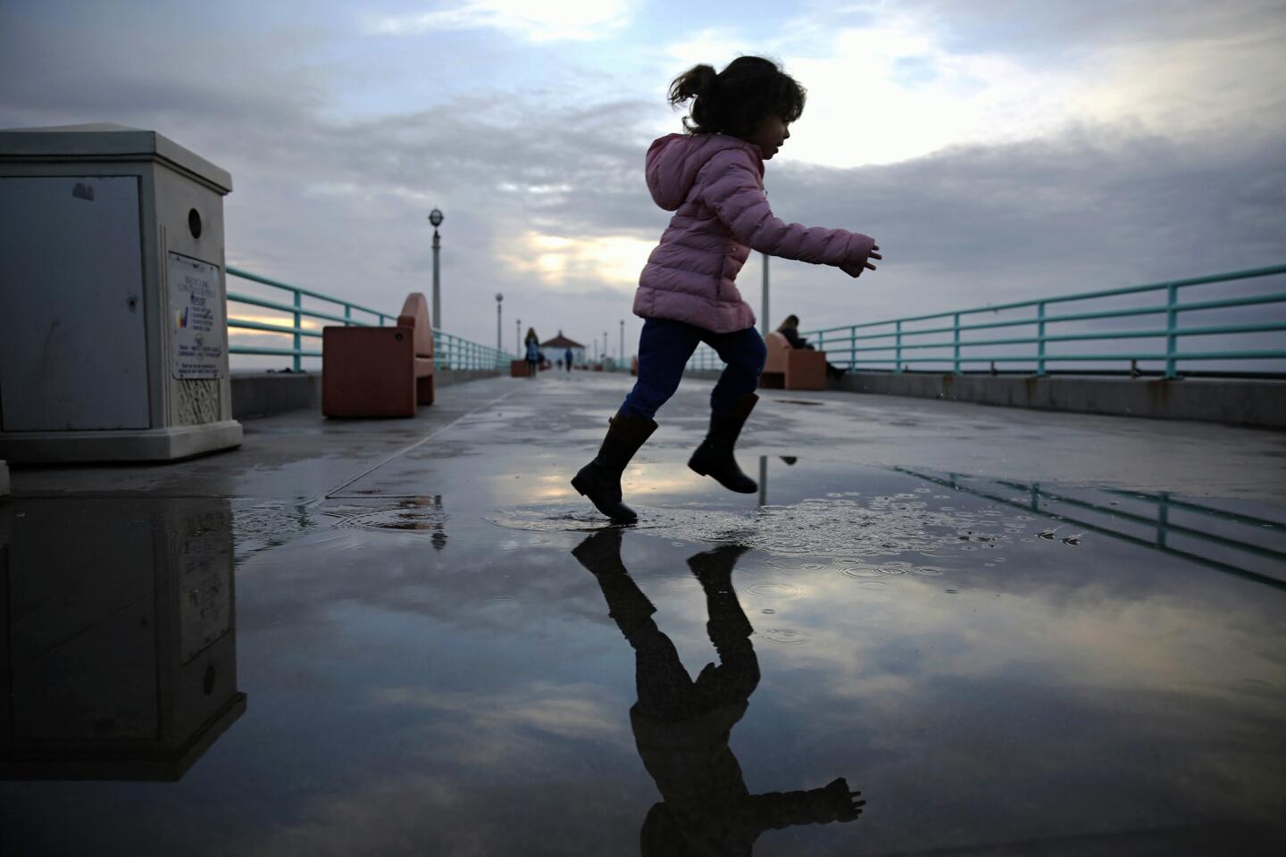
Emma Soriano jumps in a puddle on the Manhattan Beach Pier after posing for pictures for her dad.
(Jay L. Clendenin / Los Angeles Times) 24/67
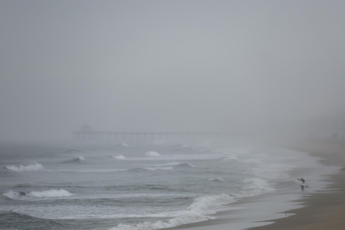
With the Manhattan Beach Pier in the distance, surfers scan the waves of Hermosa Beach.
(Jay L. Clendenin / Los Angeles Times) 25/67
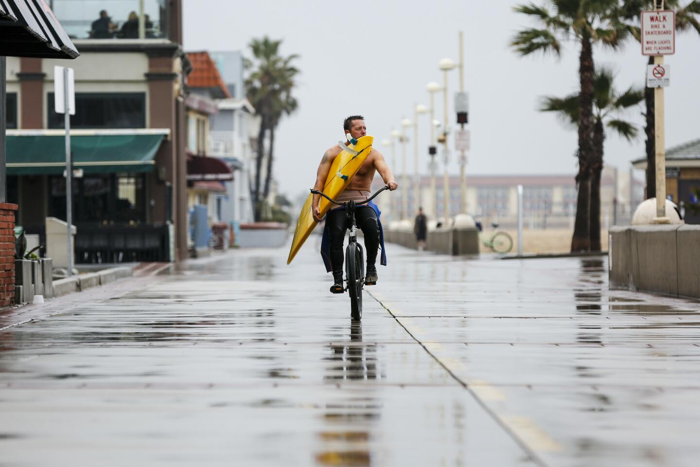
Morgan Harris of Hermosa Beach rides home along The Strand after a couple of hours of surfing south of Hermosa Beach.
(Jay L. Clendenin / Los Angeles Times) 26/67
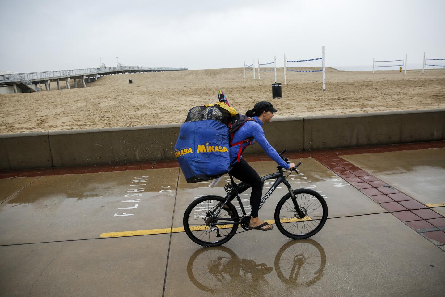
A biker at Hermosa Beach, where people were dealing with a lingering rainstorm.
(Jay L. Clendenin / Los Angeles Times) 27/67
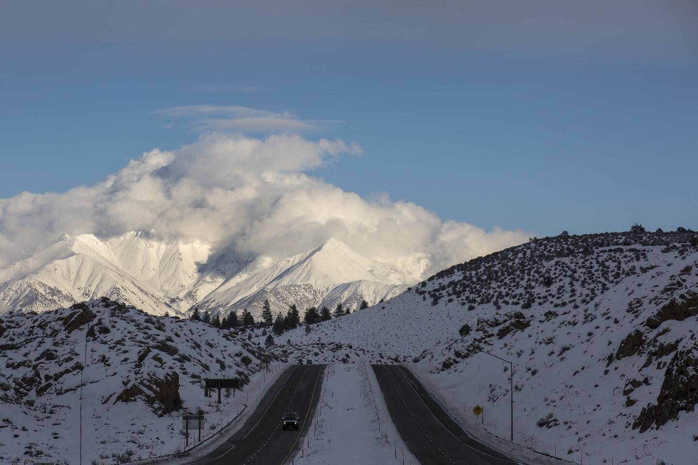
A break in a series of storms moving across California highlights the snow-covered White Mountains looming over U.S. Highway 395 in Crowley Lake.
(Brian van der Brug / Los Angeles Times) 28/67
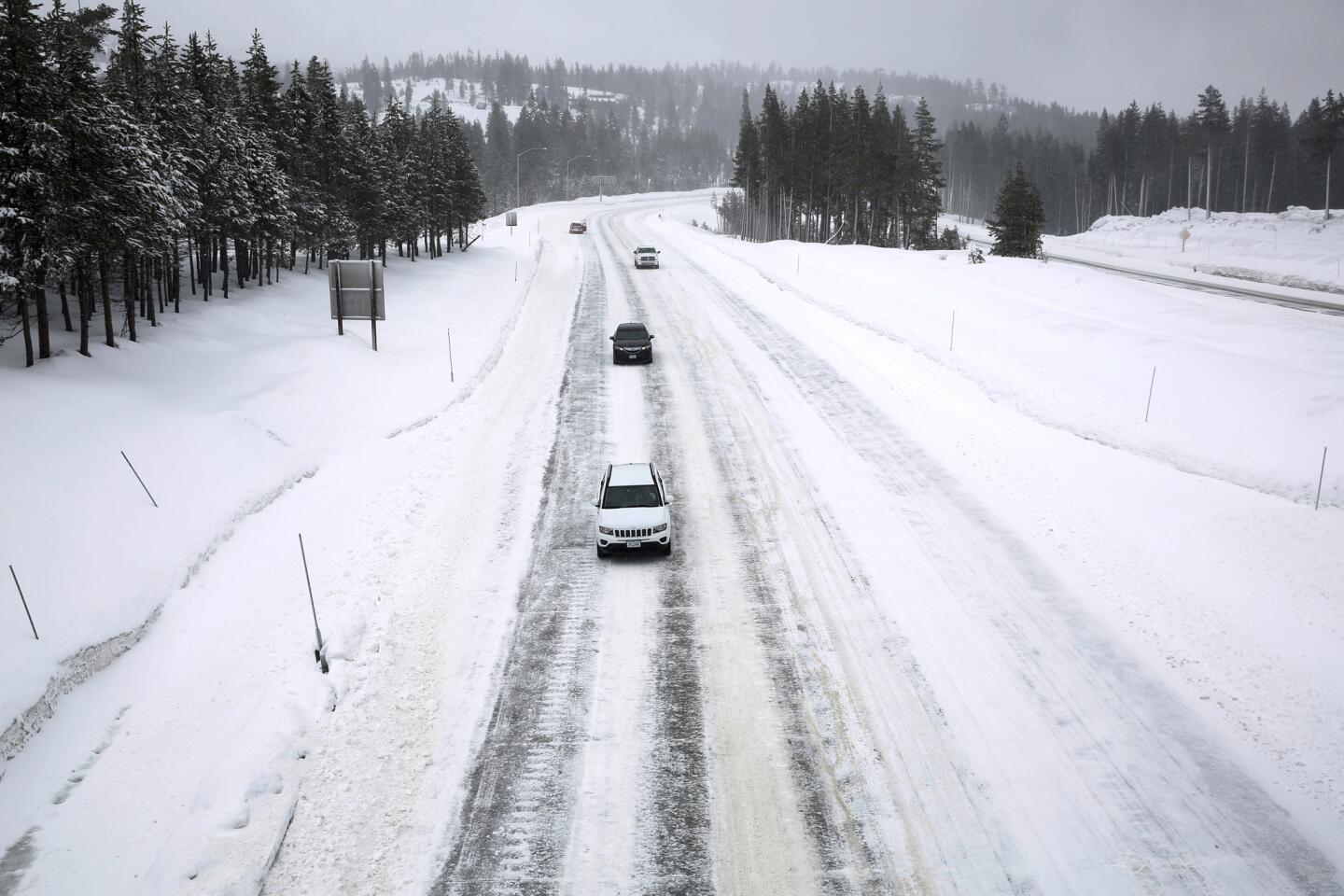
Traffic moves slowly at the Donner Pass Road exit on snowy Interstate 80 in Soda Springs.
(Gary Coronado / Los Angeles Times) 29/67
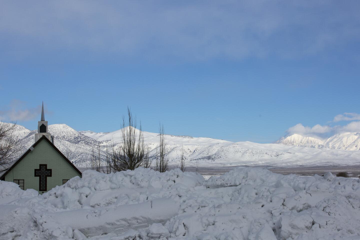
The Green Church, a beloved landmark along U.S. 395, is partly obscured by snow during a break in a series of storms in the Eastern Sierra Nevada near Mammoth Lakes.
(Brian van der Brug / Los Angeles Times) 30/67
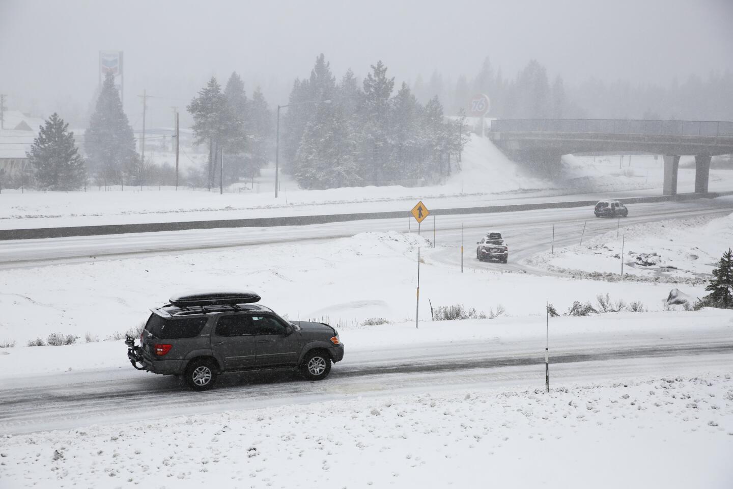
Snow falls along Interstate 80 at Exit 184 in Truckee.
(Gary Coronado / Los Angeles Times) 31/67
A break in a series of storms in the Eastern Sierra Nevada highlights the snow-covered White Mountains near Convict Lake.
(Brian van der Brug / Los Angeles Times) 32/67
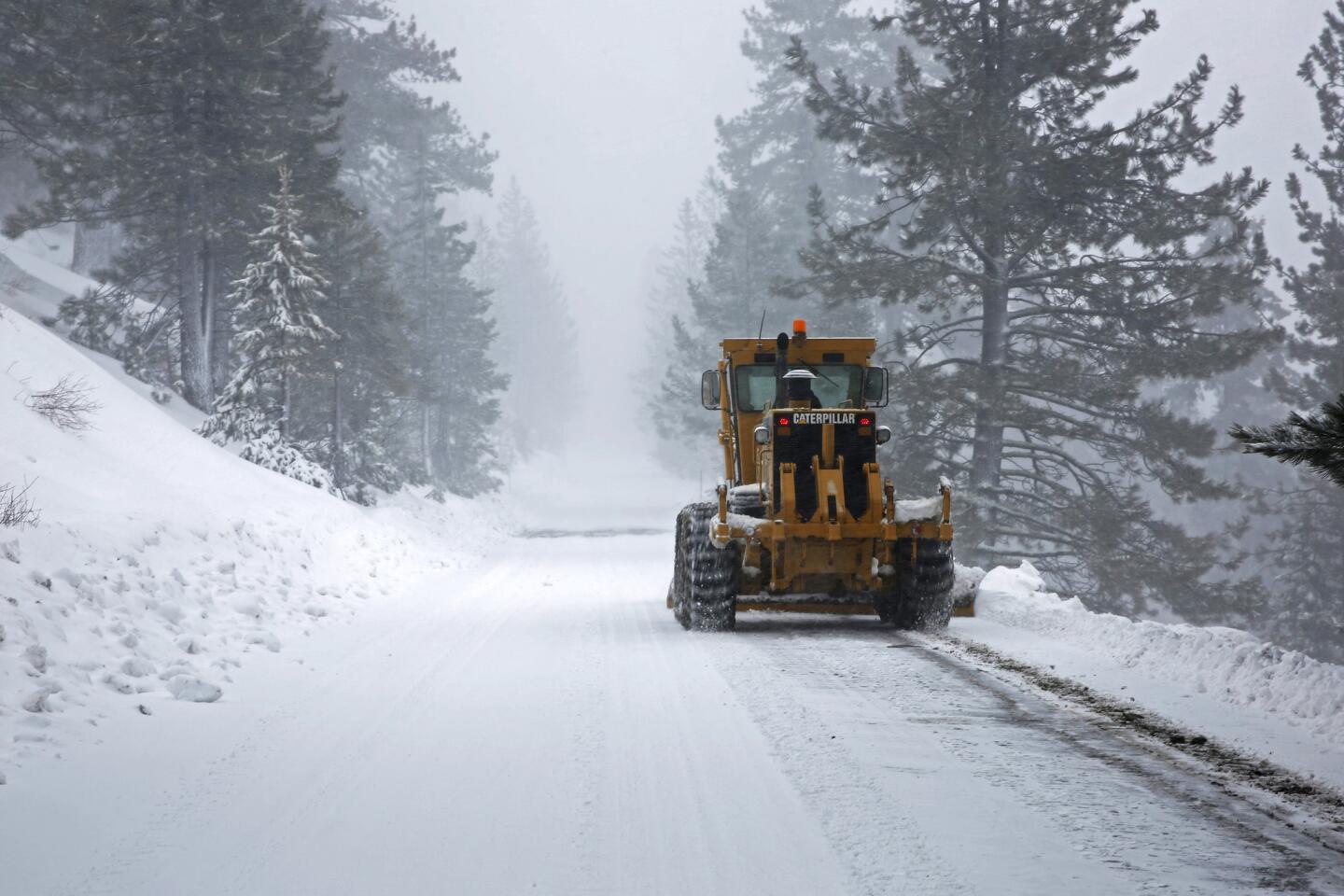
A plow removes freshly fallen snow along Donner Pass Road in Soda Springs, Calif.
(Gary Coronado / Los Angeles Times) 33/67
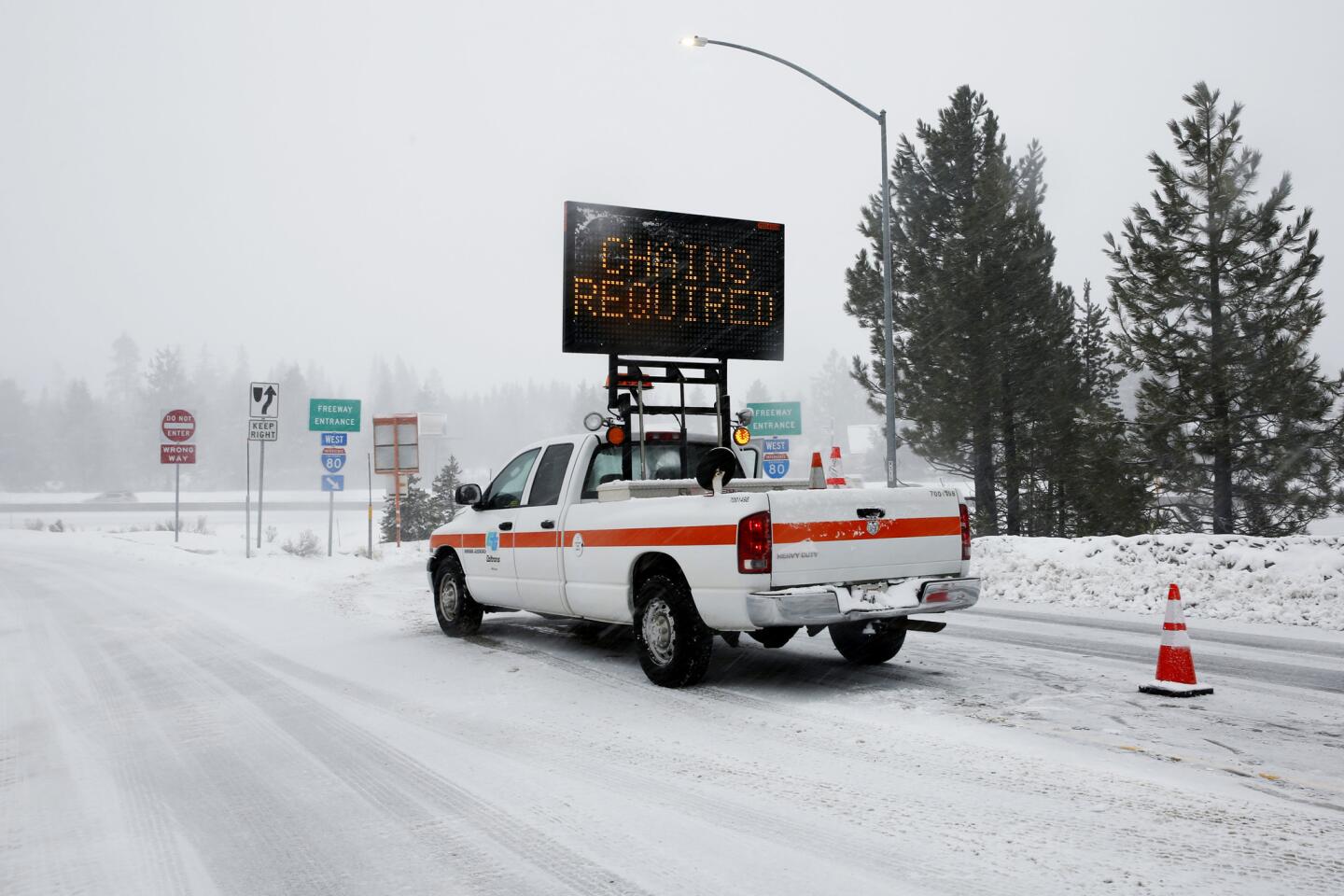
On a snowy day, a sign makes it clear that chains are required on this stretch of Interstate 80 in Truckee.
(Gary Coronado / Los Angeles Times) 34/67
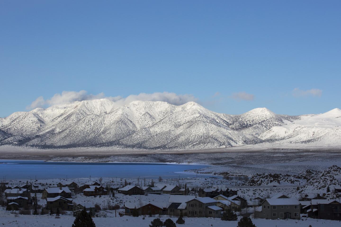
Snow-covered mountains provide a dramatic backdrop for Crowley Lake. (Brian van der Brug / Los Angeles Times)
35/67
Jack Ryan and his family came out to see firsthand water cresting the south bank of the American River, flooding American River Parkway in SacramentoŌĆÖs Discovery Park.
(Gary Coronado / Los Angeles Times) 36/67
Folsom Lake continues to rise as the Folsom reservoir releases water into the American River.
(Gary Coronado / Los Angeles Times) 37/67
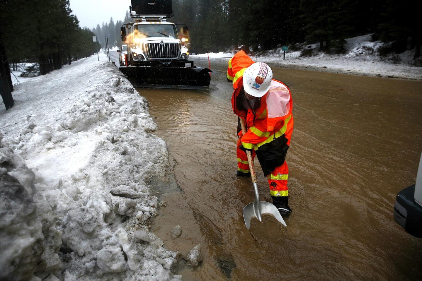
Caltrans worker Wendy Payne clears debris after heavy rains caused flooding along Highway 89 near Truckee. (Gary Coronado / Los Angeles Times)
38/67
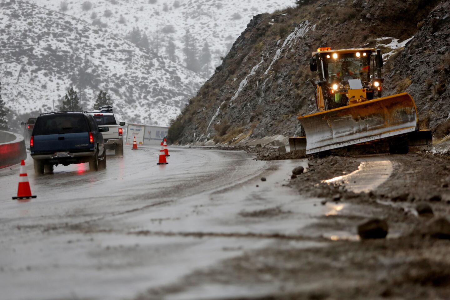
Traffic is backed up while CalTrans removes falling rocks and mud which closed one westbound lane along Interstate 80 east of Truckee, near Floriston, Calif.
(Gary Coronado / Los Angeles Times) 39/67
Wendy Payne of CalTrans clears debris along Highway 89 near Truckee.
(Gary Coronado / Los Angeles Times) 40/67
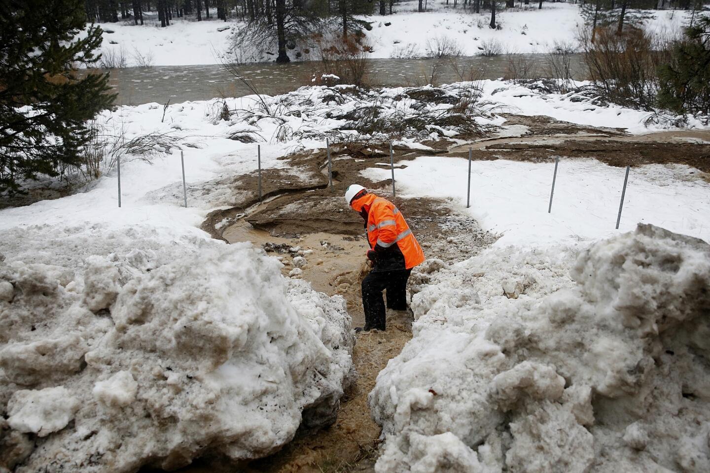
Christian Ochoa of CalTrans removes debris to allow water to flow into the Truckee River. (Gary Coronado / Los Angeles Times )
41/67
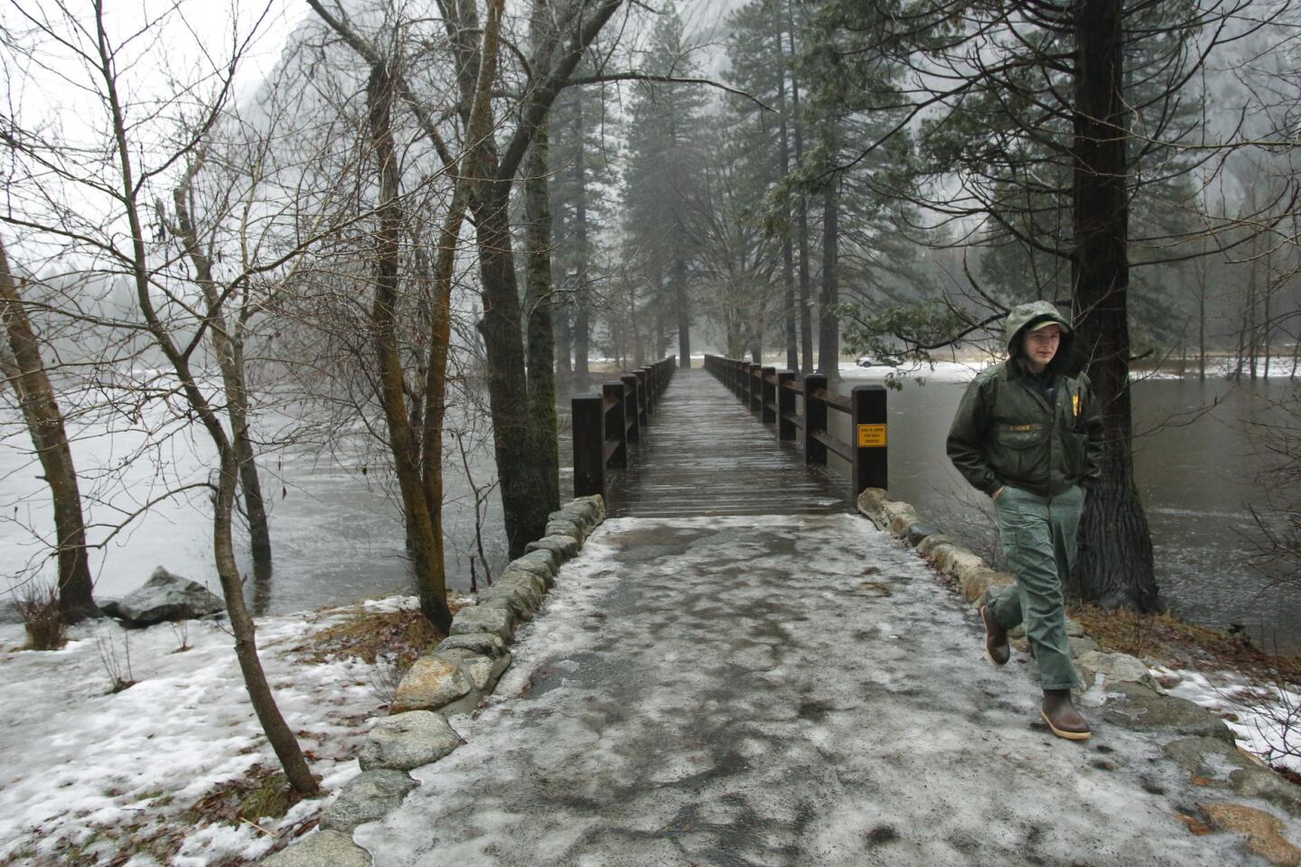
Park Ranger Cullen Tucker walks across a bridge during a rain storm on the Merced River in Yosemite National Park.
(Gary Kazanjian / Associated Press) 42/67
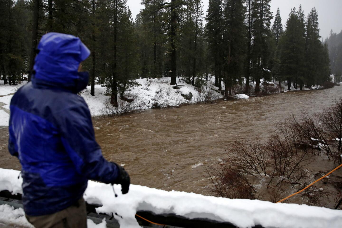
Resident June Barnard checks the level of the Truckee River at Bridge 11 along Highway 89. (Gary Coronado / Los Angeles Times)
43/67
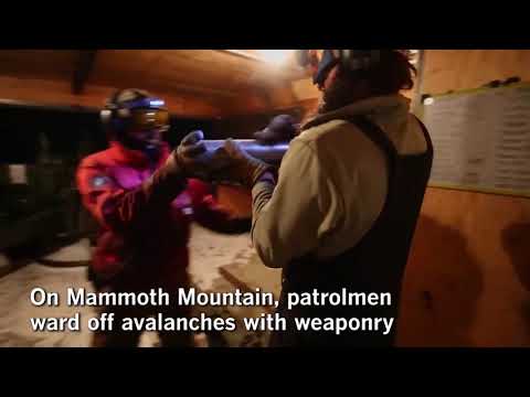
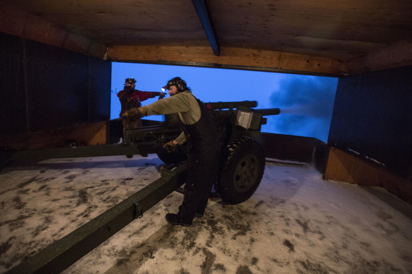
Mammoth Mountain ski patrolman Cliff Klock, left, and Forest Service member Jeff Karl fire a 105-millimeter howitzer on Sunday to mitigate avalanche paths at the top of the ski area in Mammoth Lakes, Calif.
(Brian van der Brug / Los Angeles Times) 44/67
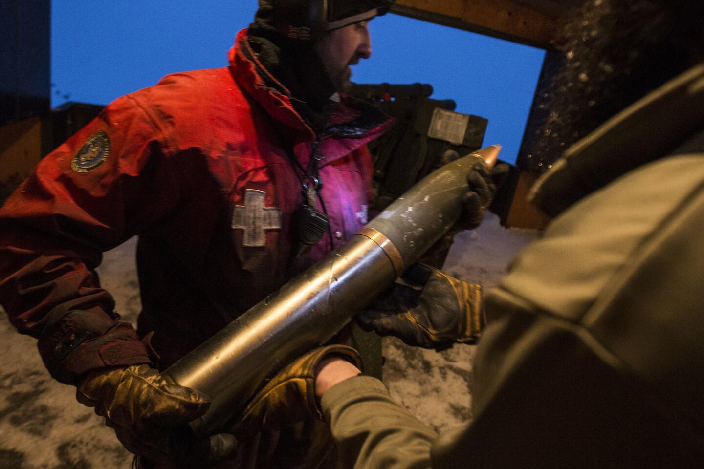
Mammoth Mountain ski patrolman Cliff Klock prepares to load a 105-millimeter shell into the breach of a 1943 howitzer.
(Brian van der Brug / Los Angeles Times) 45/67
Heavy rains and ice dams cause flooding along Donner Pass Road in high Sierra Nevada, Soda Springs, CA, Jan. 8, 2017. (Gary Coronado / Los Angeles Times) (Gary Coronado / Los Angeles Times)
46/67
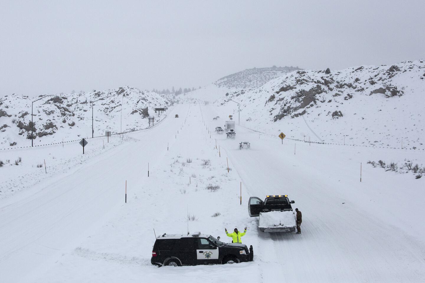
A CHP officer proclaims ŌĆ£aw man!ŌĆØ as he is photographed after becoming stuck in heavy snow in the median of US 395 near Crowley Lake as snow falls on the Eastern Sierra Nevada.
(Brian van der Brug / Los Angeles Times) 47/67
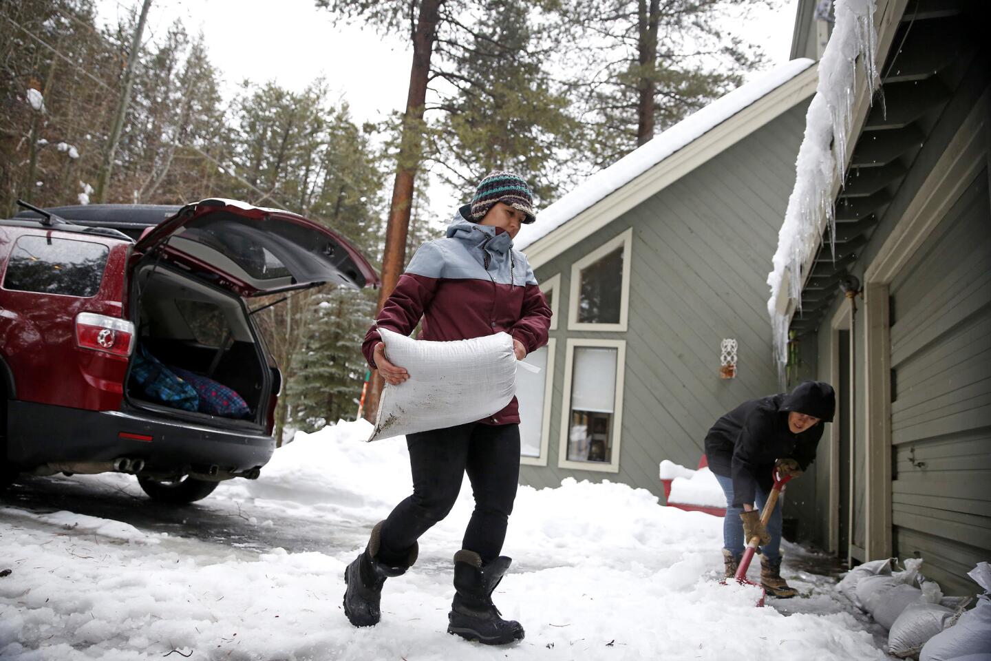
Monique Long hauls sandbags from her SUV to make a barrier to divert the rain and melting snow from flooding her garage, while her friend Jenna Shropshire, right, helps shovel snow, in Truckee, Calif.
(Gary Coronado / Los Angeles Times) 48/67
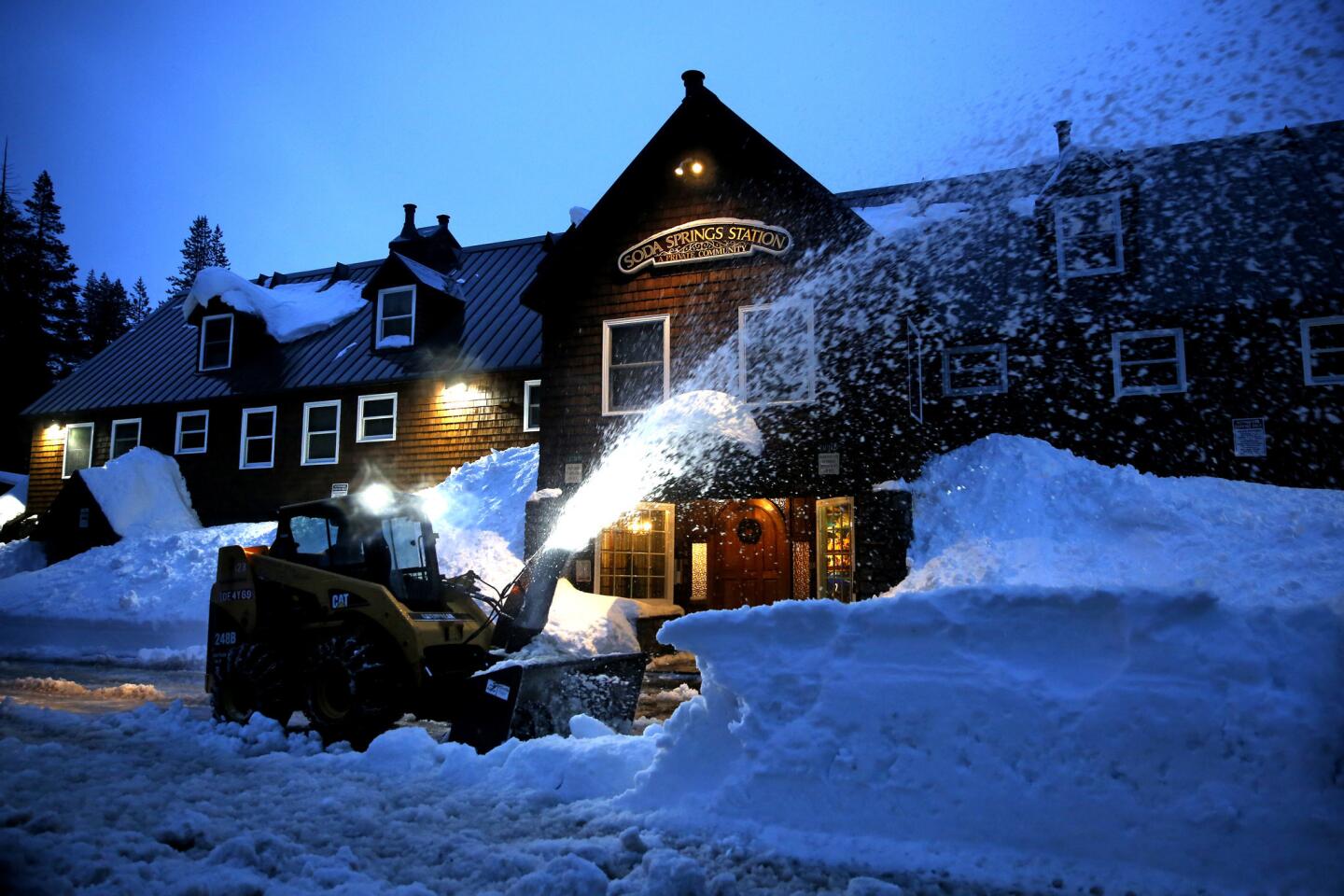
Mitch Brown operates a skid steer removing snow so water can flow freely preventing flooding in Soda Springs, Calif.
(Gary Coronado / Los Angeles Times) 49/67
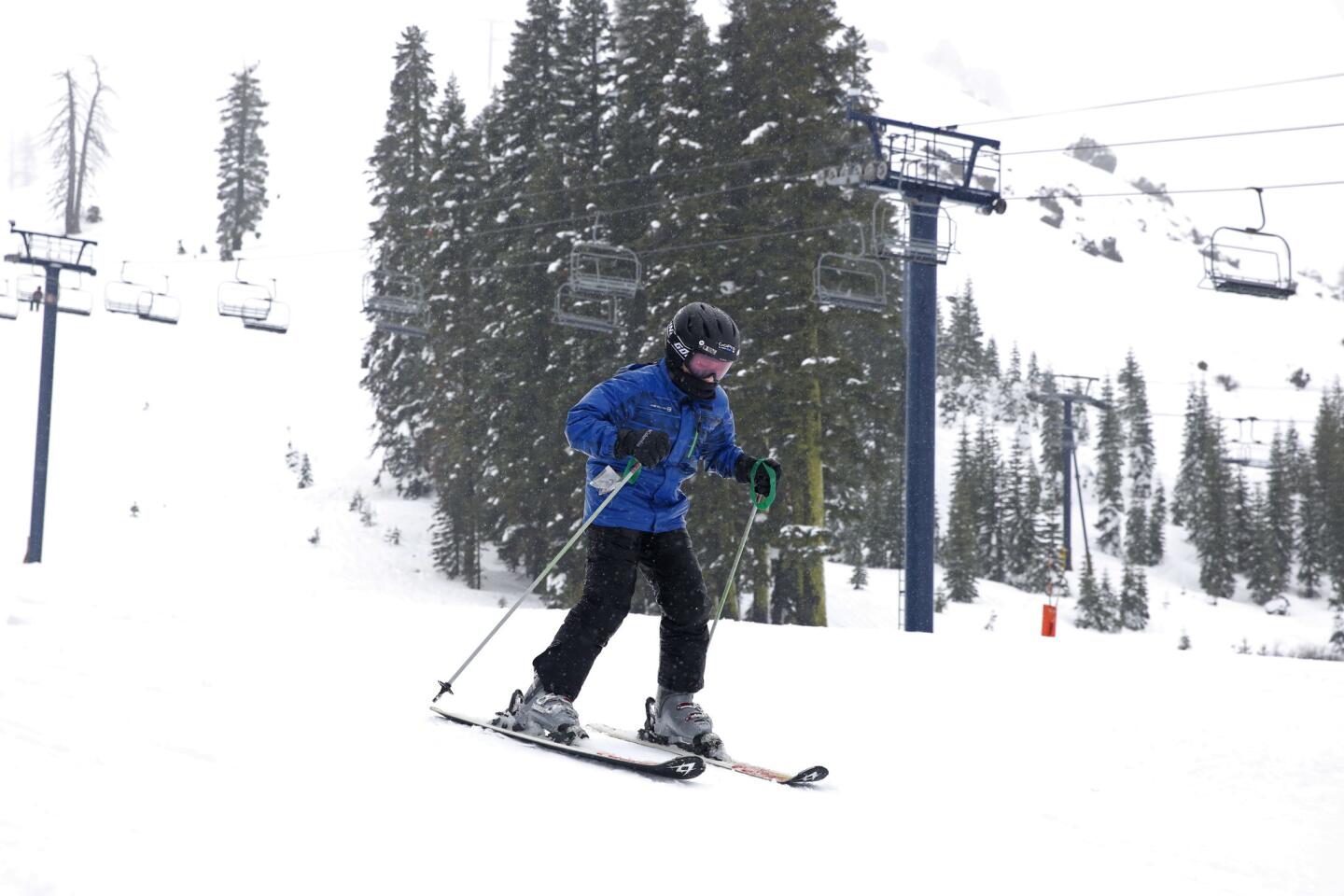
Skiers coming off the mountain endured rainy conditions all day at the Sugar Bowl Ski Resort, in Norden, Calif.
(Gary Coronado / Los Angeles Times) 50/67
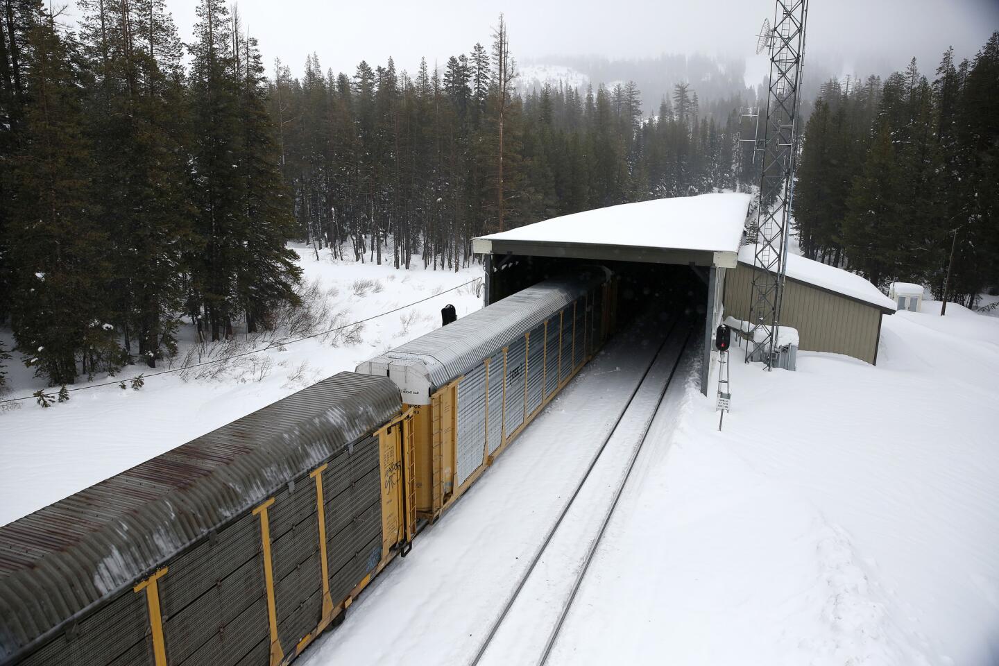
The train passes under an avalanche tunnel near the Sugar Bowl Ski Resort, in Norden, Calif., on Jan. 7, 2017.
(Gary Coronado / Los Angeles Times) 51/67
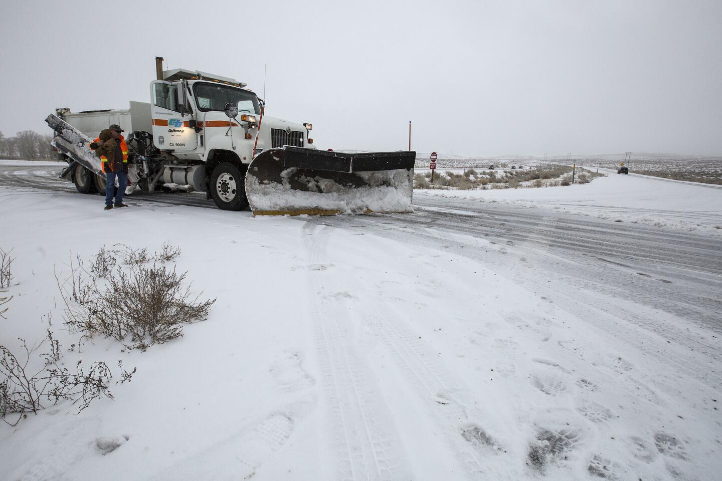
Caltrans snowplows clear heavy snow from the northbound lanes oh highway 395 as snow falls on the Eastern Sierra near Sherwin Summit, Calif.
(Brian van der Brug / Los Angeles Times) 52/67
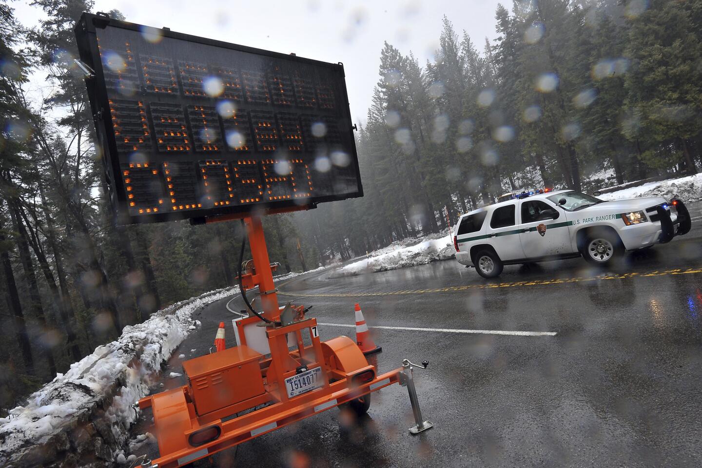
A sign at Wawona and Glacier Point roads alerts visitors that roads into Yosemite Valley in Yosemite National Park are closed. (Silvia Flores / Associated Press)
53/67
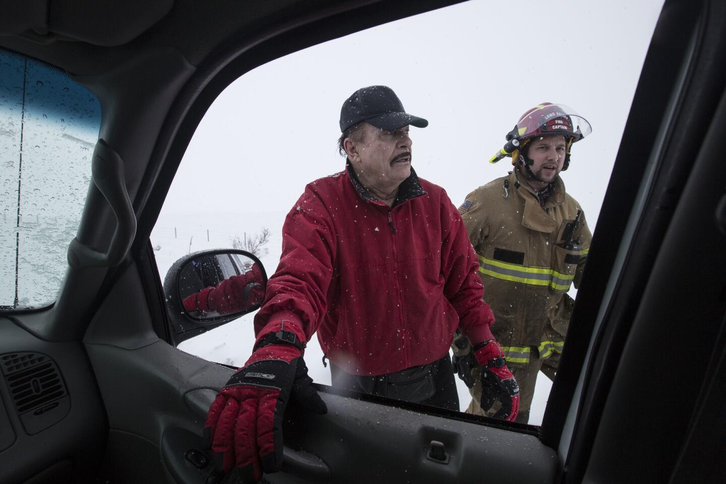
Actor Max Baer Jr., left, talks with emergency responders after flipping over his SUV in white-out conditions while traveling northbound on U.S. 395 near Crowley Lake as heavy snow falls on the Eastern Sierra Nevada, Calif. The star of The Beverly Hillbillies said his was not injured.
(Brian van der Brug / Los Angeles Times) 54/67
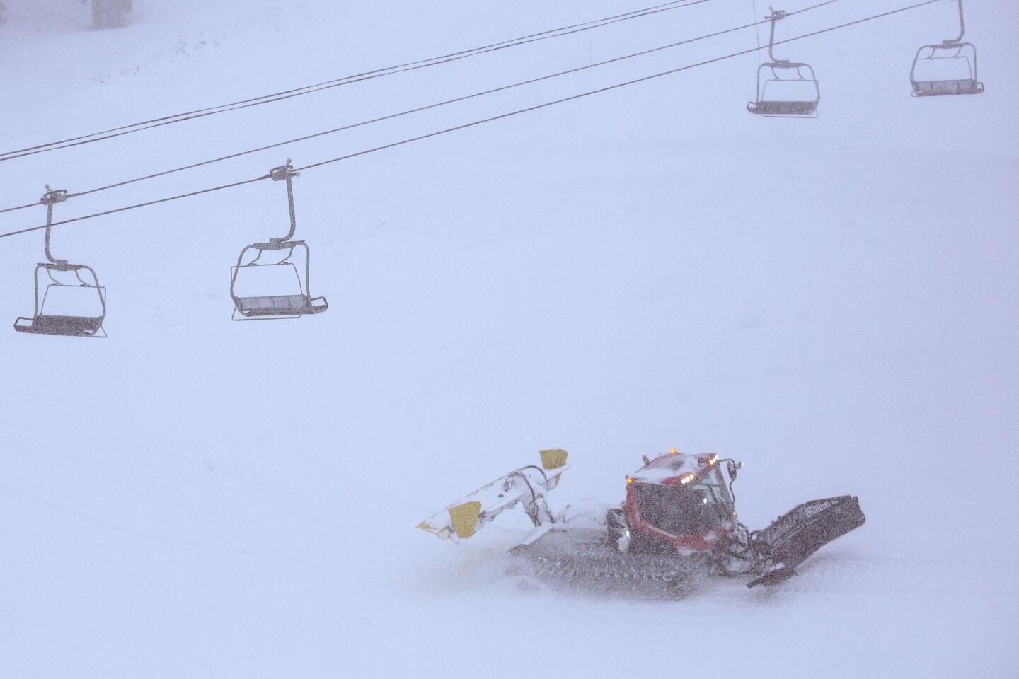
A snowcat moves snow in near whiteout conditions on the slopes at Mammoth Mountain.
(Brian van der Brug / Los Angeles Times) 55/67
A CHP officer maintains a checkpoint to ensure vehicles are compliant with R2 chain restrictions on the northbound 395 just north of Bishop as snow falls on the Eastern Sierra Nevada.
(Brian van der Brug / Los Angeles Times) 56/67
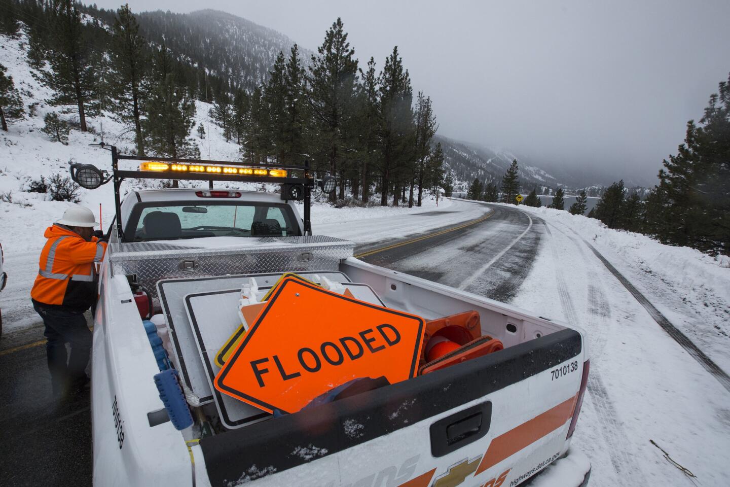
Caltrans crews have a road-flooded sign in case of heavy rain and snow near the Eastern Sierra Nevada town of June Lake, Calif.
(Brian van der Brug / Los Angeles Times) 57/67
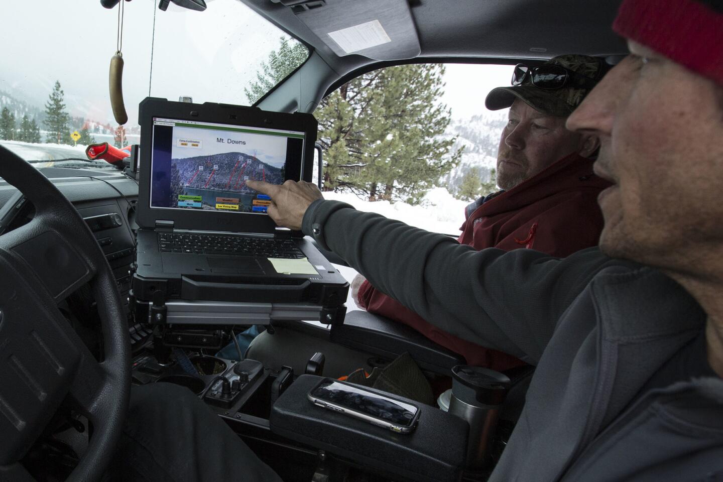
Caltrans avalanche crew members Sky Greytak, right, and Pat Brannen, left, prepare to set off explosive charges remotely from a laptop during avalanche control operations near the Eastern Sierra Nevada town.
(Brian van der Brug / Los Angeles Times) 58/67
Caltrans snowplow operator Mike Morgan prepares to turn his plow around after making loops on the 395 between Bishop and TomŌĆÖs Place, a route he drives 12 hours a day clearing heavy snow in the Eastern Sierra.
(Brian van der Brug / Los Angeles Times) 59/67
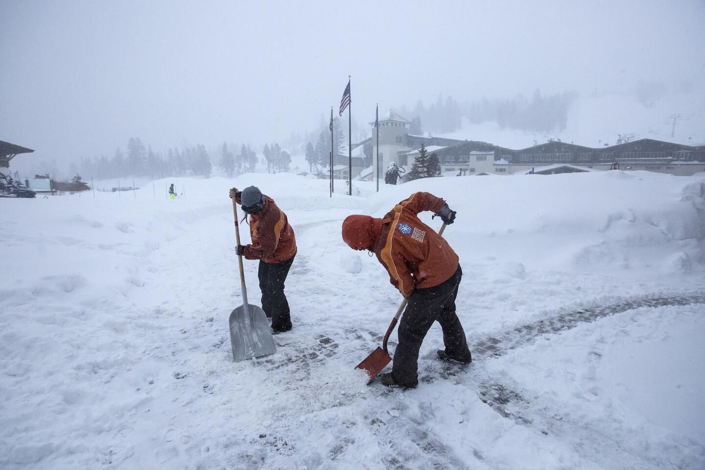
Mammoth Mountain employees clear paths as snow falls lightly Saturday morning.
(Brian van der Brug / Los Angeles Times) 60/67
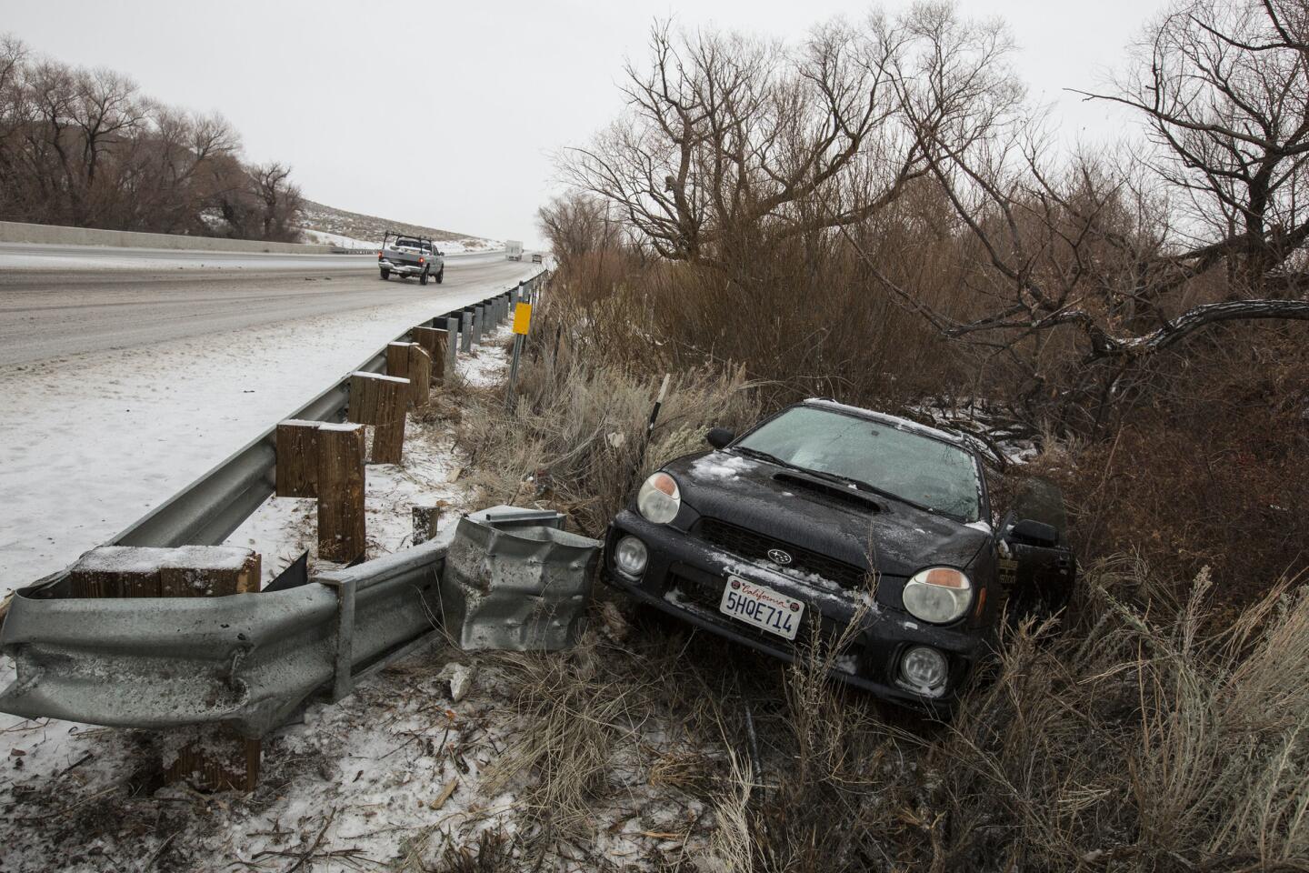
A car spun out and off the road just outside Bishop in sloppy road conditions as the snowfall level fell below 5000.
(Brian van der Brug / Los Angeles Times) 61/67
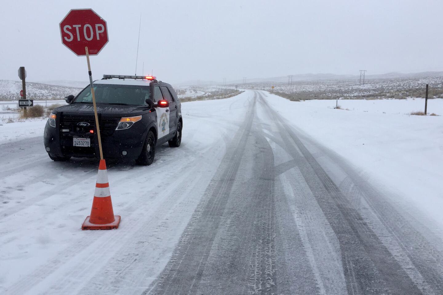
California Highway Patrol has established a chain checkpoint near Bishop.
(Brian van der Brug / Los Angeles Times) 62/67
Supermarket shoppers stock up before the big storm. (Brian van der Brug / Los Angeles Times)
63/67
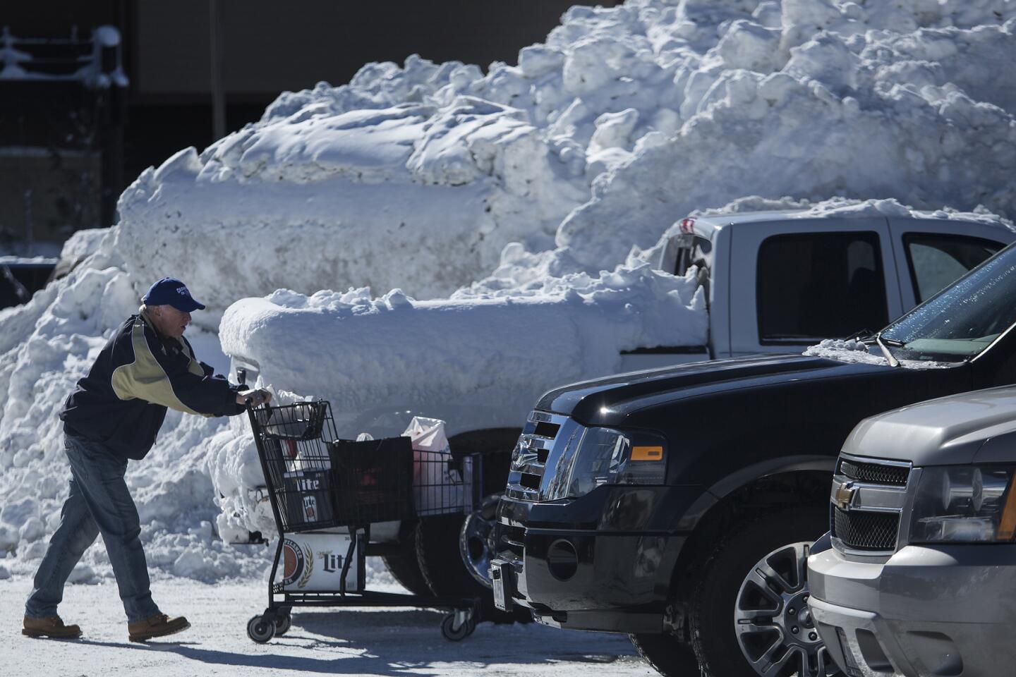
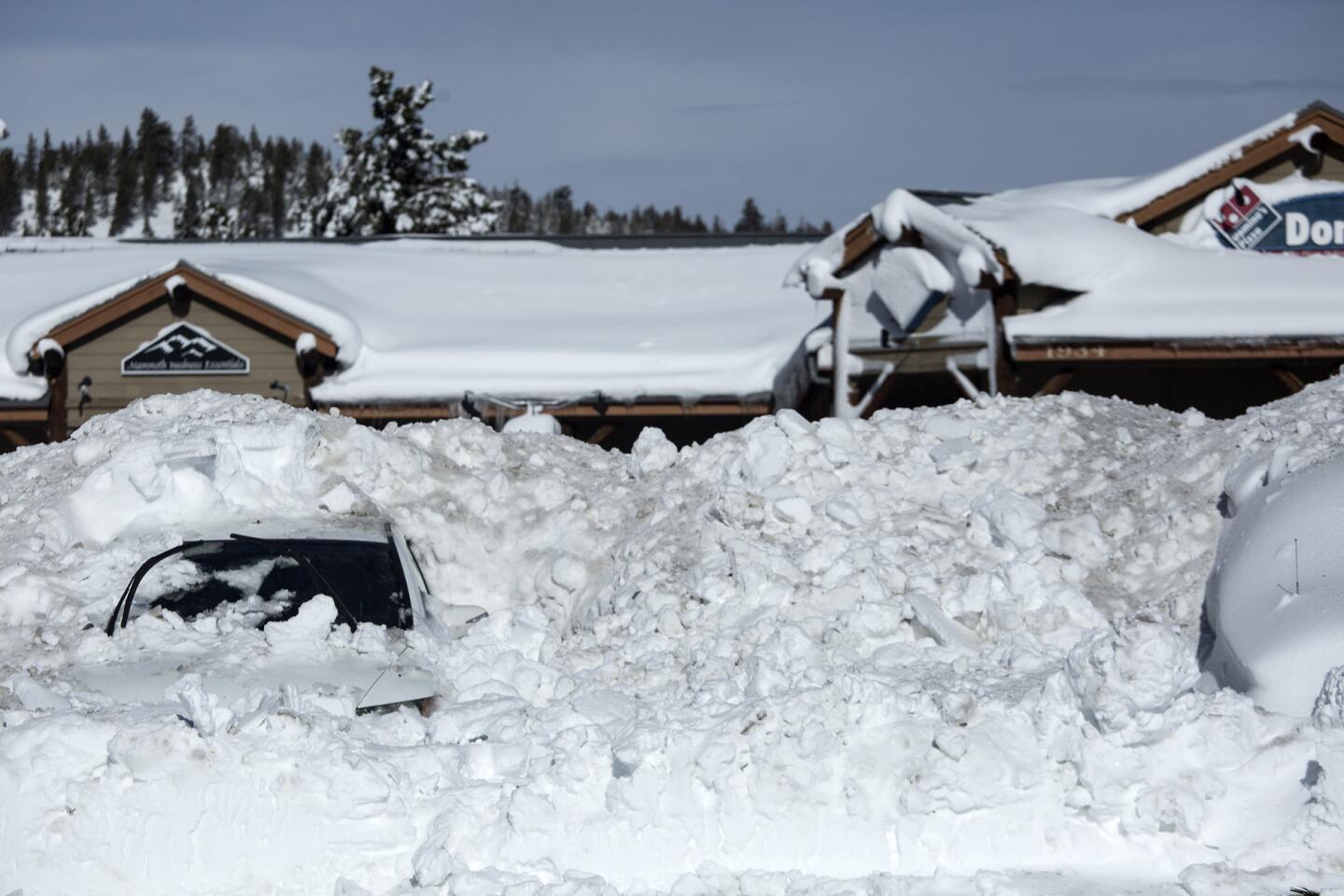
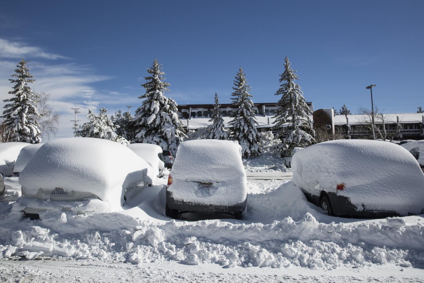
Snow covers vehicles in a parking lot in Mammoth Lakes.
(Brian van der Brug / Los Angeles Times) 64/67
Snow covers vehicles in a parking lot in Mammoth Lakes. (Brian van der Brug / Los Angeles Times)
65/67
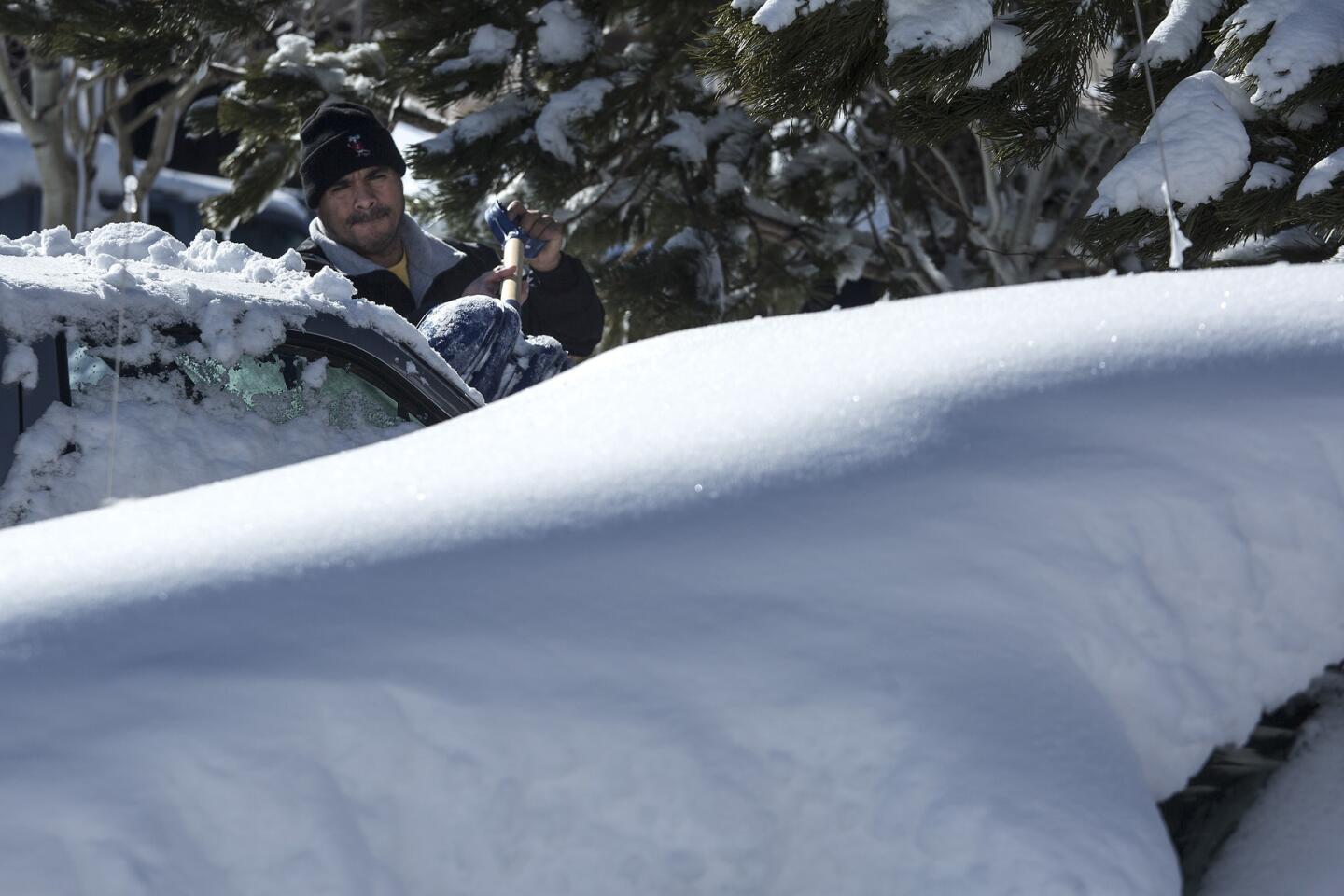
Jorge Gaydam digs out his truck in a parking lot.
(Brian van der Brug / Los Angeles Times) 66/67
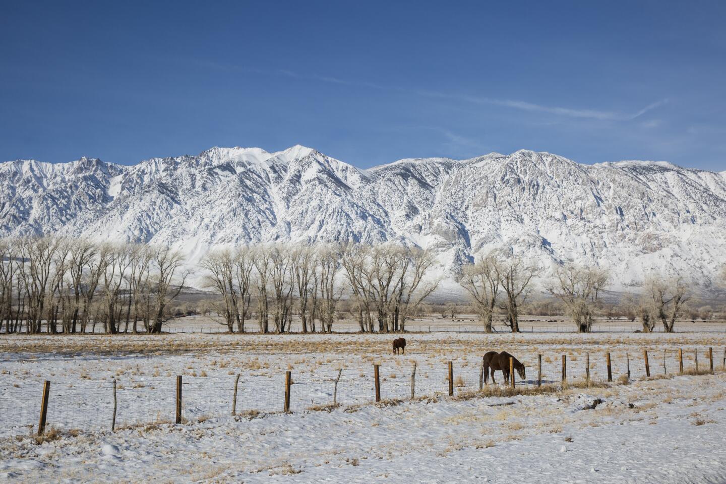
Snow blankets the Sierra Nevada crest north of Bishop along U.S. Highway 395 in Round Valley.
(Brian van der Brug / Los Angeles Times) 67/67
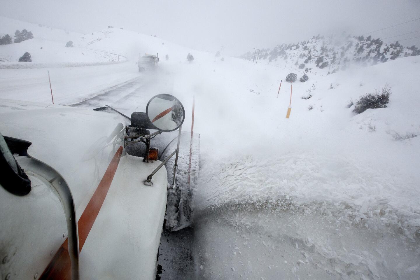
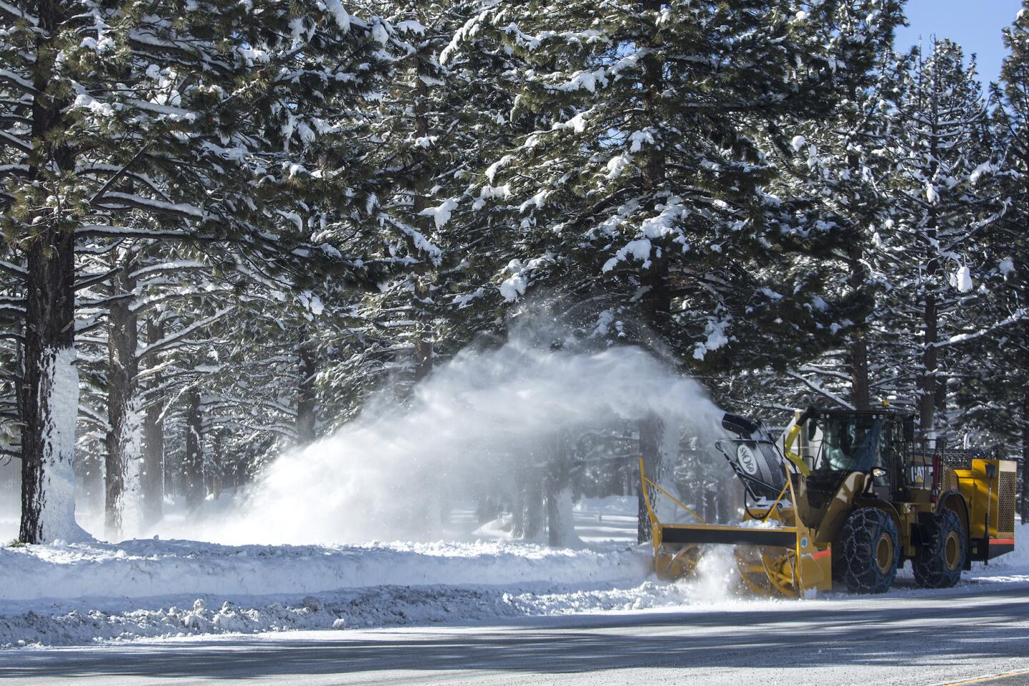
A plow removes snow from state Highway 203 in Mammoth Lakes.
(Brian van der Brug / Los Angeles Times) Yosemite National Park closed the popular Yosemite Valley because of flooding worries over the weekend, but reopened it Tuesday.
The Merced River in Yosemite Valley reached flood stage at Pohono Bridge on Sunday. The river peaked at 12.7 feet at 4 a.m. The park is assessing the impacts and will address any repair needs in the coming days and weeks. Although there was no major flooding in Yosemite Valley, its roads and sewer systems were affected.
Authorities were trying to determine whether the deaths of three people in the Bay Area ŌĆö one killed by a falling tree, the other two by car accidents ŌĆö were related to the storm.
In Southern California, more wet weather is on the way. A pair of storms predicted to move through the region throughout the week will bring moderate rains Tuesday and Wednesday, according to the National Weather Service, while a much colder storm Thursday and Friday could drop snow levels as low as 4,000 feet.
Rain will spread over Ventura and Los Angeles counties, the weather service said, followed by light showers through Wednesday night. That storm could bring 1/4 to 3/4 inches of rain. Snow levels could drop to 3,500 feet or lower Thursday afternoon, resulting in winter driving conditions in mountain areas. Snow and slick roadways may jam the commute in mountain passes, including Interstate 5 through the Grapevine. Rain and snow showers will continue in Ventura and Los Angeles counties through Friday afternoon.
Forecasters said this weekŌĆÖs earlier storm dropped .77 inches of rain in downtown Los Angeles, bringing the rain total to 7.21 inches since Oct. 1. The 30-year average during this time of year is 4.95 inches, said Jayme Laber, a hydrologist for the National Weather Service in Oxnard.
ŌĆ£WeŌĆÖre above average for this time of year in downtown L.A.,ŌĆØ Laber said. ŌĆ£ThatŌĆÖs a good thing, considering weŌĆÖve had 5 years of drought.ŌĆØ
[email protected]
[email protected]
[email protected]
[email protected]
St. John reported from Truckee, Sahagun from Mammoth Lakes, and Knoll and Serna from Los Angeles. Times staff writers Matt Hamilton, Sarah Parvini and Veronica Rocha contributed to this report.
ALSO
An iconic California tree becomes a casualty of this weekŌĆÖs storm
How much rain did we get? Ask the iRain app, created at UC Irvine
Skiers and snowboarders are inundating resorts, paying higher lift prices
UPDATES:
1:20 p.m.: This article was updated with Napa Valley flooding forecasts and predictions of intense wind gusts.
11:50 a.m.: This article was updated with river flooding forecasts.
8:44 a.m.: This article was updated with a revised forecast.
7:30 a.m.: This article was updated to add a blizzard warning.
This article was originally published at 5 a.m.
