This Sierra Madre trail conjures the âgreat hiking eraâ of the Old West
Sierra Madre was the starting point for many expeditions into the San Gabriel Mountains during the âgreat hiking era,â which began in the 1880s and continued until the Great Depression. From a former pack station that also functioned as a speak-easy and gambling house, this charming mountain community is still a great place to walk.
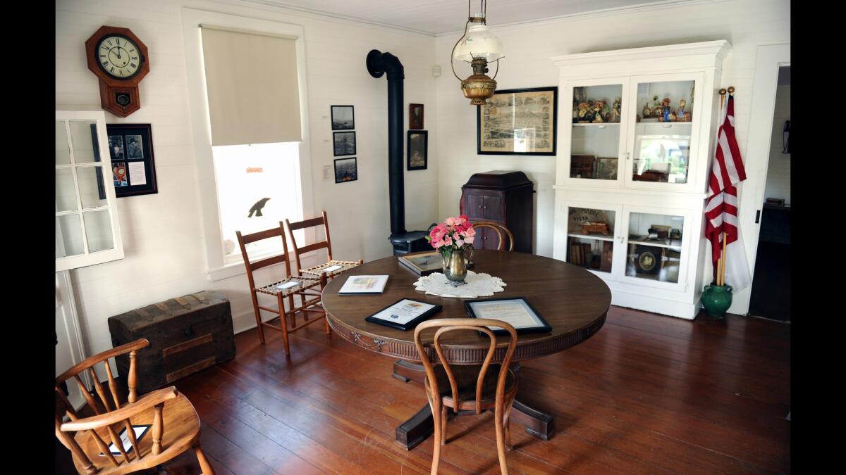
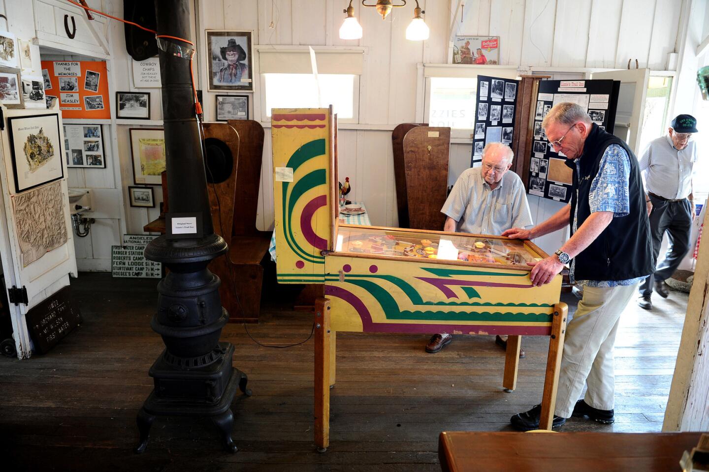
A view of the living room inside of the museum Lizzieâs Trail Inn in Sierra Madre.
------------
EDITORâS NOTE
Dec. 8, 3:57 p.m.: After this L.A. Walks article was published two homeowners in this Sierra Madre neighborhood emailed The Times to say that an alley mentioned as Step 3 of the walk is a private driveway and cannot be accessed by the public. Officials in the city of Sierra Madre have said they are investigating the issue. Until it is resolved, we recommend the following:
Instead of continuing up Churchill Road to Canyon Crest Drive, turn right onto Old Ranch Road, then right again onto Forest Lane. Turn left onto Sturtevant Drive and left again onto Woodland Drive. Bear left onto Brookside Lane. Pick up at Step 5 and complete the walk as originally written.
------------
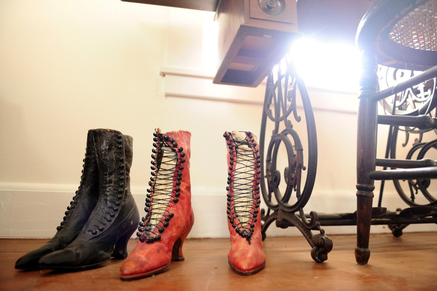
1. Start this walk from the front of Lizzieâs Trail Inn, at 167 E. Mira Monte Ave. The former pack station is now a museum, filled with beautifully preserved memorabilia, open 10 a.m. to noon Saturdays only. Walk downhill from Lizzieâs, past Mt. Wilson Trail Park, and turn left on Churchill Road.
MAP: Find the perfect L.A. Walk near you
2. Follow Churchill as it winds under oak and sycamore shade past Old Ranch Road, and bear right past Fern Glen, as Churchill turns into Canyon Crest Drive.
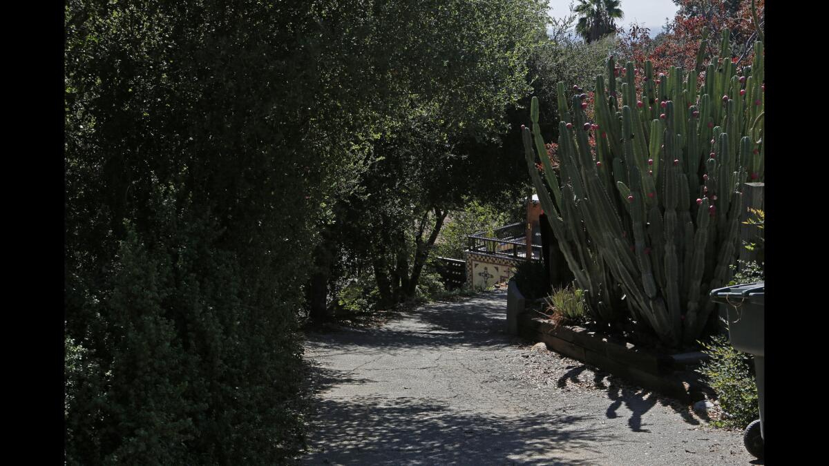
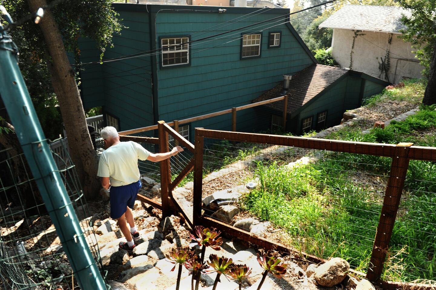
Just past the house at 668 Canyon Crest, turn right down this steep alley during a walk in Sierra Madre.
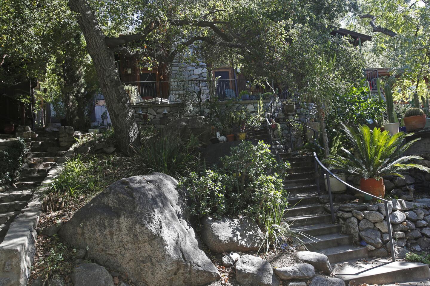
3. Just past the house at 668 Canyon Crest, turn right down a steep alley. Follow this down as it bends left. Look for a stone staircase between two houses, under a big oak.
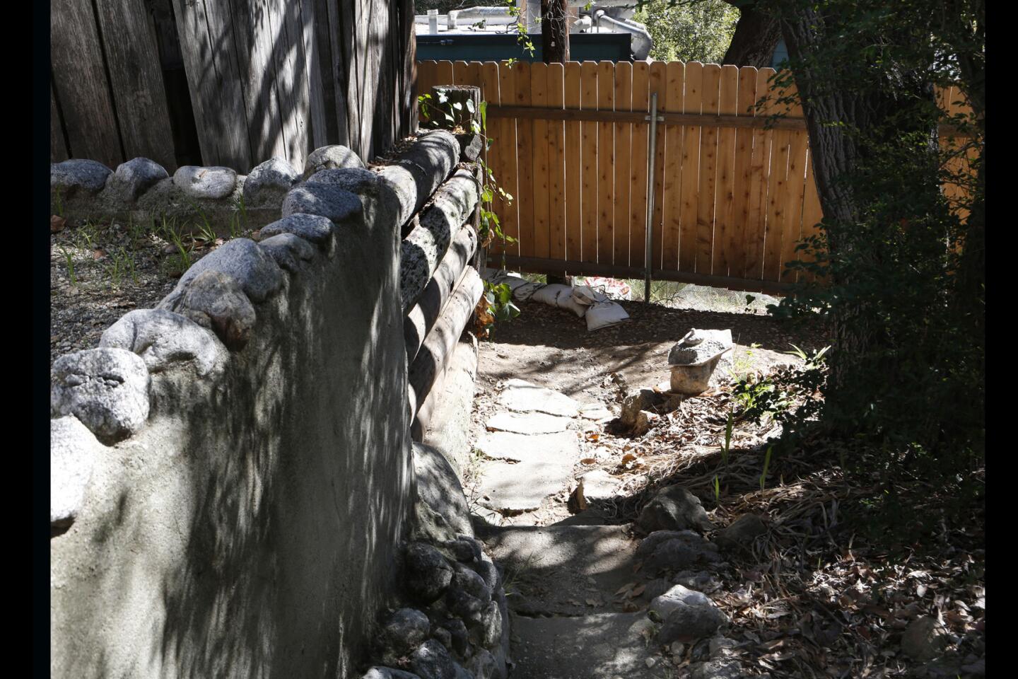
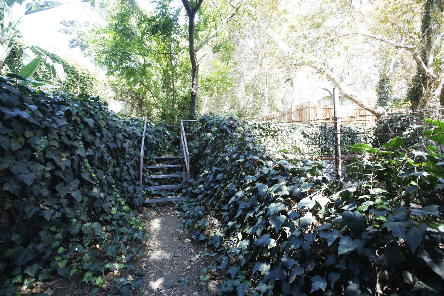
4. Drop down the staircase, jog left slightly, then catch another flight of stone stairs down to flat Brookside Lane, and turn left.
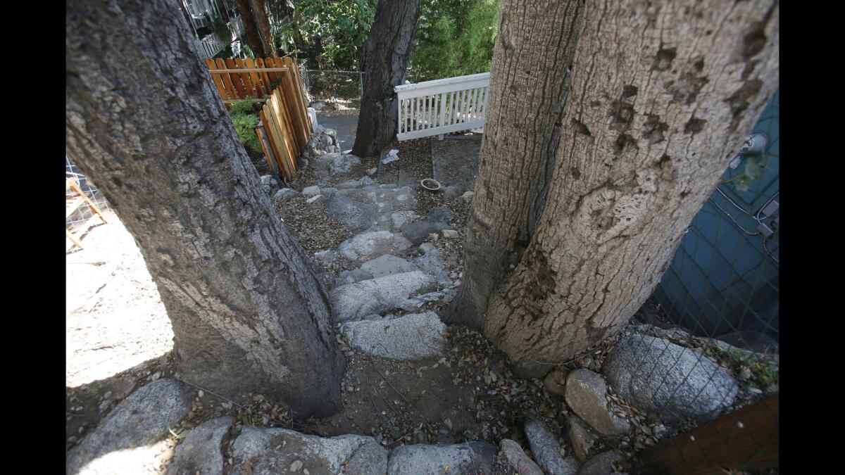
Then catch another flight of stone stairs down to flat Brookside Lane.
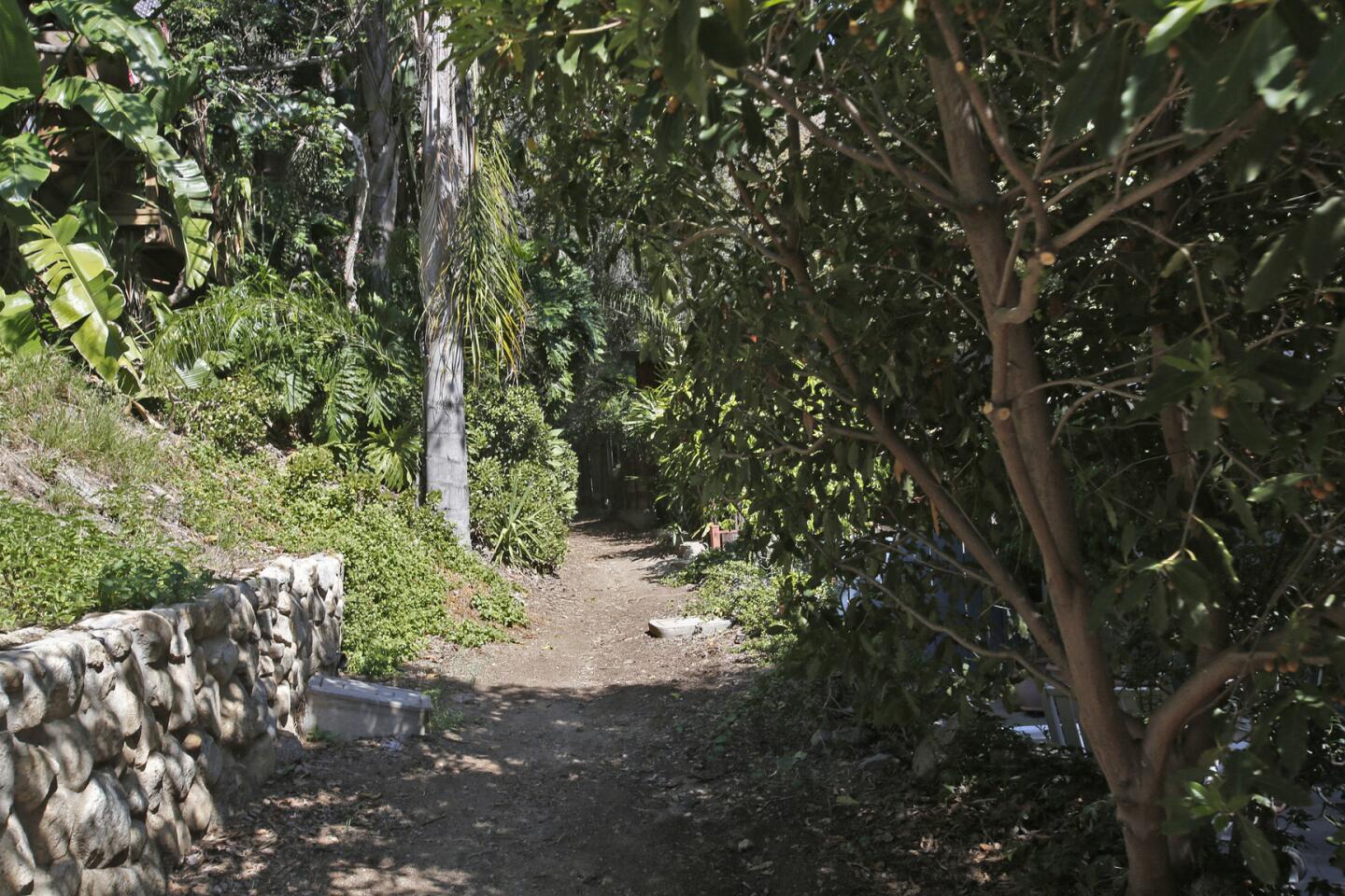
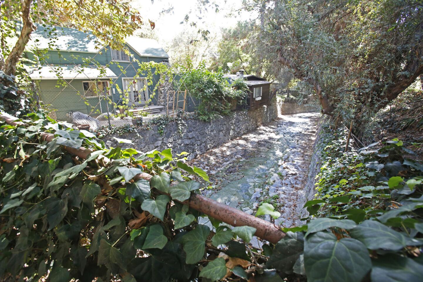
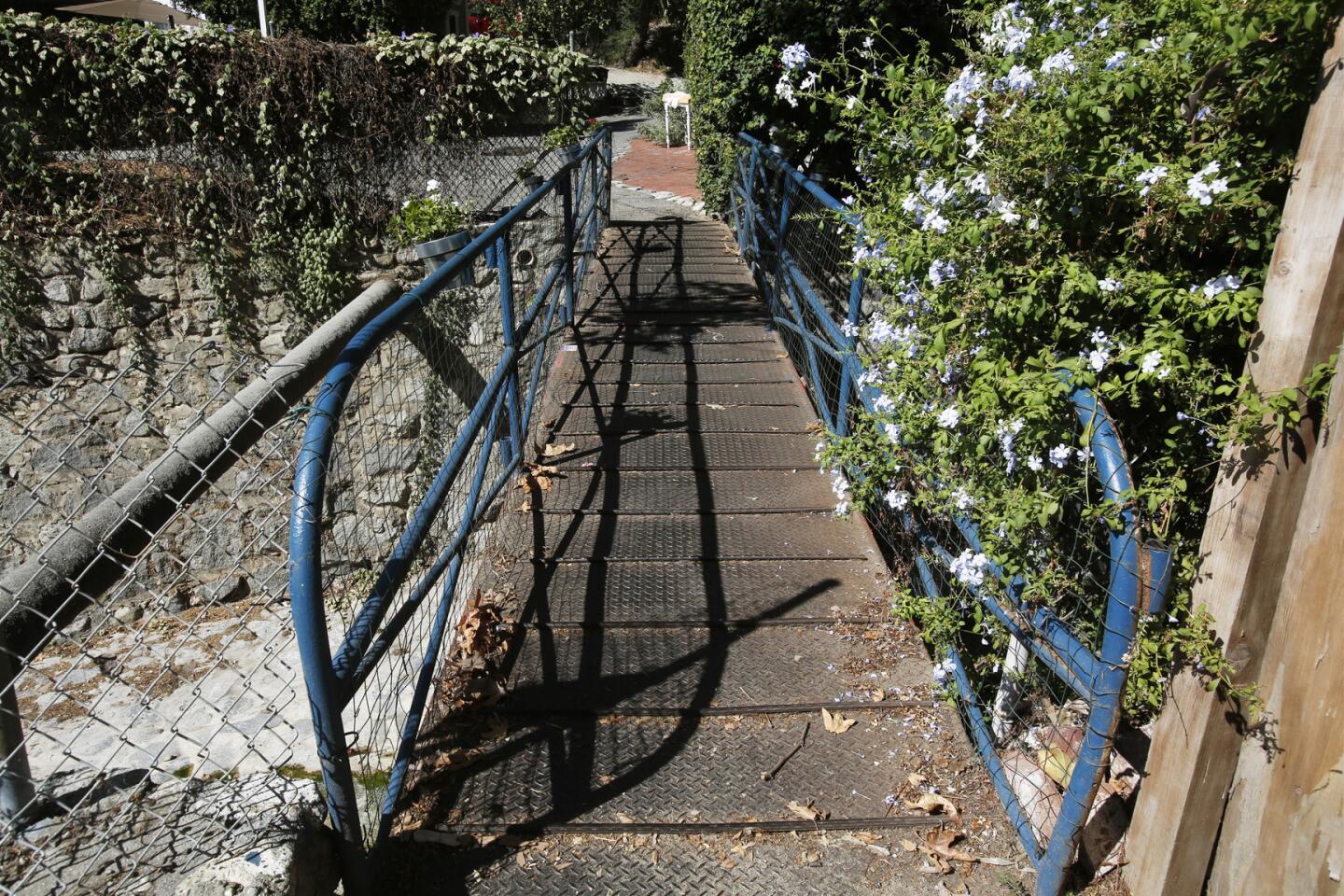
5. Walk uphill on Brookside, until the pavement ends and becomes a wide dirt pathway alongside a creek. Follow this trail as it climbs some steps and crosses the creek on a pedestrian walkway.
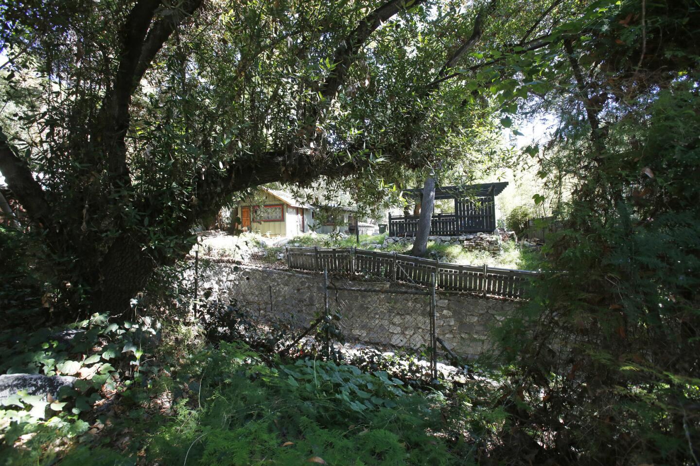
6. Continue uphill, along the creek, toward a lovely covered bridge. Just past this, and after the turning for Sunnyside Lane, cross the creek again, to the left, on a narrow steel walkway, and keep walking uphill.
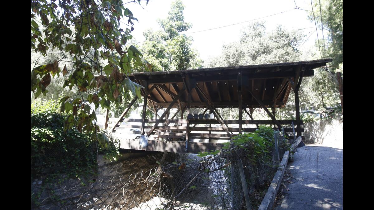
Continue uphill toward a lovely covered bridge.
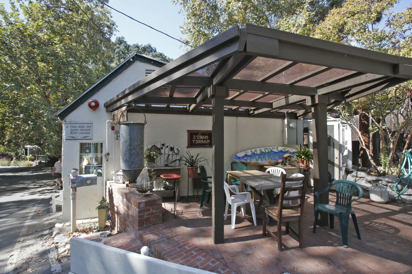
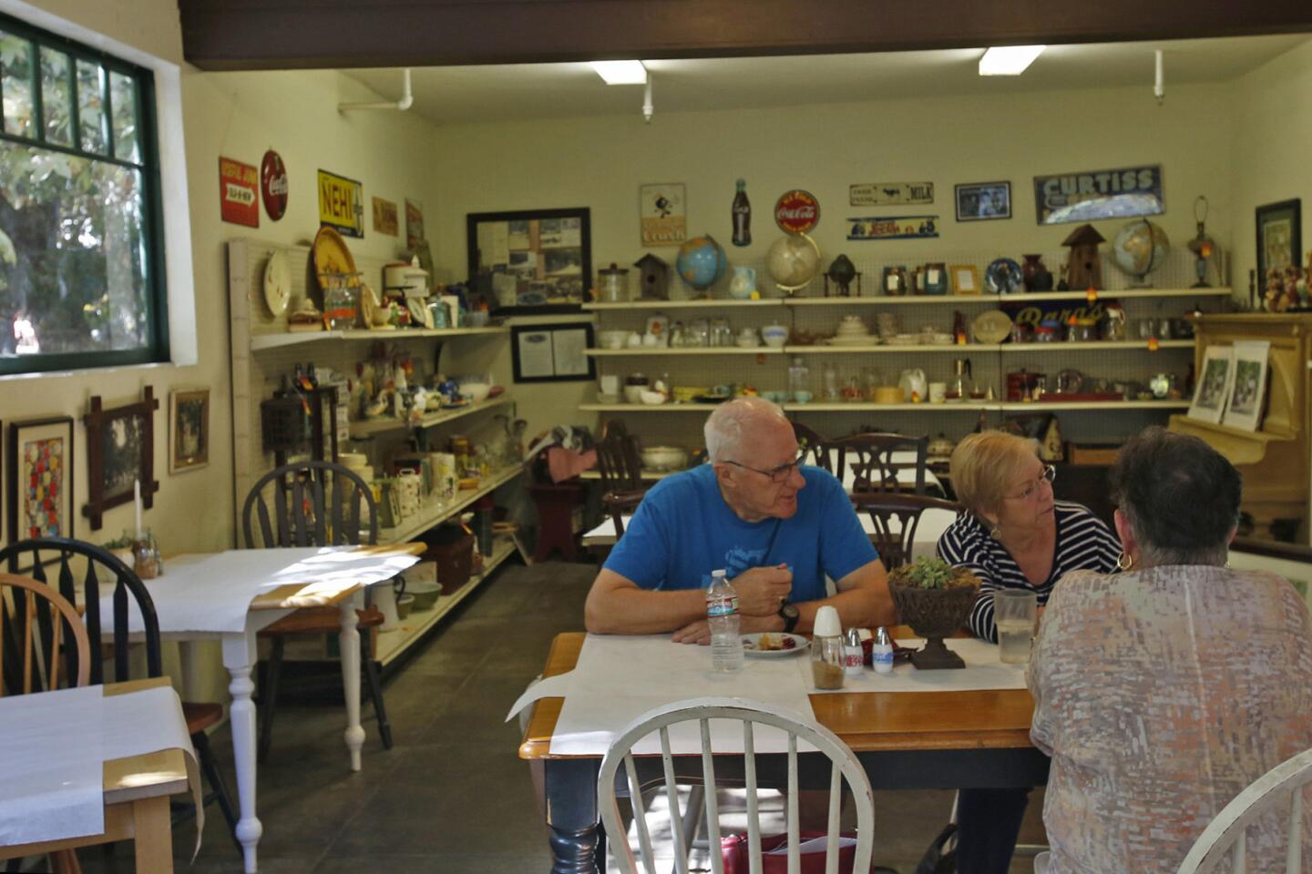
7. At the intersection where Brookside meets Woodland Drive, make a hard right turn and begin walking downhill on Woodland, past old stone houses, under deep shade. Continue until you arrive at Maryâs Market, a charming country store that serves breakfast and lunch (7 a.m. to 3 p.m. Tuesdays to Sundays, cash only) and sells knickknacks and local art.
8. Continue down Woodland. Turn right on Sturtevant Drive, and follow this all the way to North Mountain Trail. Turn right and walk a block to meet East Mira Monte Avenue, and find your starting point.
Fleming is the author of âSecret Stairs: A Walking Guide to the Historic Staircases of Los Angelesâ and âSecret Walks: A Walking Guide to the Hidden Trails of Los Angeles.â
Sierra Madre walk info
The stats
Distance: 2.1 miles
Difficulty: 2, on a scale of 1 to 5
Duration: 1 to 11/2 hours
Details: Ample street parking. Dogs on a leash are OK. Metro bus 487 stops nearby.
MORE L.A. WALKS:
L.A. Walks: Trek a ghost route left by the long-gone Red Car trolley line in Silver Lake
One reason to hike Rocky Peak in Simi Valley? Otherworldly rock formations
Oceanside Abalone Cove Trail on Palos Verdes is a walk to awe over
More to Read
Sign up for The Wild
Weâll help you find the best places to hike, bike and run, as well as the perfect silent spots for meditation and yoga.
You may occasionally receive promotional content from the Los Angeles Times.


